Monday, June 17, 2024

Mangas Mountains - Mangas Creek (San Antone Canyon), Gila (Apache) National Forest

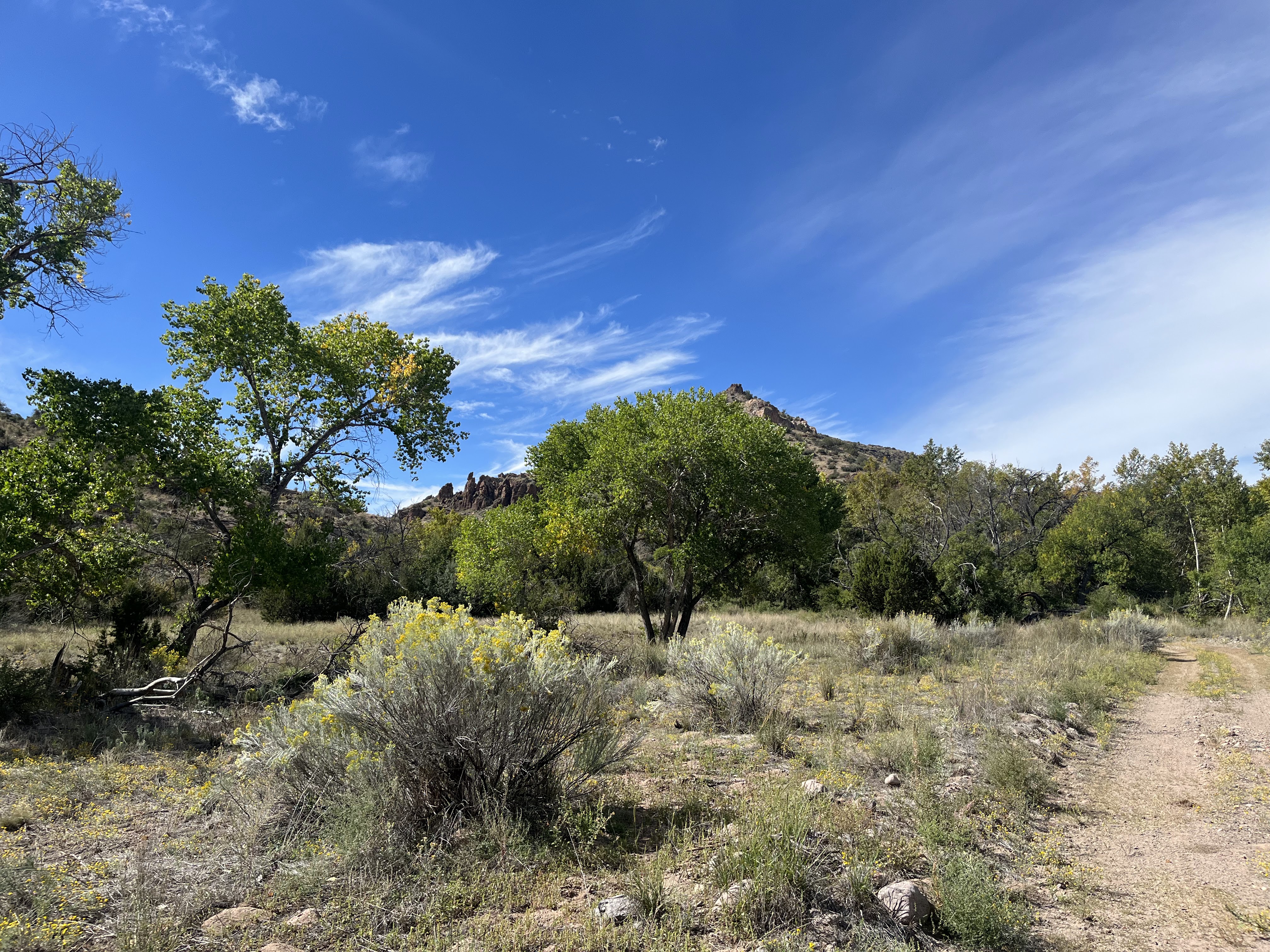
Mangas Creek

JD Pit Tank

The spring


Church ruin at Mangas NM.

It was going to be another hot one, but I didn't want to hang around the cabin all day, so this ( what turned out to be) all day adventure to Mangas Creek and beyond ended up filling the daylight hours very nicely. We headed out from the cabin on Horse Mountain and after about a half hour turned off of NM 12 onto  Catron County Rd. A0 95. It's narrow, and once we started heading up and up out of the flatlands, a bit rough. It's also a very scenic drive as it follows the twist and turns of Patterson Canyon. At the top is a large meadow area where we drove past a couple of bicyclists on the road. We saw one camper at Valle Tio Vinces on this Thursday morning among the huge ponderosa pines. Soon after we pulled off onto the road that mostly parallels Mangas and then parked at a dispersed camping area.

 I could already feel the the warmth even at 8200 feet when we emerged from the car, but as began walking we were happy to see water as we passed JD Pit Tank. On the first half of this hike before reaching a second larger tank it was pretty easy to stay in the shade even though Mangas Creek is very much a wet meadow type of stream and similar to the many drainages of the Lincoln National Forest in that there are few trees growing in the middle of the canyon. There were many pale purple and variegated wild irises everywhere though. The very narrow actual watercourse, 1-3 feet wide in most places had no flow except a meager amount in a few short stretches but we could tell it had been flowing nicely earlier in the spring.

Aspens began showing up as we kept a slow pace up the trail-less canyon. It had been awhile since I had laid eyes on any and they were a sweet sight and kept our spirits up even as the heat of midday settled upon us. 

Approaching the second man-made pond (tank) the stream had a bit of flow in its channel and there were areas of saturated grass as well. Just past the tank we rested for a bit and ate some snacks. I was still hoping to get to at least the first of two springs that are indicated on maps. The problem was now the canyon was much wider and very open. We clung to the tree lined edges as best  we could but it was hot and the stream was completely dry now.

When we arrived at where the first spring should be, we had some difficulty at first finding it, but I eventually located it emerging from the dry hillside and flowing very weakly across the old road for  about 25 feet  before completely disappearing under and old fallen log. It was hard to even fill two small water bottles for my dogs for the hot return trip. We used the somewhat shaded road for the first leg of our return trip. At the larger tank where I wet my older scottie down, which gave him new life for the rest of the walk.

A couple of things I noticed about Mangas Creek. It is not currently being used by livestock and doesn't appear to have been for a while. The tanks were fenced, I believe, to keep straying cattle out while continuing to be a source of water for wildlife. The old road does not appear to get much use. 

We decided after getting back to the 4Runner that we would drive north instead of  going back the way we came. The road followed Mangas Creek in a more or less straight shot eventually passing the  forest service work center just before leaving  national forest lands. Shortly thereafter, we encountered a couple of tumbledown buildings next to two small ponds. Across the road was the stone and adobe ruin of a church. This area is known as San Jose Springs. Further along was an abandoned tin roofed house that stood that sat on a treeless hill and then further still a couple of much larger adobe ruins close to the road. Behind them were more recent (but not that recent) houses, trailers corrals and buildings. Most of the many trucks and other vehicles that were scattered about seemed non-functional, but it was hard to tell if the homesteads had been abandoned completely.This is what remains of Mangas, NM.

 Miles and miles of low rolling hills followed, populated with sagebrush, weeds and maybe a bit of grass. The only trees were tucked against the lonely ranch houses or shading a livestock tank. We made it out to Highway 60 eventually then in Pie Town turned back toward Horse Mountain first using the South Pie Town Road, which is twenty miles of roller coaster country lane complete with several blind hills and blind curves, before turning onto the more reasonable Green Gap Road.

UPDATE (6/7/24): Within hours after we left Mangas Creek, a lightning strike on a nearby ridge started the Antone Fire.  It is being managed  for beneficial effects within a contained perimeter. Where we hiked is currently closed. The area may look quite different from what is pictured here.
Labels: , , , , , , ,

Monday, October 30, 2023

Ladder Ranch - Las Animas and Seco Creeks

Las Animas Creek

North Seco Creek

Las Animas Creek


 Looking down to Las Animas


Sycamore

Padilla Homestead


Artifacts, grinding mortars at the Padilla Homestead

 North Seco Creek


 We visited the Ladder Ranch for the second time a couple of weeks ago (10/14/23). Andrea had given me another full day tour for my birthday. We first looked at areas where they are doing endangered species work with tortoises and prairie dogs that are the southern edge of the ranch. After switching to a side by side ATV at the ranch headquarters we then headed up Las Animas Creek. Initially, after crossing the creek, we went high above it on a very primitive road because of a very narrow box canyon. Eventually, though we descended back to the stream bottom. I have nothing good to say about the section of road that brought us down. It is not for the faint-hearted.

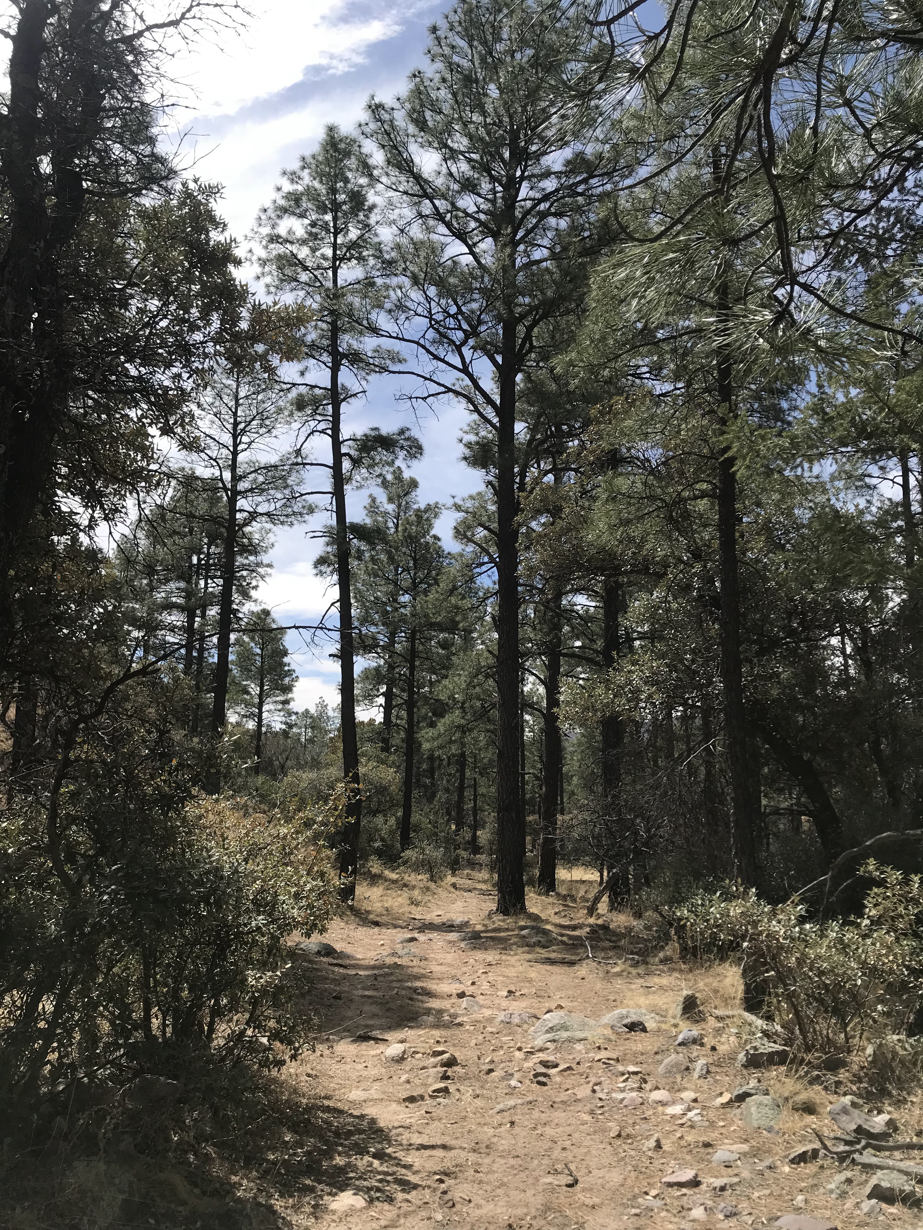
 Down in the valley were sycamores, cottonwoods, alders, and ash trees. Some were still bright green, others beginning to turn. The creek, a few inches of tea colored water, trickled in the middle providing for this miraculous riparian display. We visited the old Padilla Homestead with its crumbling adobe walls. Just a few yards from the stream, it was a desert scene with mesquite and thorny shrubs poised to engulf the place.


Further on we encountered areas where the bosque had burned in the Black Fire and got a look at a few petroglyphs as well.

 For the second half of our trip, I wanted to get over to Emrick Canyon which is tributary on the south side of South Palomas.That meant getting up and out of Las Animas on a "road" that was equally unnerving as the road that had brought us down. We then moved over on the high plateau to descend to first South Seco Creek and then on to its confluence with North Seco. The vast, grassy table lands of the Ladder Ranch are just spectacular to behold, but without time and right light of day, no photograph that I could take would do any sort of justice to the feelings of awe I get when encountering them. I refrained. In addition the prairie dog,  and the tortoises from early in the day before going up Las Animas, along our trek we saw wolves (in their pens), bison, turkeys, deer, red tailed hawks, lizards, a burrowing owl, scaled quail and many smaller birds that our guide Ken Stinnett pointed out to us.

In North Seco, there were springs, but no flowing stream. Narrowleaf cottonwoods were turning bright yellow against the sinuous gray cliffs of conglomerate. A beautiful scene.

NOTE: the Ladder Ranch is private property and not open to the public. You must arrange (and pay) for a tour  through Ted Turner Reserves.

Labels: , , , , , ,

Wednesday, April 6, 2022

Aldo Leopold Wilderness - Bald Hill Trail 4081C, Gila National Forest


A couple of years ago, we parked at this same intersection ( FR 157 and FR 4081C) and hiked down the lower part of Dumm Canyon. The stream was flowing under blue skies and it was beautiful day. Back then, I made a mental note  to one day hike upstream from the same spot to see what we could see. This past Sunday ( 4/3/2022) we did just that. Conditions were a little different though. It has been brutally dry once again. The only real water we saw was crossing North Percha Creek. When I got out of the truck, I was immediately hit by how warm it was,  which made me think that now even the early Spring might not be  great time to visit anywhere but the highest elevations in Black Range.

 The trail is really an old road. A short way in we saw some walls and pieces of tin roofing, and then a side road that went steeply up a hillside to a mine. This, plus the cabin ruins to the east are all that is left of the tiny settlement of Danville, which is mentioned several times in James Mckenna's famous memoir "Black Range Tales."

 Metal headframe to the right of the pine


 We found a built up gravel platform which had stone foundations on the other side of the creek as well. There may have been some ore processing done here, but there were no artifacts to be found to confirm this. We continued on. It was actually a pretty little forested hike for about a mile that would have seemed much more pleasant but for the frighteningly dry state of the forest.

As we walked I kept looking up to the north side of the road for any sign of Bald Hill Spring. I was hoping to see an unusual density of vegetation, or perhaps some deciduous trees or shrubs just budding out, but I really saw nothing that gave it away. If it hadn't been so warm, and that given the conditions the spring might not even have any flow, I might've trudged up the hillside to find it. Another day.

 Eventually, the road ended and we followed a faint wildlife trail which quickly entered an area of dead trees and burnt snags. We could see green forest again about 1/3 of mile away, but from this point on it seemed that along the  boulders in the creek bed was probably  the only reasonable way of continuing on  given the density of low growing brush, coupled with the many unstable ravines on its rugged banks.  Too rough and too warm to tackle that day, especially with the dogs.

We stopped when we had gotten to a point with unobstructed views of a pointed mountain of brilliant white rock shimmering a half mile in the distance. We walked back and then went a short distance east and visited the cabin ruins we had found a couple of a years ago.

Found- 1 vintage Michelob bottle. 1 vintage Heineken bottle. 1 more recent can from the Bosque Brewery. Little else, which shows either the lack of visitors, or the general environmental awareness of those who do, or both.

 NOTE :  After about .60 miles the trail enters the Aldo Leopold Wilderness where vehicles of any kind are prohibited.

Labels: , , ,