Little Florida Mountains - east side


The Little Floridas don't look like much more than low brown hills from I-10, or NM 549, especially when contrasted with the Floridas towering behind them with the many ups and downs of its wild ridgeline of towers, peaks, pinnacles and hoodoos. Closer inspection reveals a different situation.
More than a week before I had noticed all the yellow at the base of the Little Floridas, and thought they might be good for a poppy drive and then coming back from the hike in Lobo Draw ( in the "big" Florida Mountains), I caught a glimpse of the Little Needle Eye arch off in the distance, and got the notion to do a hike over that way soon. A couple of days later I went.
Beside the arch, I saw something called "Indian Post Office" on the topo map of the area. I wasn't sure what the label is referring to ( I'm still not sure), but the name certainly is intriguing. In addition, Google Earth research revealed the narrows of Bobcat Canyon which I thought would be fun to explore.
My friend David met me at the Akela Flats exit and then we drove on until finding our turnoff from NM 549. We opened the gate and had only driven a short way on the Luna Mine Road when we stopped to read this sign.

My plan had been to drive to the mouth of Black Rock Canyon, from there it would be only a mile walk to enter Bobcat Canyon. After exploring there, we could check out the mining areas, other canyons draining to the east, and the aforementioned Indian Post Office. Now we had to re-think the whole thing. At first we drove down the pipeline road immediately on our right, looking for another mine road that would take us in the same direction. We could see one off on a hill, but when we found it in the bottomlands, it was all but invisible and definitely not usable. The pipeline road itself had a washout that was deep enough to prevent us driving any further east as well. The maps indicate a "jeep" road leaving out from near the Adobe Deli, but it looks questionable on Google Earth and would necessitate backtracking to Lewis Flats Road etc., etc. We parked and just began walking along the BLM property line at first and then bearing southwest. Shortly after connecting with Luna Mine Road, a truck was coming behind us. Initially we thought " land owners out to harass us," but it was only a couple out to look at the poppies. More than likely they had driven right by the sign that caused us to change our plans, and it made me think maybe we should have just ignored it too.
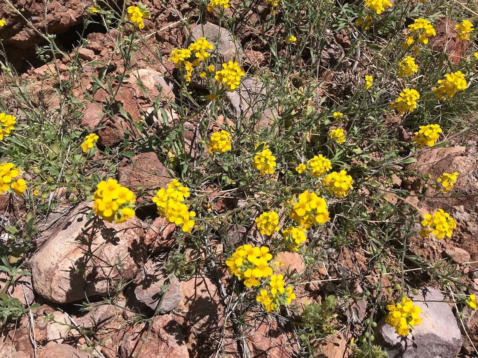
It wasn't a bad walk though, and there were plenty of poppies, as well as other wildflowers to enjoy as we went.


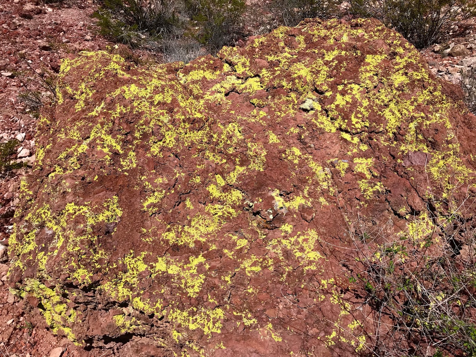
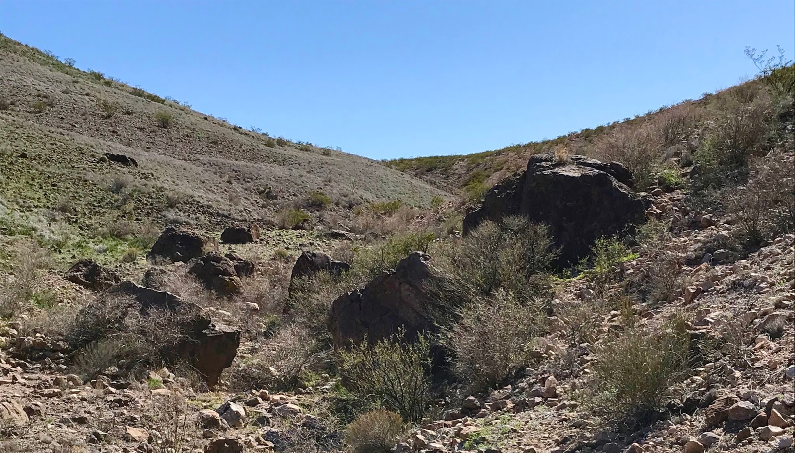
 When we started seeing rusty cans, broken dishes and bottles, as well as chunks of black manganese ore, we knew we had arrived on the outskirts of the mining area. Now where to proceed? Above the mines and tailings piles, the east face of the range presented itself as very rugged little bit of territory. Rough cliffs of red conglomerate with many alcoves and crevices, were fractured by narrow, steep and boulder filled ravines where a scant few junipers grew. I zig-zagged up through the bluffs straight ahead finding the necessary breaks in the cliffs to continue ever upward. I found a huge alcove, big enough for many people to stand under, but found no evidence of a human presence either ancient or more recent. There was mountain lion scat though. I circled around to the west from there, hugging the cliffs until I arrived on a narrow windy plateau.


 I caught a glimpse of David who had climbed up and over a grassy swale at the Little Gap and was coming up a steep gully from the north. I later found out he had difficult time getting through the cliffs at the top ( invisible to me) to arrive at the same plateau. I investigated some more alcoves in the huge orange rock prominence just to south. It occurred to me that maybe this formation was the " Indian Post Office, " but why it had that name when there was no evidence of use by Indians that we could find, I don't know.
We now circled around it finding more alcoves, including one with native tobacco growing it, but nothing else, pottery, petroglyphs, lithics, to indicate past use by native peoples.


At one point, I was high up enough in the canyon to catch sight of the communication tower on the top of the mountain. I had the idea of walking on the top over to Bobcat Canyon, but that was not to be. Instead we began to make our way down. After flushing out a javelina from the brush, I found a way down into the crazy conglomeration of boulders, bedrock, and bit of water that is the upper reaches of Coyote Arroyo which is just north of the Little Needle Eye.

My knees were shot for the day, and I was wishing to get down to level or at least gently rolling ground as quickly as possible. I hit a waterfall, which forced to the south side of the streambed where I noticed a mine road above and opposite me. I wasn't climbing up to it, so I continued further south and down. An eagle soared out of the rock just below me. A rare chance sighting from above. It turned as if it were coming back toward me ( yipe!) initially, but then went out to glide over the flatlands to the east. I came to a stoutly built barb wire fence of a more recent vintage that was holding its own quite well. The wire was quite tight still and the lower strands low, so I continued on parallel hoping for an opening. Eventually, I climbed over, where it was tied to heavy piece of timber.
The poppies here were magnificent. The grew all the way up the side of the mountain above the arch and made the whole hillside shimmer.

I saw the large mine workings at Black Rock Canyon, and thought about walking on to Bobcat Canyon, but I was played out for the day from all the up and down on the steep rocky slopes. I turned around and began the 2 mile walk back to the trucks. I assumed David would have been way, way out in front of me, but eventually I caught sight of him, maybe 5 minutes ahead.
Labels: geology, ghost towns, hiking, natural arches, rockhounding, scenic driving, wildflowers
posted by Devon Fletcher at
3:32 PM
0 Comments
![]()
![]()