Saturday, December 26, 2020

Rincon Hills- mesa exploring


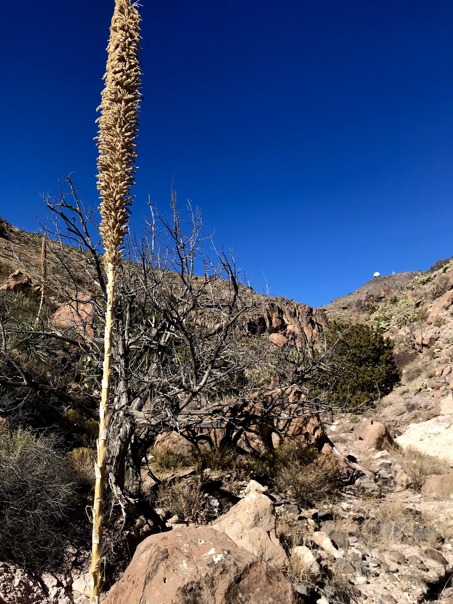
The first portion of this hike I did last winter with friend, David Soules. This time I was venturing beyond our exploration to the north to look at low ridge of dark volcanic rock that splits the mesa. Climbing upward, after leaving the calm down in Johnson Spring Arroyo, the wind really began to pick up. Ahead, next to a yucca, I saw what I thought was the rear end of either a deer or a javelina. As I got closer and closer, I decided that it must just be rock, because any animal would've up and run by now. Of course, soon afterward, I was proven wrong and right, when the doe stood up  as I was probably only 30 or 40 feet away. Nearby, her mate, a nice looking buck, stood up as well. He had been blending in so well, I hadn't noticed him at all. They both gave me a long stare, and I believe if I hadn't taken a step closer,  it could've been longer still. Then, after those moments when time stands still, it rapidly readjusts, and they were gone with high bounds over the ridge. 

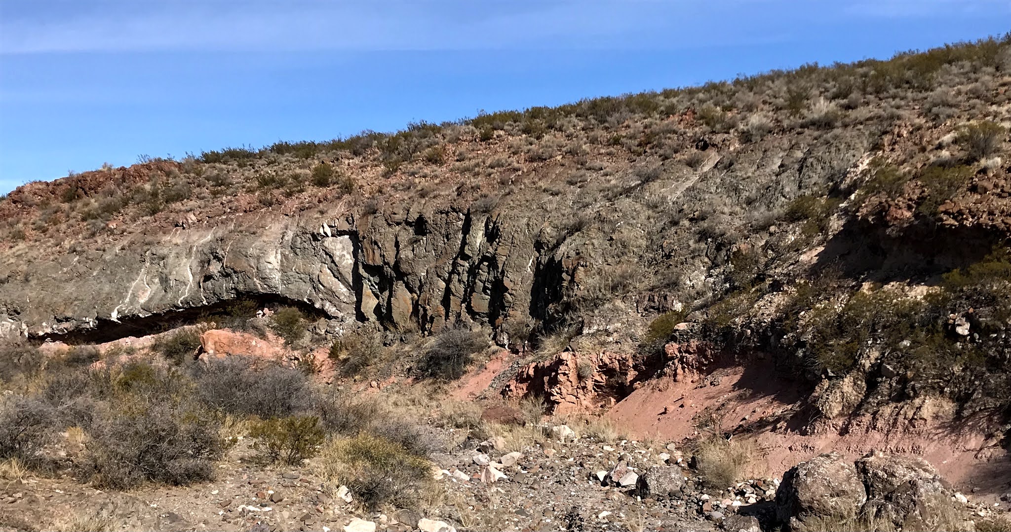
On top of the ridge, the wind was blowing a full gale, and unfortunately getting down on the other side didn't help much, because it was coming from the northeast. I explored the rocks, moving back forth on either side. Flakes of many colors of quartz material from point and tool making were everywhere on top, and eventually I found one nice panel of petroglyphs. The wind was blowing so hard though, I had a hard time staying still while I took my photographs. Beyond there, I found one more on a boulder at one of the many little "passes": open areas that made it easy to traverse through the rocks.

Eventually I made my way down to the flats on the east side, and there in the creosote studded sand were more flakes, and lo and behold, ancient pottery as well. The rocky ridge split into two, and I walked south in a small ravine between, down to a confluence where I turned back  and climbed up a dry cascade of gray bedrock. In the sand back on the west( south) side eventually I was finding more and more cryptocrystalline quartz material, as I  headed towards some boulders I had left out of my initial walk on the ridge. There was even  a partial point.

Debitage

 I revisited the area with pottery, and stone manos we had found last year and somehow managed to lose the cap to one of my steel water bottles as I picnicked in the sand ( two days later I somehow managed to lose an entire steel bottle on another hike). I've grown quite fond of sardines in Louisiana hot sauce, and I thoroughly enjoyed sitting down to a repast where many an ancient soul had done the same perhaps with whatever fish that could be taken from the nearby Rio Grande, and maybe some kind of chile. Who knows

 Brown and gray pottery sherds

Brown ware pottery sherds

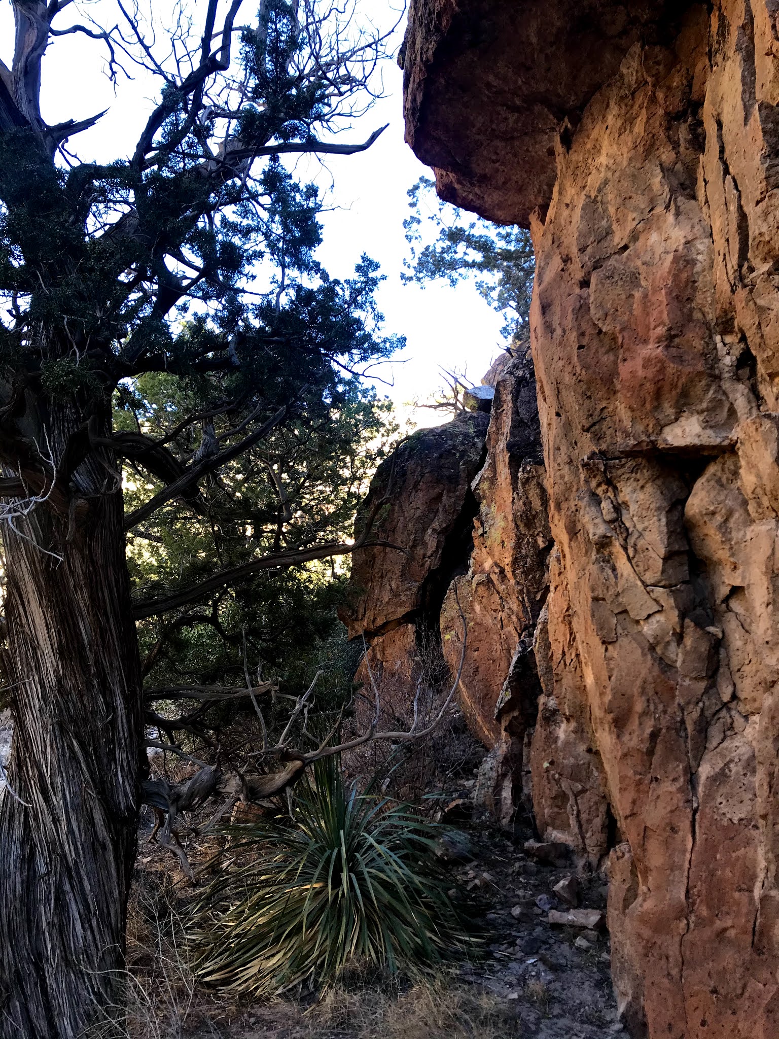
  I found footprints in several places on the mesa, which worried me a bit, but I believe they belonged to hunters, not artifact poachers. I decided to descend to my truck waiting in the arroyo through a  tributary to the very narrow canyon that cuts through the hill of volcanic rock, that we had ascended last year. Got a thorn from a dessiccated  cactus clinging to the rock walls, deep into my index finger for my trouble.


Labels: , , ,

Friday, December 25, 2020

Organ Mountains - Desert Peaks National Monument, Three Hikes - Sleeping Lady Hills, Sierra de las Uvas, Faulkner Canyon


Three outings in the winter sun and wind. Wandering in the fading light for a couple of miles on the north side of Faulkner Canyon. Straight ridges of dark rock caught my eye so I went to have a look. They are andesite dikes that cut through the light colored rhyolitic tuffs and conglomerates.

 Another afternoon I walked out into the lower elevation, northern section of the Sleeping Lady Hills. Following a deeply cut arroyo back to its start and then ascending a ridge, I had thoughts of climbing the small rocky peak, but the wind, which was barely a factor in the valley, was wicked up there.

Found the wreckage of some sort of old rocket/missile/ bomb in the flats, maybe ten minutes of walking from where I parked my truck  on the pipeline road south of Rough and Ready Gap. If anybody out there has a good clue as to what it really is, let me know.

A morning hike was in the north end of Sierra de las Uvas. Initially we ( David and Nancy Soules and myself ) were searching and finding a very random petroglyph on a very random boulder. Then Seamus and I went and explored the upper branches of Spring Canyon. While my friends explored a parallel canyon. Although the environs, with cliffs, alcoves, bedrock, and sandy flats seemed ripe for finding some rock art, grinding mortars or artifacts, none were forthcoming.


After hiking, I did a little scenic driving on the very remote, but decently maintained County Roads BO-5A and BO-5B which can be used to access peak hikes to Sierra Alta and Piña Peak respectively. At the very end of 5B is Alamo Tank. The pump once powered by ever present wind, now uses electricity thanks to a small solar panel and equally abundant sunshine. Only a few scraggly mesquites are there now, but in their branches and in the mud puddle that has formed from spill over of the plastic tub, was a flock of mountain bluebirds. A tiny of moment of pure joy, not marred in the least, by the fact  that I would not be able to get a picture of them (though I tried). NOTE: Alamo Tank is on private property, so it may be advisable park further back on the county road if you are planning on accessing the Uvas Mountains Wilderness and Piña Peak.


Labels: , ,

Sunday, December 20, 2020

Organ Mountains-Desert Peaks National Monument - Candler Canyon ( re-visited )


Much of this hike covers ground I've been over before, back in the Spring of this year and in the Winter of 2014. After finding one very large petroglyph on a boulder in March, I've spent a considerable amount of time, this hike included, searching the many boulders that have tumbled down from the steep escarpment on the west side of Candler Canyon ( or Draw as it becomes known out in the flatlands). No more petroglyphs have turned up. I did find a large boulder, with low walls attached and a shell casing in the dirt beneath, that may have been used as temporary shelter. 

 I

I also found on the benches of the east side a site with many lithic fragments, including what looked like some unfinished arrowheads, of non-local material, plus a few sherds of light colored pottery. I searched for awhile for more artifacts, but in the shadowy, low angle, afternoon winter light,  I realized it wasn't that easy of a task. I will try to get back earlier in the day, hopefully before winter is done, as it would be a shadeless trudge to reach this spot any time after March and before October.

 As I had come so far up the canyon in my search for rock art, I decided to have look at the box section, which lies directly south of the Sierra de las Uvas highpoint,  Magadalena Peak.  

I hadn't been up there in six years, but I decided to have second look, partly just to make sure I hadn't overlooked any petroglyphs but also  because  I had only one photograph of the place. My memory of this defile as being ridiculously rough was pretty much on target. There was one gentle spot in the whole place, where the main streambed makes a big turn to the east, with patch of flat sandy ground beneath some old junipers hard against some low cliffs.  It might've been nice for my picnic, except for it being completely in the shade, not that appealing in winter, and really never worth the effort to get there. I ate my sardines and crackers when I got back to the truck.


Labels: ,