Organ Mountains-Desert Peaks National Monument - Broad Canyon Exploring


I parked at the large gravel area just south of the dam. I've gone under the fence here a couple of times before. It's a little daunting because of all the broken glass and other trash that's accumulated here as it has obviously been a drinking spot for many, many years. It would be nice if there could be a trailhead constructed here with an unlocked gate, that could perhaps service the nearby Slot Canyon and Lower Broad Canyon, so folks won't have to go over or under the fences. I'd be happy to help clean up the trash. For now be careful.
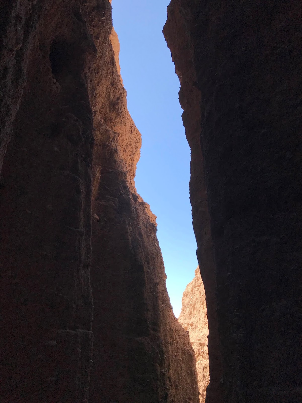
There's almost path here south of the fence along the side of the dam that quickly brought me down to the flats behind the dam. Brown cattle were milling about in the distance as I crunched over the remains of last summer's dried out weeds. I stayed in the shade of the cliffs on the south side of the canyon as I marched upstream. The canyon narrowed to just a few feet wide between red and gray rock. This is the flank of an exhumed cinder cone that erupted during Tertiary times. Immediately afterwards the canyon opens up into wash that features the biggest ox-bow bend in its entire run from the mountains to the river.


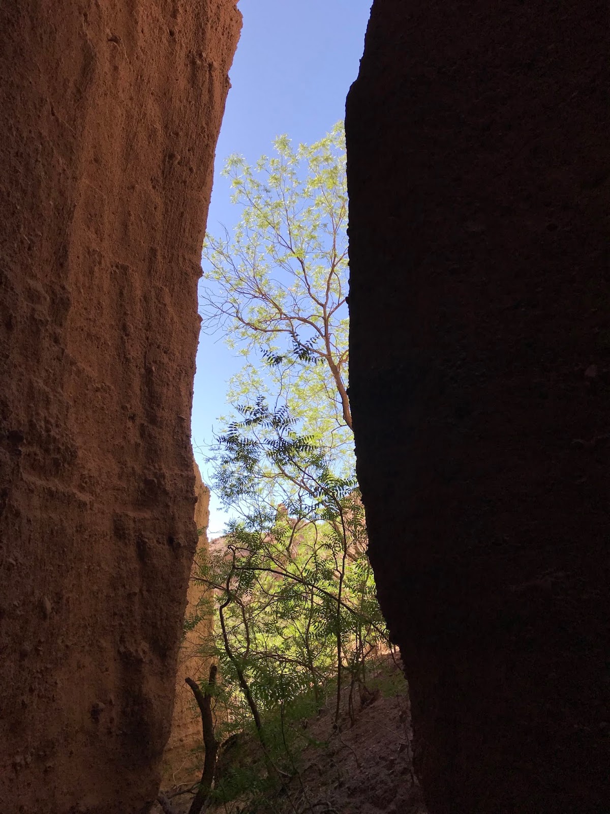
I got a notion to explore the little sandy tributaries that emanate from the heavily eroded conglomerate cliffs on the north side of the big arroyo. I was glad I did. I ended up finding several mini-slot canyons which were a lot of fun. One hid a pour-off a hundred feet high. Another had a large nest high up in an alcove. There were soapberry, juniper and hackberry trees hidden in others. The high-walled sections of each were short: 100 to 200 feet at most, but since there were several to see as I proceeded westward it added up to a really nice slot canyon experience. I recommend it.


After that I realized it was getting a bit too warm to continue much further west in the main canyon. I turned back, exploring an old road that comes down from the mesa on the north side, before re-tracing my steps back to the truck.
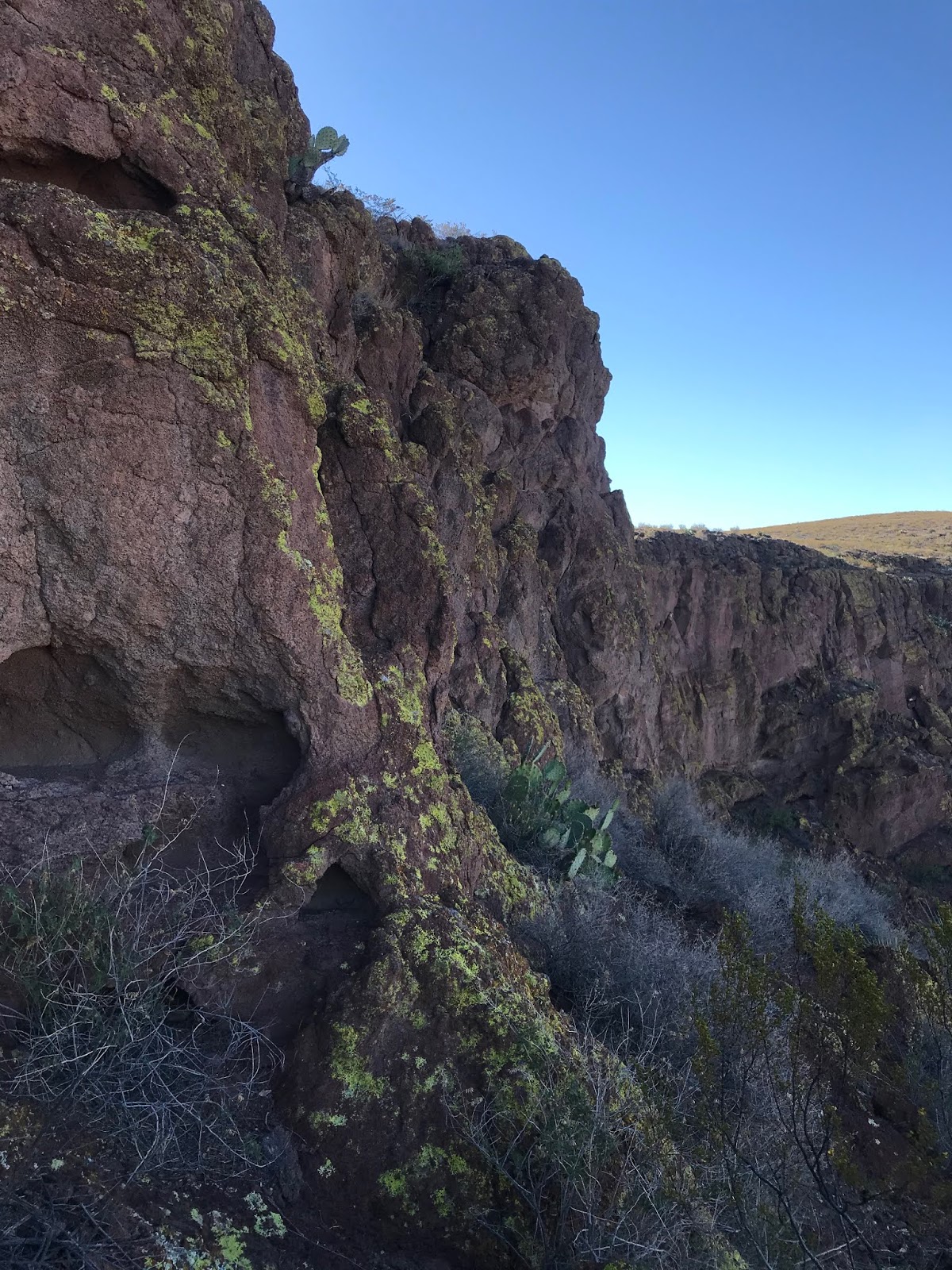
It turns out my friend and I weren't very far from meeting up with each other. They were exploring a large side canyon about a quarter mile to the west of where I ended up. The canyon, which also had an exposed section of the same cinder cone sounded so fascinating, that I decided to go out and explore it myself the following Thursday evening. Once again, I highly recommend this side trip. Huge misshapen boulders, each covered with electric yellow lichen have tumbled down from cliffs over 100 feet high, where a tiny opening indicates an ephemeral waterfall. I moseyed around and down from the mesa above, slipping and sliding on the loose cinders and taking many photos.


It turns out my friend and I weren't very far from meeting up with each other. They were exploring a large side canyon about a quarter mile to the west of where I ended up. The canyon, which also had an exposed section of the same cinder cone sounded so fascinating, that I decided to go out and explore it myself the following Thursday evening. Once again, I highly recommend this side trip. Huge misshapen boulders, each covered with electric yellow lichen have tumbled down from cliffs over 100 feet high, where a tiny opening indicates an ephemeral waterfall. I moseyed around and down from the mesa above, slipping and sliding on the loose cinders and taking many photos.


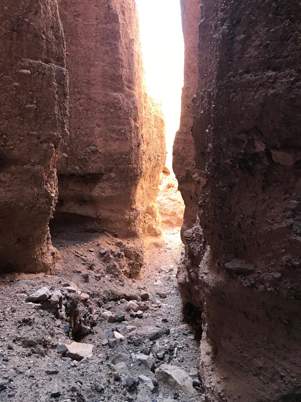
I then went to the opposite side and circled back on top of the cliffs to find the canyon that leads to the waterfall. It has a nice, if short, little box section, reminiscent of Sierro Kemado Canyon just to the north. It ends with tremendous views out the portal on the precipice of the falls. I then hoofed it back to my Tacoma along the way taking notice of the huge chunks of white, gray and blue Uvas agate that stood out against the deep brown cobbles of the mesa top.


The next day, I went with David who was leading a hike sponsored by NMWild. There were 13 people to begin with, as we parked and then walked up the road that goes up on the dam. Early on, David found 3 grinding mortars in bedrock along the side of the canyon. We then moved westward, rested in the shade, and then explored a couple of the mini-slots I had discovered the week before. A few people headed back, but the rest headed on to see the petroglyph panels further up canyon. Most had never seen them before and were very pleased to have come the rest of the way.


On the return trip, I heard the rattle and then saw the tail of banded rock rattlesnake disappear in the bushes. It was after the noon hour, and the sun was quite hot on my neck in the shadeless terrain. I wrapped my white shirt around my head and wondered which movie star did I put in mind, Peter O'Toole in Lawrence of Arabia, or Chevy Chase in Vacation?
Labels: hiking, Organ Mountains/Desert Peaks National Monument
posted by Devon Fletcher at
2:54 PM
2 Comments
![]()
![]()


