Wednesday, March 31, 2021

Organ Mountains-Desert Peaks National Monument - Bignell Arroyo Oxbows


If you enjoy hiking cross country on moderately rough, monotonous terrain to a destination that probably isn't worth the trouble, then this is the hike for you. Did I mention all the up and down?

 I had spied the shadows of the oxbows of Bignell Arroyo on Google Earth many years ago. I had also seen some photos in a Geological Circular, but had avoided going out there for a look-see until last week. One reason was because there just isn't any good way to get there without crossing private property, which I wasn't going to do. Another was, friends David and Nancy had told me they had been out there and there wasn't much to report. Last,  because my many experiences in practically every nearby named arroyo had not been pinnacles of excitement, I have not been motivated to hike the last remaining few that were un-visited.

 But, I was bored and I wanted to get out of the house at least one more time before my spring break was over. So off I went, thinking in my mind this would sort of be like the short jaunt I took to see the scenic Fox Cliffs last month. It wasn't. Short or all that scenic, that is.

 The tall walls with their geologic layers were nice, as were the wacky conglomerate boulders that had tumbled down from the upper shelf.

 I heard  a few small rocks click-clack down to the growing pile of gravel at the base that reminded me that this is actively changing landform.  I  was also reminded ( once again ) while looking at a row of bare desert willows along the sandy streambed,  that the desert is soooo dry this spring. It still has the dead look of winter, which is a vivid contrast to the landscapes I encountered last March  green and awash with wildflowers.

 A few lizards scampered about, and I watched  crows go aloft from the cliffs to glide on the breezes. They talked, and I listened. The once sunny afternoon grew windy and overcast as I used a few cow trails on my way back. Along the way I found a corner marker placed by US Land Office survey, and a cross of white on the ground, which I found  out later is place at what is called a graticule intersection on topo maps. Don't ask me what a graticule intersection is because reading about it made my head hurt.


Labels: ,

Friday, March 26, 2021

San Miguel Lava Flow


I've know about the petroglyph site at the Santo Tomas lava flow since 1999 when the Las Cruces Sun-News put out a special oversized magazine "Celebrating 150 Years of Las Cruces History." It contained reprinted articles by Herbert Yeo, engineer and archaeologist (  a so called "amateur" one, but I dislike that distinction in this case because of careful and thoughtful way Yeo pursued his avocation) who wrote about his finds in the 1940's and 50's.

 I've toyed within the last year or so at having a look at the site, which Yeo meticulously documented, even venturing out there  last year and walking a very small part of the perimeter of the flow. Unfortunately there are several problems with accessing the site, First, the gate  on what is a county road is now locked at the entrance to the old cinder quarry ( which is on State Land Trust property). Perhaps people ended up driving onto the private property of Stahmann's pecan orchard ( as I did inadvertently the first time I came out to the area) too frequently? This means a mile and half walk through the unattractive mine area to even get near to some of the petroglyphs. Second, while the most of glyphs are on the blocky boulders on the steep slopes of the flow and technically on either state, BLM or City of Las Cruces property, it seems a sure way to get some unfriendly attention from the private property owners at the bottom, never mind the difficulty in climbing down to locate the already difficult to see  glyphs which would mostly pointed away from viewing from the top.

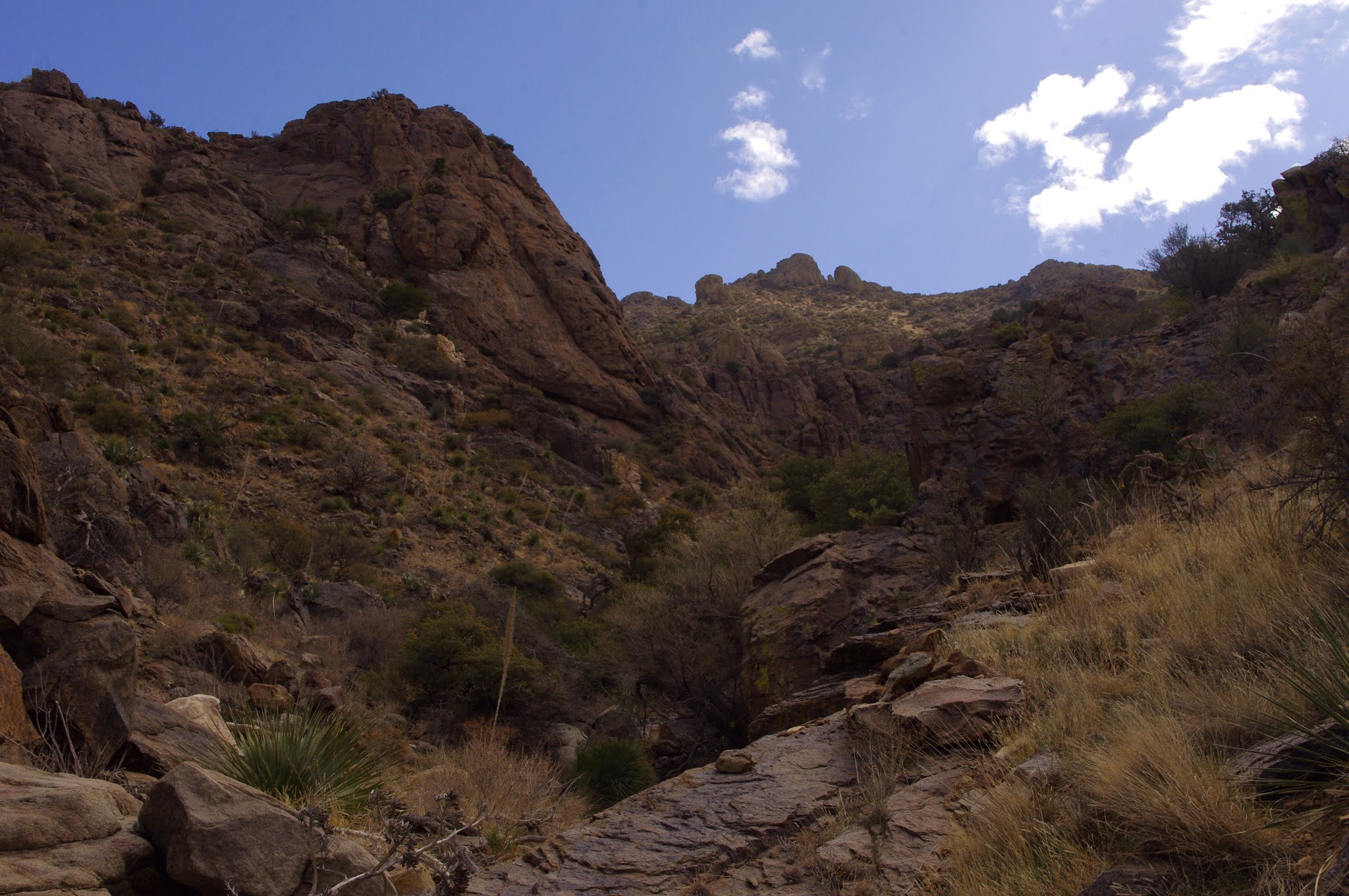
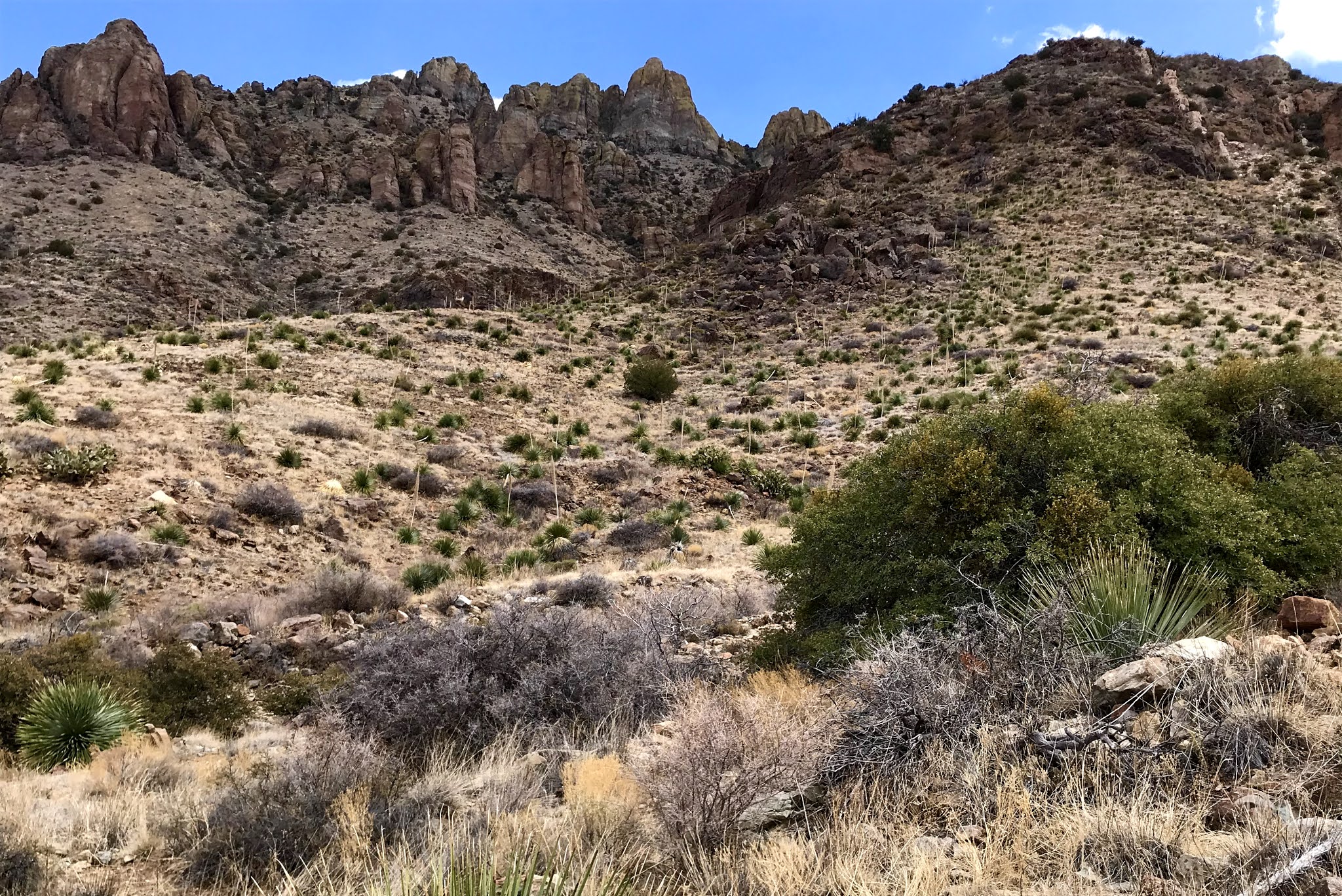
 I had another idea. Less that two miles to the south is another lava flow, which I later learned is called the San Miguel or "Finger" Flow, entirely on accessible BLM land. It's  about 2 miles long, but very narrow, only few hundred feet wide for most of its length, which is quite a contrast to the wide spreading Santo Tomas flow which has a perimeter of 7.5 miles. The San Miguel Flow's perimeter is less than half that, which makes examining it manageable in a single outing. Not that I knew there was anything there to see, other than lava. I was just going on, as they used say " a hunch," based on its proximity to the known site.

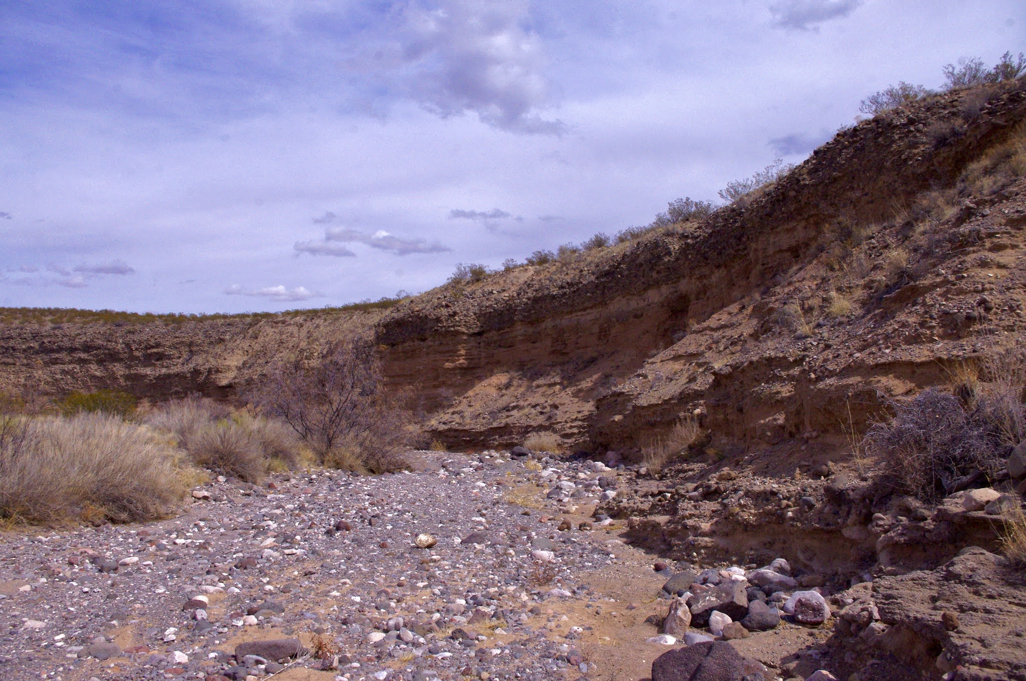
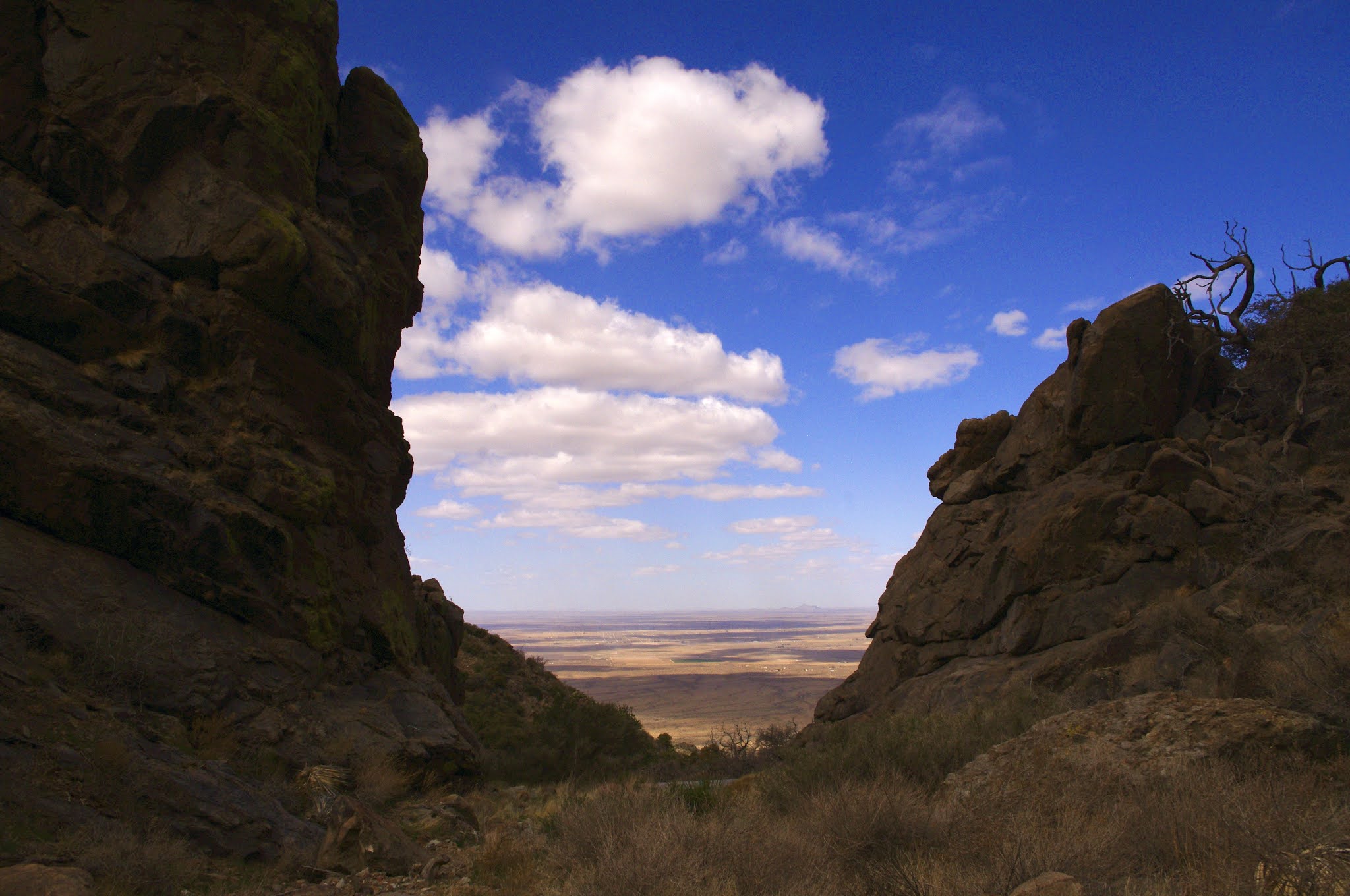
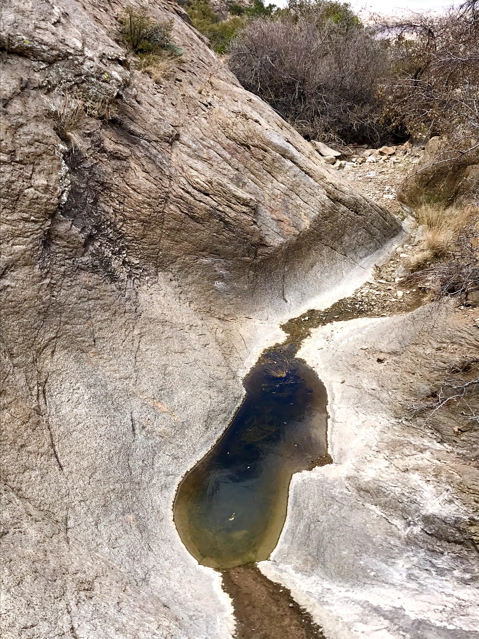
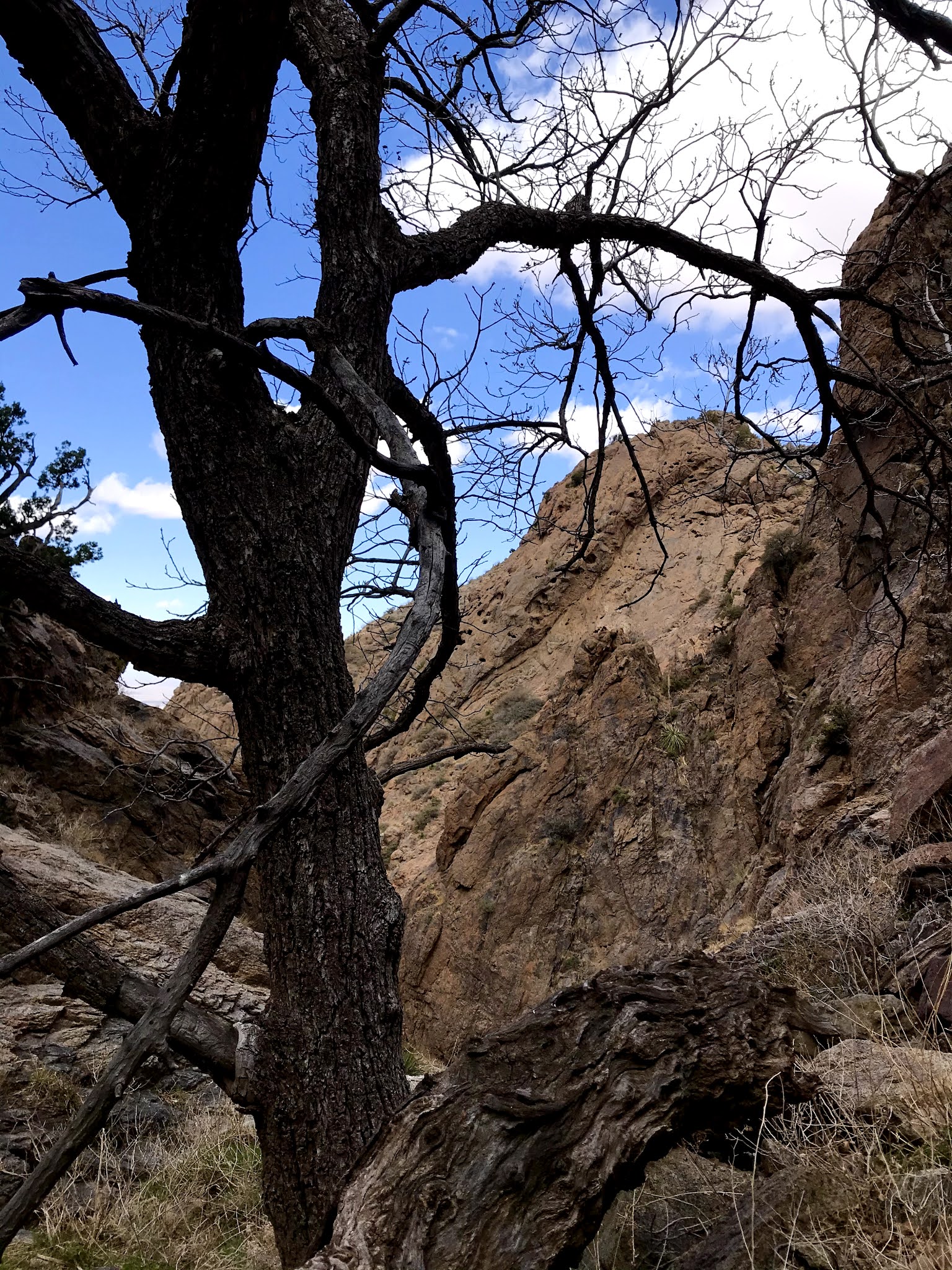
 Off I went on Tuesday morning, with friends David and Nancy Soules  along. After parking, we marched across the sandy mesa, with the flow, which sits below it, invisible to us, but with the small volcanic cone it  erupted from ( now completely covered by sand and shrubs) on our right. Soon we were in the arroyo on the north side that runs along the blocks of gray, red and black rock that define the 30-50 foot high  slopes of the flow. 

There were many good surfaces that we examined but found nothing in the way of rock art. We did find several piles of vintage metal and glass junk: old  rusty bikes, trikes, car parts, and pipe mixed with Ovaltine jars,  soup and beer cans, and soda bottles. It's strange how finding old trash (none of it seemed more recent than the 1960's )  just dumped in the desert is interesting, whereas if it were from the last year, it would be horrifying. Perhaps the only difference between trash and an artifact or between graffiti and rock art is time.

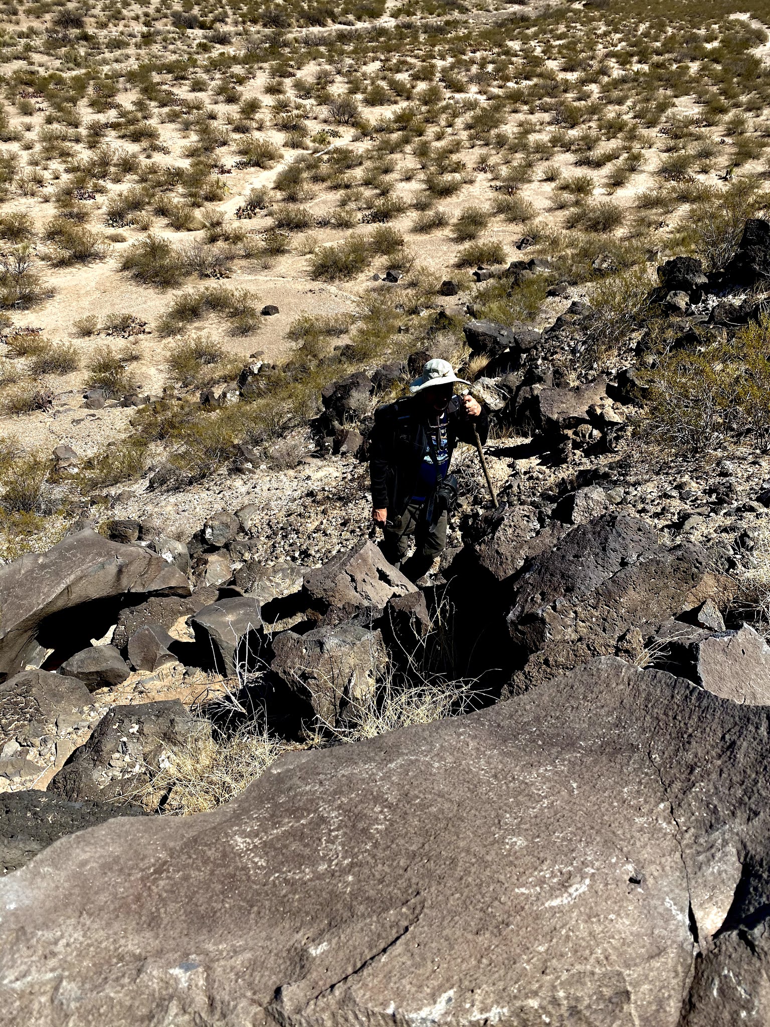
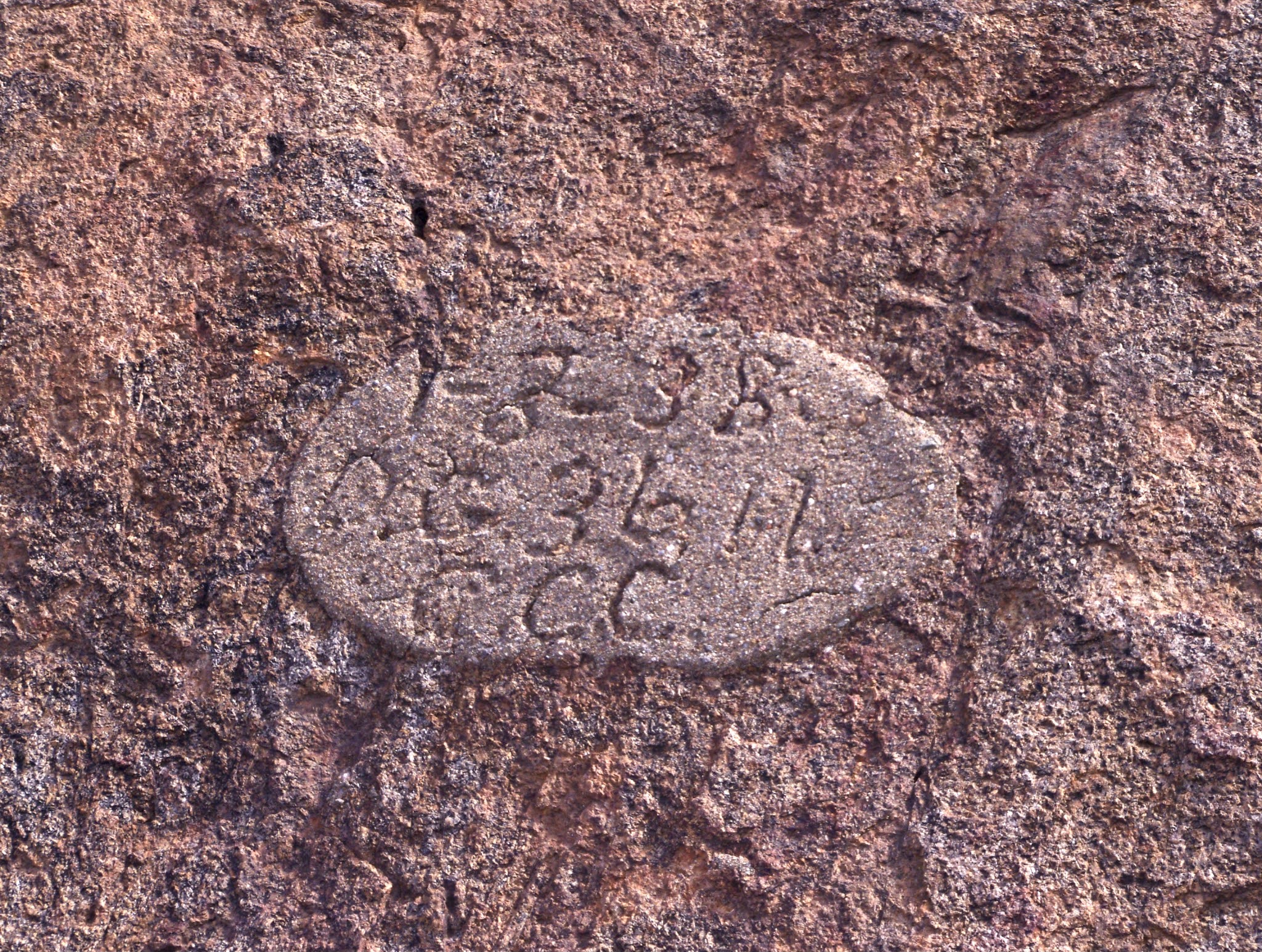
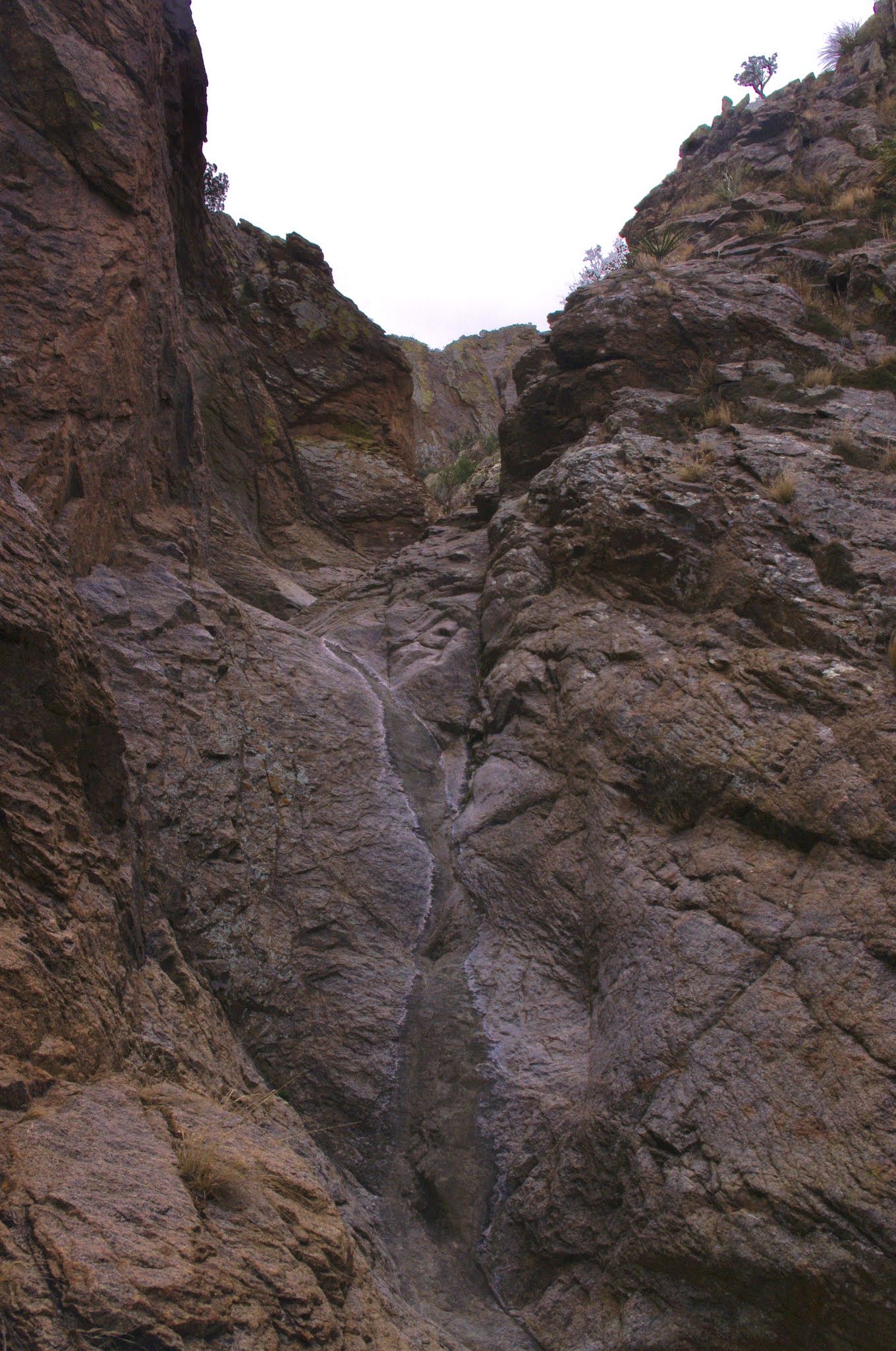
 Well, we were pretty much to the point of giving up, with the hiking in the sand having me wondering when were we going to get to the narrow point  that is the end of  flow,  when . . . David saw something, and then nearby, another something and we knew we were into the petroglyphs which I hoped would be there. Some were faint, some indistinct, and some repatinated, but others were clear  and bold. We moved up and down, awkwardly climbing in, out and around the boulders looking for more and finding more.

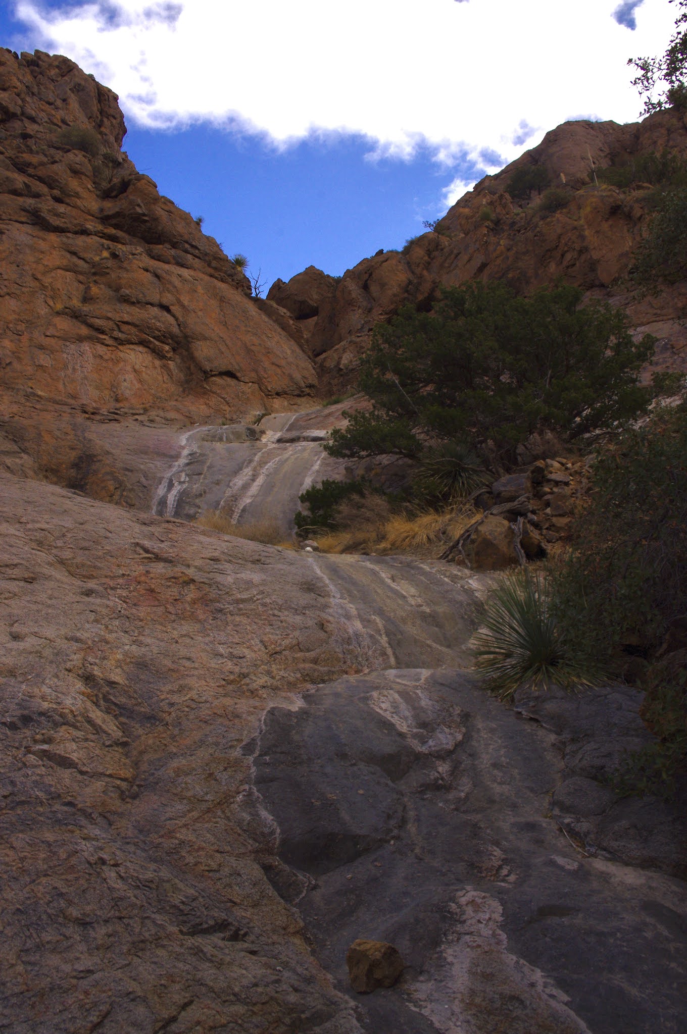
Eventually I circled the around and climbed the road, which is no longer navigable to vehicles, to the top and then I moved on the south side, where almost immediately more images , strange, and most, unlike the other art I've seen around our region began to appear. From then on it was gazing and climbing, getting scratched by mesquite and banging/scraping my ankles on the rock to find more. Only a few were down at the level of the arroyo. 

Some glyphs had been lightly scratched, and there was one set of perfectly pecked initials, but otherwise the site was remarkably untouched given its nearness to civilization ( only a little over a mile to the village of San Miguel). 

The day had warmed considerably, but the wind had never been problem. I went up on top to walk back while Nancy and David continued along in the arroyo on the south side. I contemplated the weird "avenue" that had been cleared at some undetermined time in past. I won't bore you the many theories we've come up with as to its purpose or age, but if anyone out there knows, please clue us in. 

I rousted a coyote who trotted off through the creosote to the north.  I was finally tired and the walk back to vehicle began to feel like trudge as I tried to keep my speed up. The roundtrip distance clocked in at over 6.5 miles, most, except the bits on top, in the loose sand.

 It's always fun to find a site on speculation, and I've had very good luck over this past year. This site, though, was known ( given the dump sites and scratching) as are almost all of them, it just may have been needing to be rediscovered.

This was the last time I saw David Soules. He was very happy to be " discovering" this site with me. He died three days later.


Labels: , , ,

Wednesday, March 24, 2021

Florida Mountains - Florida Mountains Wilderness Study Area


Last March, I did  three visits to both the Floridas and the Little Floridas, so I decided, after mulling ideas about the Black Range or the San Mateos, to stick a little closer to home and  go back out there again. This time, I had  my sights set on the west side of the Floridas, which  I have never hiked, and which I haven't even laid eyes on in several years. I had worked out the driving, many months earlier, and it all held true. The road of the final leg, even as it ascended the bajada, was pretty good, and only I needed to shift into four wheel drive after coming out of the first big arroyo crossing. 

As it turns out,  as is frequently the case, I could've driven farther than I did, in fact all the way up to an old miner's shack at 5400 feet, but I don't like to push my luck and the possibility of getting stuck or other vehicle problems when I'm alone in remote areas. That decision cost me several hundred feet of elevation gain, but with the hike being so short, it wasn't that big of a deal.

 There I was trudging up along a fence line, breathing heavy and hoping the forecast dust storm could hold off until I was back in Las Cruces. I contemplated Capitol Dome and the myriad of towers along the ridge just to south as I went.  A  couple mines, a dry cascade were up in the foot hills above me. Once arriving at a gate, which I  went through the strands of barbed wire, rather that deal with the maniacal twisting of wire that held it closed. I headed cross- country toward my planned destination: the steep-walled, un-named canyon directly below Florida Peak.

At times I picked up a wildlife trail, which aided my ascent. I could see that the summit tower of south Florida Peak has its own natural arch on the south side ( if you're someone who's been up there, confirm or correct this notion) The wind was blowing steady in the 20's I guess, with much stronger gusts, but I continued on. I finally reached a CCC constructed concrete and stone water trough, and then  a short ways further upstream, a dam with water trickling onto the bare bedrock from pipe at the bottom. The original concrete channel, and the latter day hoses used to divert water were no longer functional.

I climbed above the dam, into the area behind, which had completely filled, of course. How many years after its construction circa 1935, I don't know. The walking, with and without the wildlife trail, was much easier than I had experienced when visiting the uppermost reaches of Lobo Draw ( above the Atir Mine buildings) last year, so that shortly, after going around a few big junipers and live oaks, I was at the base of the left hand waterfall. The  visible four  falls or cascades  were each around 15-20 feet high and smooth, with white staining on the gray rock. They were also bone dry. Not a big surprise, given the dry winter and spring we have had.

 Above them, the canyon appeared to zig-zag through the red rock pock marked with small caves and alcoves. There were probably more drops to see, so I climbed up the first level easily enough, but it availed me no greater view into the secrets above. Climbing any further was not really an option, as I would be stopped at the very next level by an extremely steep and narrow chute. I carefully descended to try my luck over at the right hand branch.

I reached the base of this second falls, after some mild bushwhacking, which had only the thinnest veneer of water on the rock. That in itself was a little miracle. I decided to  climb up, avoiding the water which would've given treacherous lubrication to my boots while trying to traverse this slick rock. I knew I would be scooting down on my rear on the way back, but that was okay, as I crossed the stream and made it to a flat area with a very old and large ( for the Floridas) deciduous tree ( probably a soapberry). In front of me  was a fairly straight( and dry) drop of more than 15 feet, with enough bumps and lumps to perhaps be climbable but not when hiking solo as I was. It appeared that beyond  and above were several more like it.

 I  carefully got back down to the base without getting my boots or my butt wet. I continued now quickly out of the canyon, as the wind, which had never subsided even while back at the falls, began to wear on me as I contemplated fantasies of vehicle malfunctions that would leave me stranded.

 I did deviate slightly when I caught a glimpse of the ruins of the old miner's shack, which people, perhaps hunters, still use as a shelter of sorts with old metal car body parts strung as a roof between the soon to crumble walls of stone with wood framing. I took in the views to the immediate south of Baldy Peak and various ridges and other towers and then further to South Peak

From there  I walked entirely on the road back to my vehicle,  gusts of wind whipping my ears sore, as I gazed into the distance at the rising dust from the farm fields that surround Deming.

Labels: , , , , ,