Florida Mountains Wilderness Study Area - Florida Mountains
 |
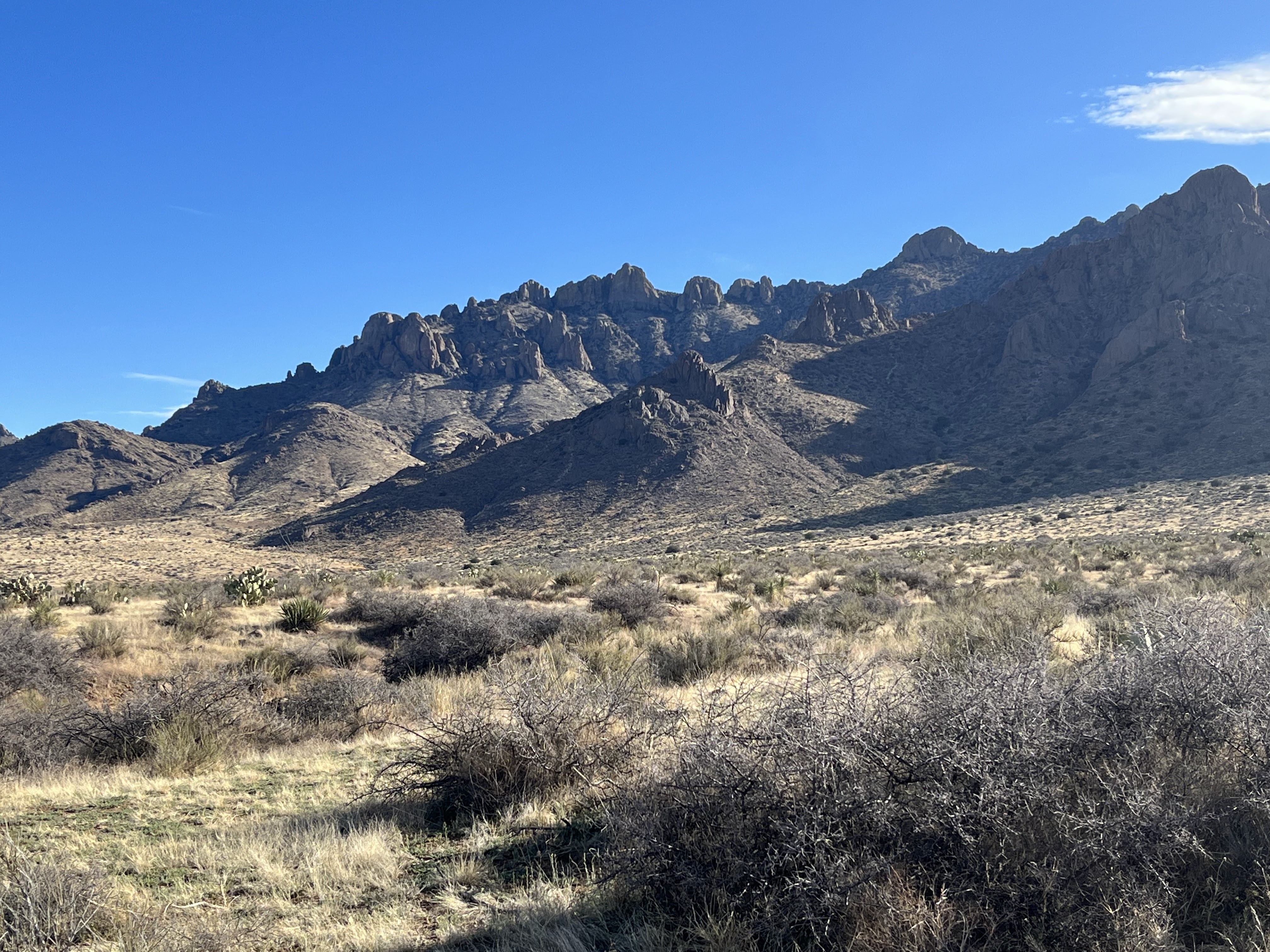
| Florida Mountains |

 |
| oak tree |


 |
| Letter "H" formed by contrails |

 |
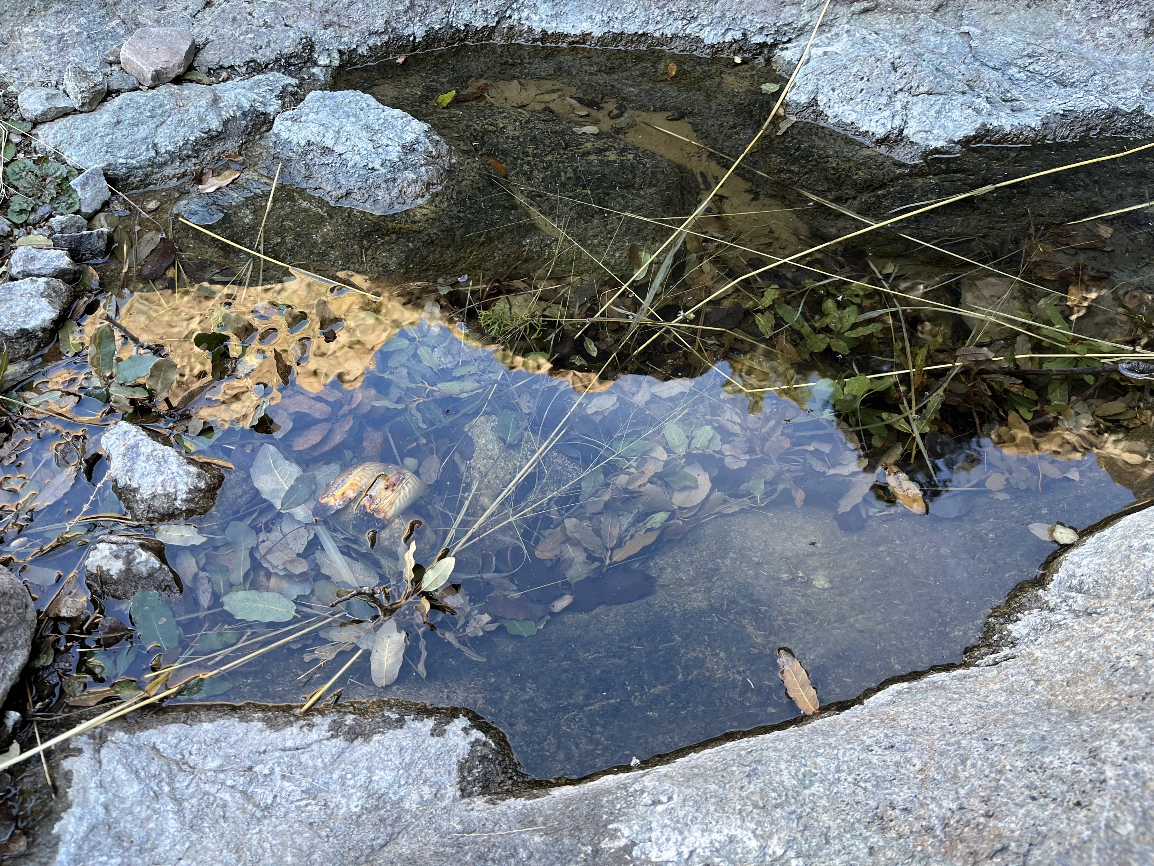
| A "sometimes" spring |


 |
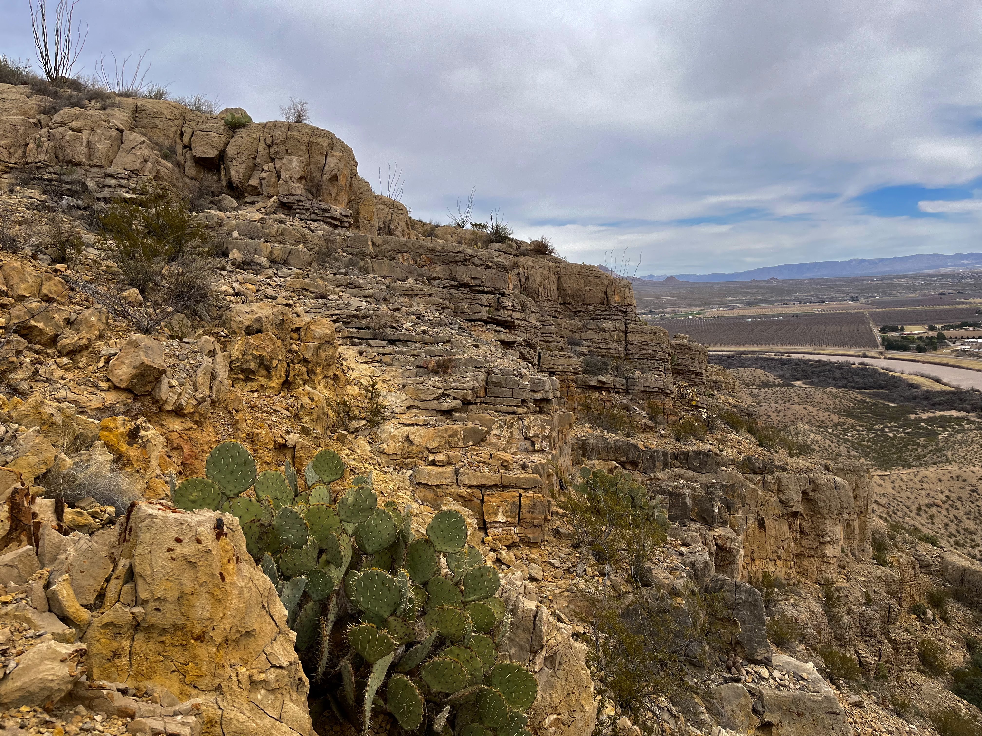
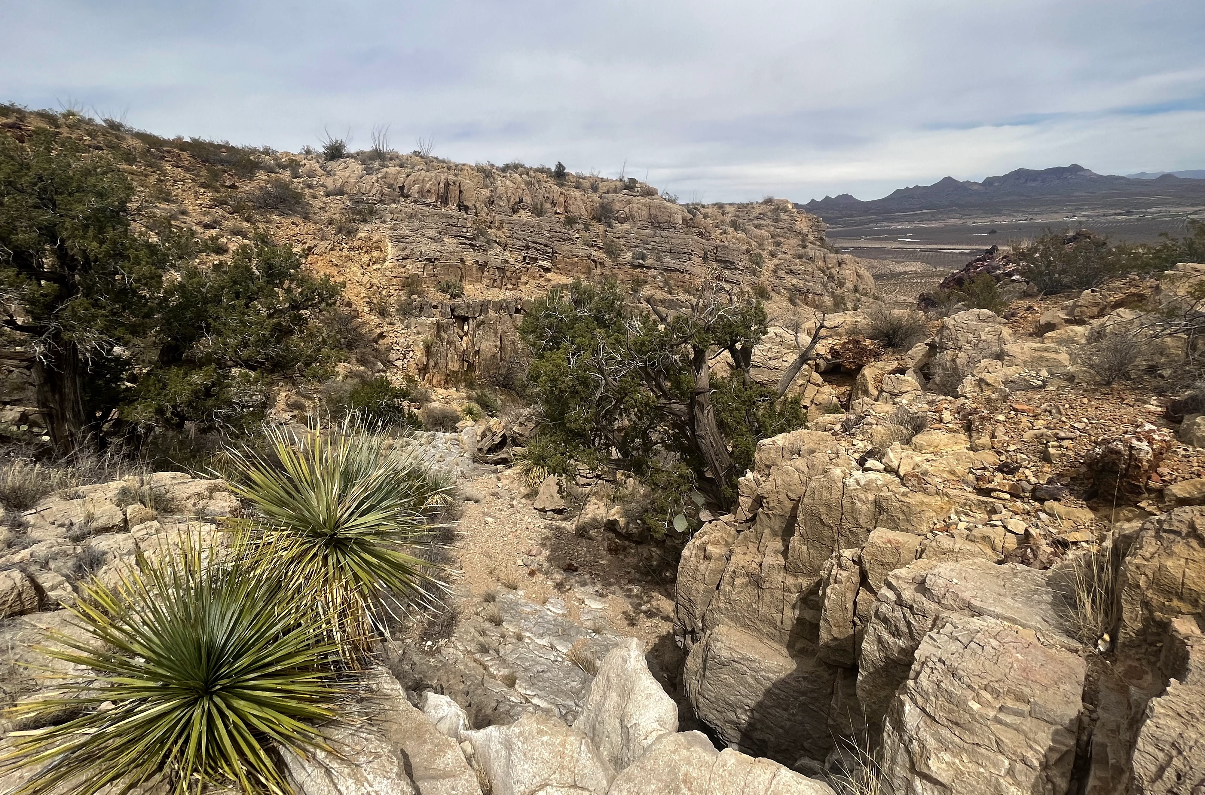
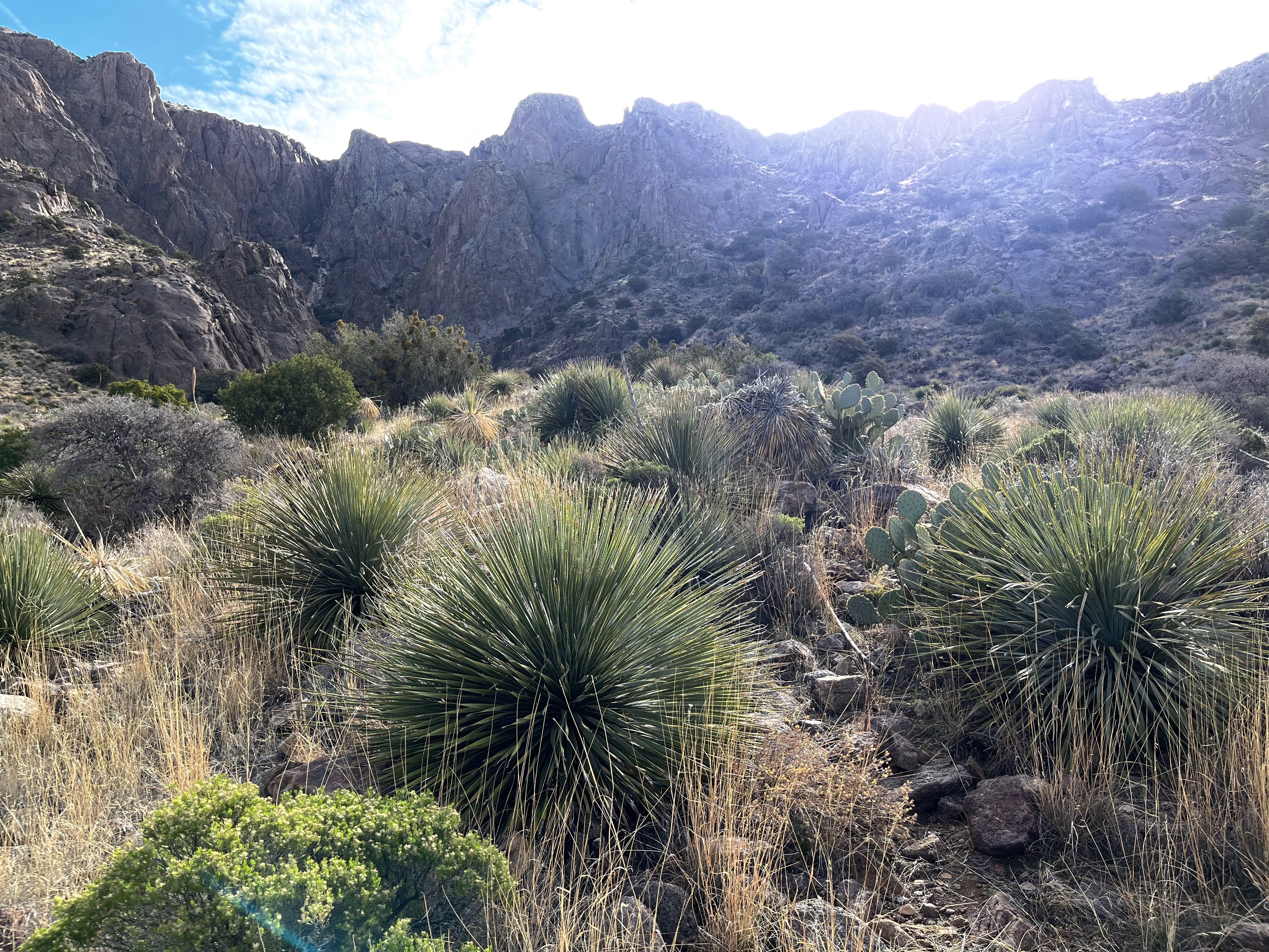
| Looking down the canyon |
 |
| Nettle and wildflowers |
 |
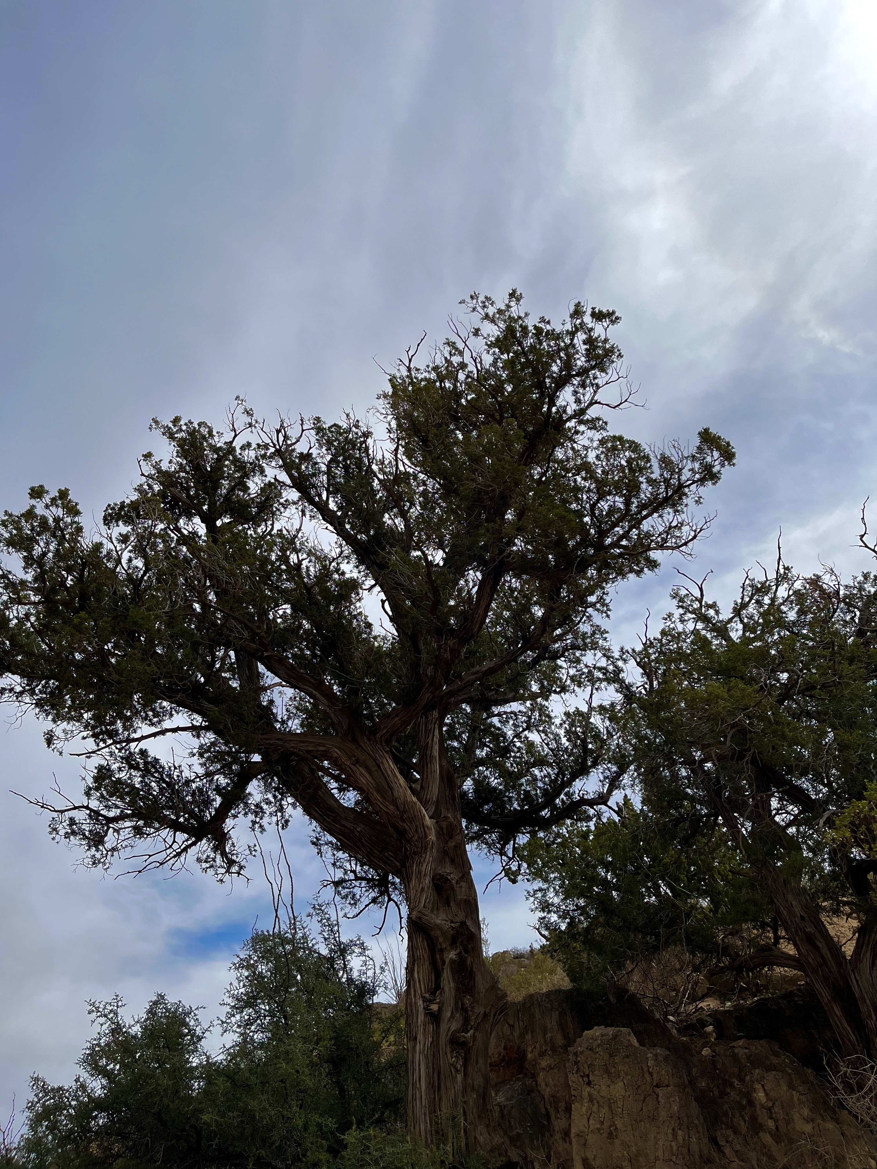
| ash tree |


 |
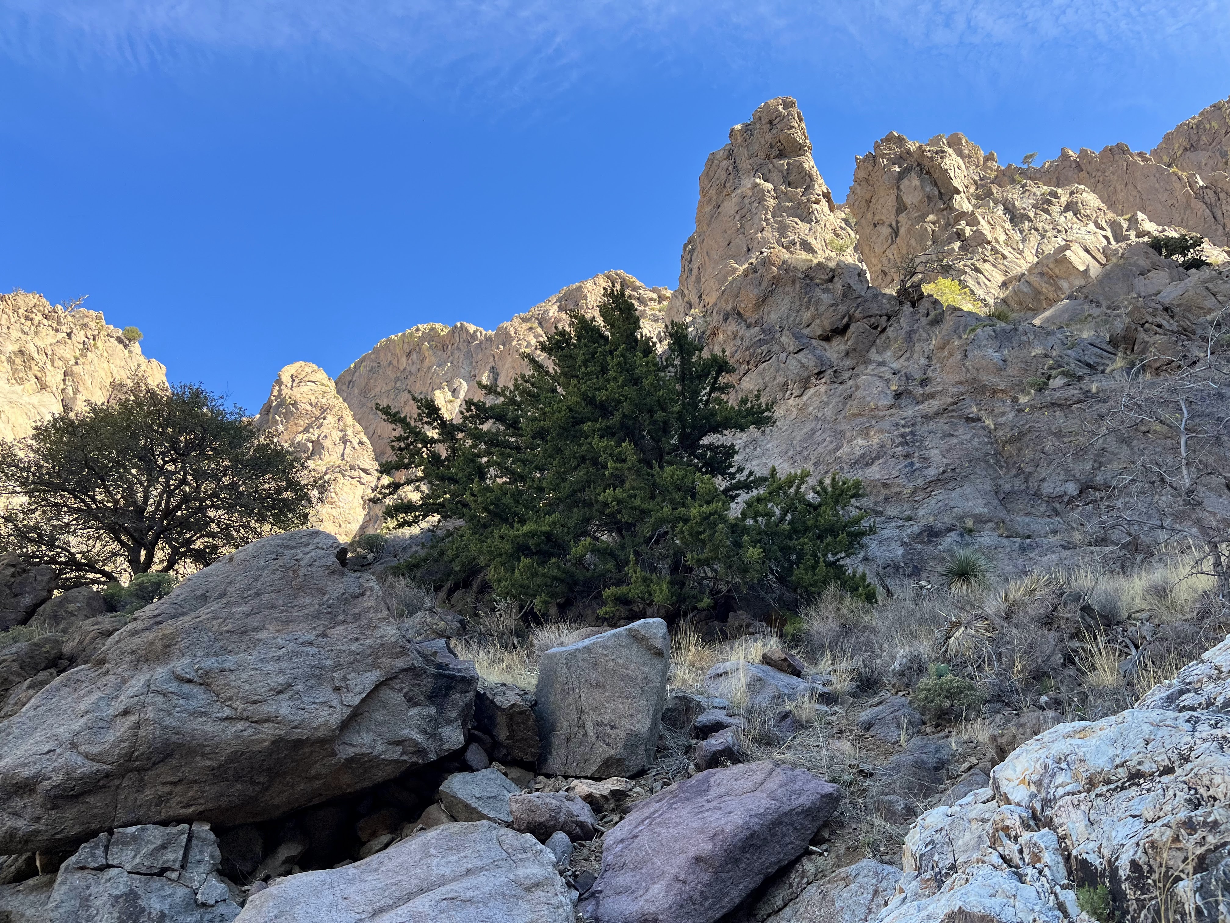
| middle branch |

 |
| There were a few poppies |
 |
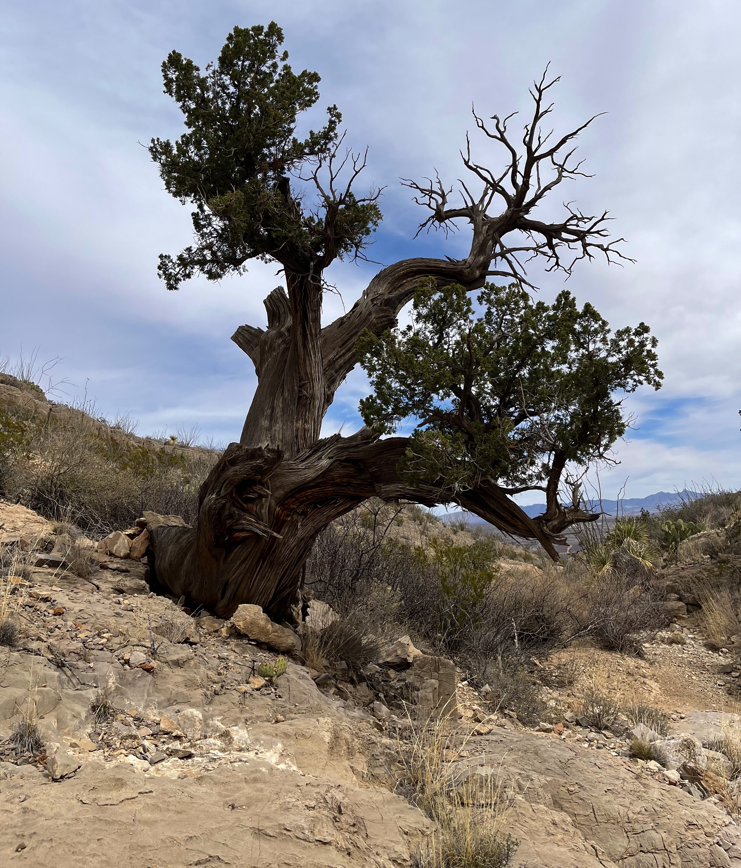
| Huge, overgrown mountain mahogany |


 |
| mistletoe on juniper |


I hiked into another nameless "canyon" that penetrates the steep western face of the main Floridas. I hesitate to use the word canyon because of the very brief and steep nature of these defiles. It was a similar excursion I took on my spring break two years ago to a similar canyon just to the north. They are both grand places and I would be hard pressed to recommend one over the other, except that the more recent one had a much more direct approach and was less time consuming,
There might be a bit of confusion at the starting point of the hike. Where Luna County Road B0-16 ends and a primitive road begins is actually the beginning of the wilderness study area, and a faded, much abused sign indicates that. Still, it looks like the road gets regular use. Be forewarned if you try to drive it, as it is obviously prone to deep rutting and washed out crossings of the gullies it crosses.


Hiking this road to its very end brought me to a fence to cross, and then I continued southwest toward the tree lined arroyo emerging from the walls and towers of bare, solid rock. Once arrived at the arroyo, I began a more or less continuous scramble through boulders and dense vegetation, sometimes in the dry stream course itself, and sometimes along islands and benches in and beside its path. Along the way were ash trees beginning to bud, contorted oaks and piñons, and trickles and puddles of precious water on the smoothed gray bedrock.


I investigated a large waterfall system on my right, which was mostly, but not entirely dry, before returning to the center branch with its own waterfall system cut in a brilliant seam of white rock that extended all the way back to the pointed peaks themselves. I did a slightly dicey maneuver to get a look at the upper end of the left hand tributary, where water emerged from beneath some boulders. The direct route over which loomed a substantial oak, would've required some outright climbing that looked a little more tricky than I wanted to deal with when I'm hiking alone. After that I was basically done. I carefully made my back down to the middle branch where I could see a black stain on the white rock higher up. I couldn't hear water flowing, but it may have been wet.


I was awestruck once again by the seemingly outsized payoff for the fairly minimal investment of time and muscle to immerse myself in these mountains, rather than just admiring from them from afar.
posted by Devon Fletcher at
4:57 PM
1 Comments
![]()
![]()