Selden Hills- Four More Canyons and Corn Cave


 |
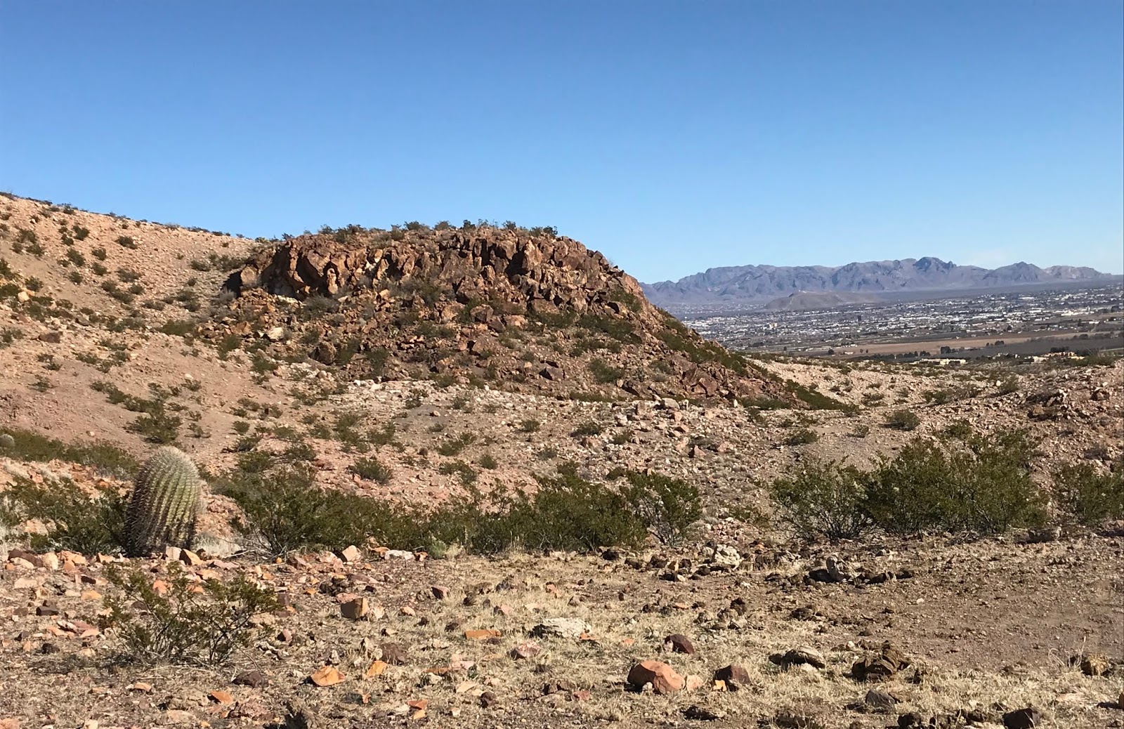
| Corn Cave is slightly right and above dead center of this photo |


At this point I've been in and out, and more often exploring significant portions of, the dozen or so canyons of size (plus a few smaller ones) that flow to the Rio Grande through the Selden Hills. Most run about a mile long or so with the only two named canyons, Lytten and Buckle Bar running a mile and a half and two miles respectively. I've found petroglyphs in several sites in three different canyons, and also two pottery sites close to the river, so finding more of the same has been my main motivator for continuing my investigations, but now I think I've pretty much covered all the ground I want to cover out here.
This trip ran about 7 miles, and I was really moving to get to all the spots I wanted to see: the four bigger canyons southeast of Buckle Bar and just northwest of the two I hiked in about a month ago. I crossed the river at Buckle Bar where there are some convenient rocks for hopping across and then headed downstream along the railroad tracks. I was little put off at the amount of trash left behind whenever there has been some work project on the tracks. How hard would it be to have a bag for collecting garbage? Perhaps worse still, I've noticed that the railroad just pushed old rails off into the brush, and removed ties are just left to rot in piles.
I eventually climbed up a hill and then down into my first boulder strewn canyon.
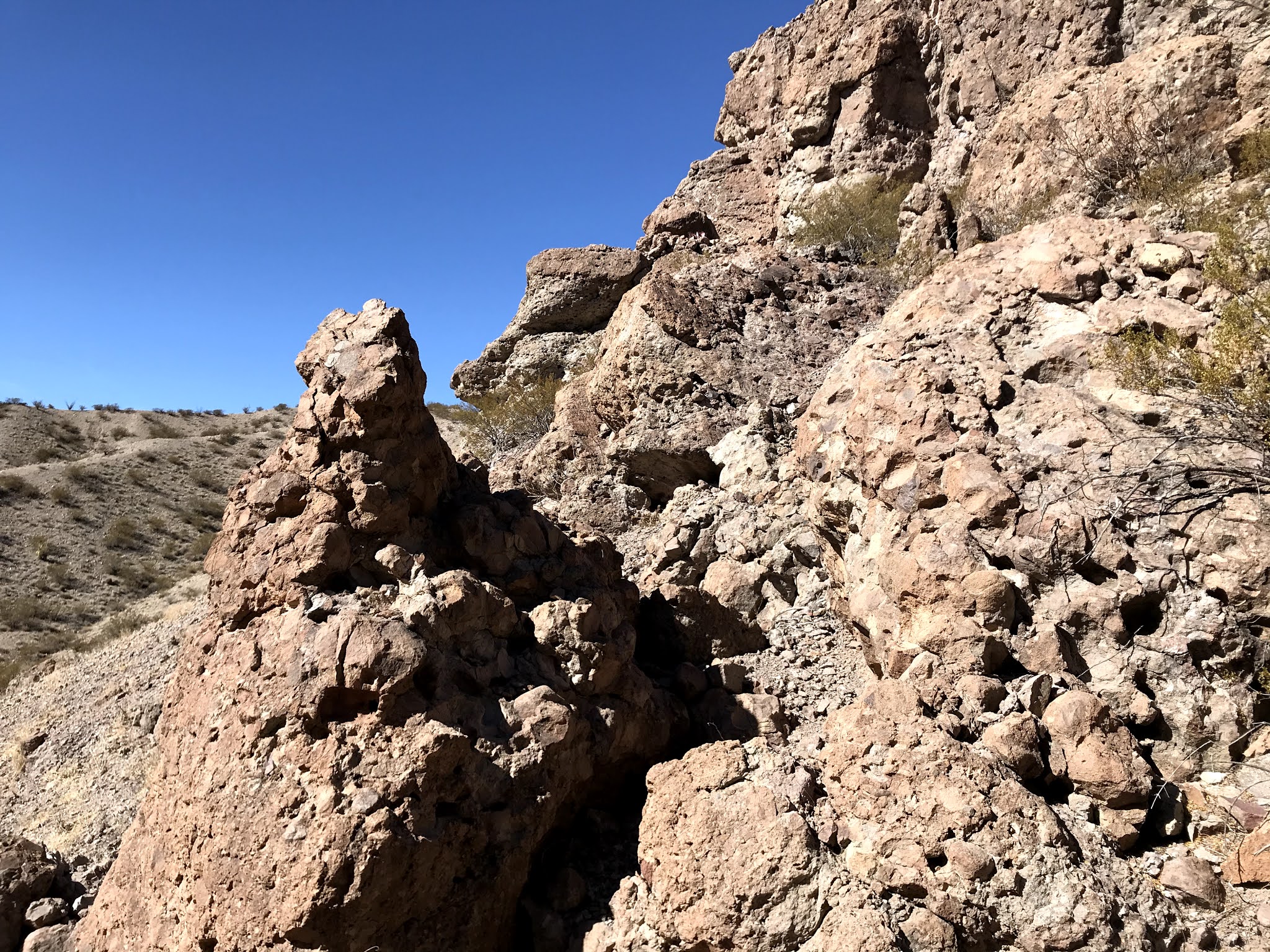
Then it was up onto a bluff and down into a much larger canyon. Next was very narrow a little wonder that got a little slotty for a short section, after which I climbed out onto a ridge, and realized I still had two more small canyons and ridges to cross before reaching my destination canyon.
Happily, it was the most scenic and even boasted a cave big enough shelter several humans, or given the deer parts that lay in the dirt, one hungry mountain lion. There was some rusty cans (one still sitting upright) perhaps just as they were left for however many years it takes metal cans to rust in the shelter of a cave in the desert.
 |
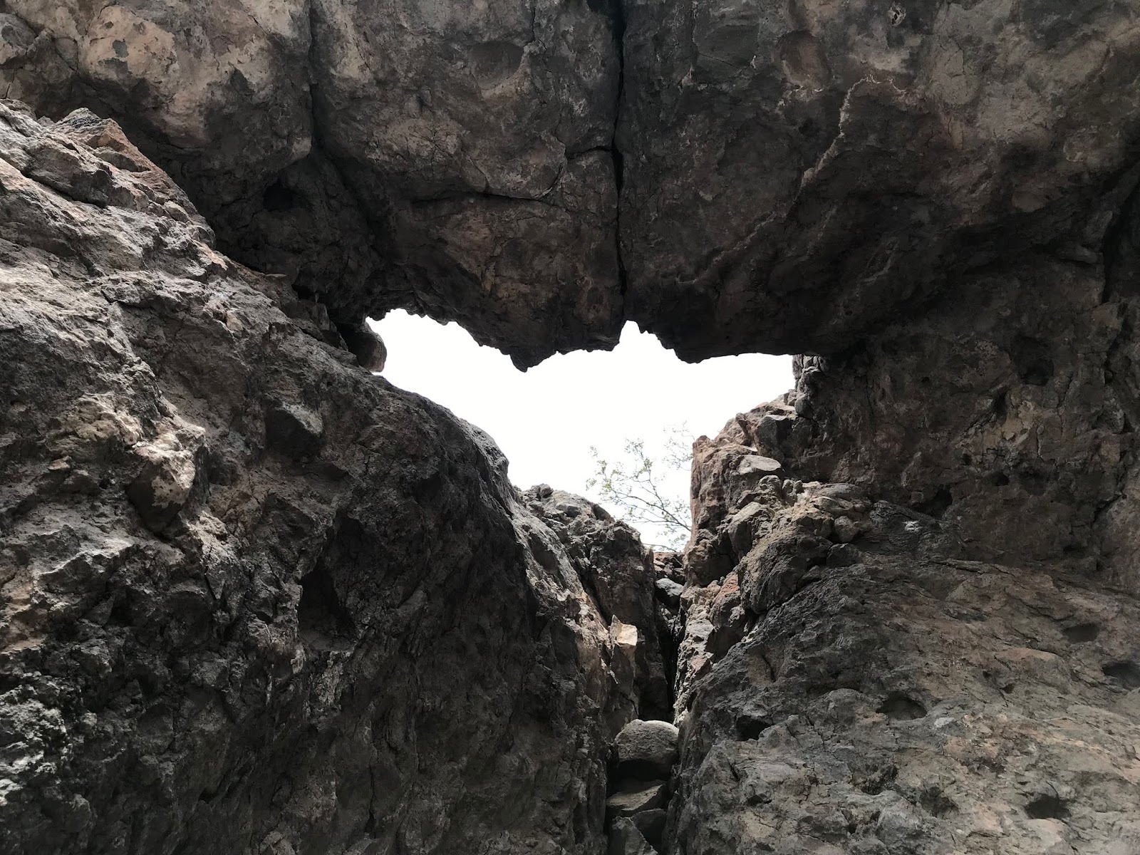
| Corn Cave |
 |
| 20th century trash |
The loose dirt and the predator scat were thick on the floor of the cave, but above it boasted an odd "moonroof " arch at its opening. UPDATE: 1/31/21 Escaping my notice somehow two years ago were two pictographs on the arch itself. We also found pottery sherds, lithic debitage (which I overlooked as well) and recent litter that wasn't there in 2019 on this later trip.
 |
| Large pottery sherd |


 |
| Pictographs in red |

Before leaving I noticed a corncob that had been dredged up and I pondered the several different stories of how and when it might have arrived at its present location.
You can do the same if you want.

Note: this hike was almost entirely on NMSU's Chihuahuan Desert Rangeland Research Center, where entry without permission may be considered trespassing.
Labels: hiking
posted by Devon Fletcher at
7:43 PM
0 Comments
![]()
![]()