|
| Second tower |
 |
| Wilderness Study Area sign |
 |
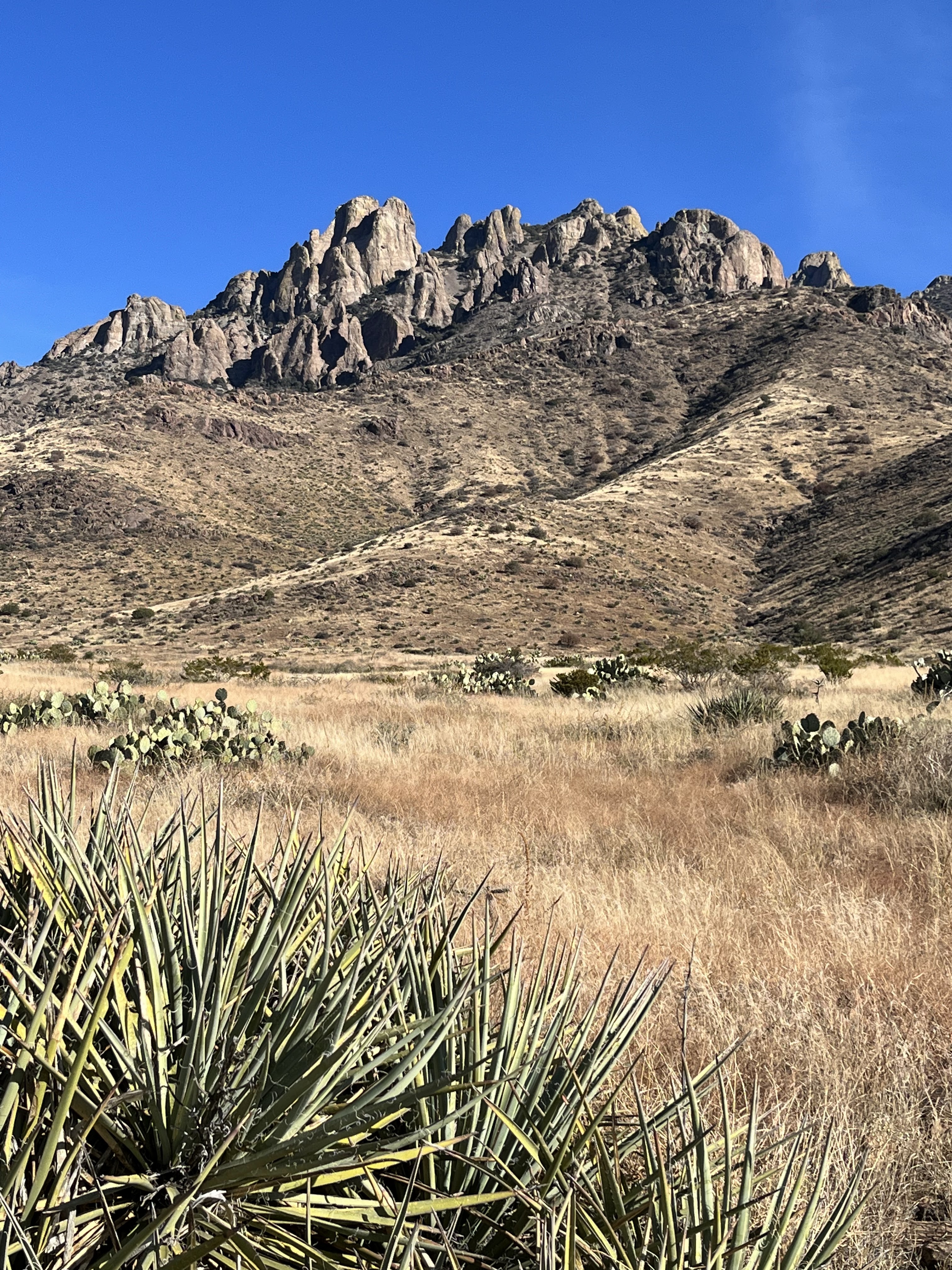
| Capitol Dome |
 |
| View from my picnic spot |
 |
| Rough country, but nice if you take it slow |
If anyone out there is wondering why this is my fourth trip to the Floridas this year, it's because I volunteered to be a wilderness defender for the New Mexico Wilderness Alliance. I'm not entirely sure what the purpose of the program is, but my job is to get out there in the Wilderness Study Area and report, good or bad, what I see. I took on the Floridas WSA because it's one of the areas they wanted someone to look at ( I suspect the ongoing renewed interested in mining there has rallied the wilderness community) and because of my own renewed interest in the range (the last few years I had committed to visiting either the Floridas or the Little Floridas at least twice a year, after only visiting maybe 10 or so times over the last 20 years). It's pretty easy to visit and get back home to Las Cruces on a day trip as well, so it's been a good fit.
Sunday's trip was typical Florida's magic. Once in the backcountry, it was hours of fantastic scenery and absolute solitude. Getting there was a little different. I passed two groups ( one with several vehicles) on the way in, and at the bitter end of the road walked past a parked ORV. Heavy traffic for this area. All were hunting or scouting, I suppose.
I parked at the intersection with a closed road and headed out toward Tubb Spring which lies directly beneath the massive monolith of rock called Capitol Dome. The spring is piped to a well constructed cistern, which was filled with greenish water. Oddly, though, there was only weak trickle being supplied to a concrete trough which wasn't even full. Cattle and wildlife can't really make of use of this situation and it didn't appear that the water was being piped any further either.
 |
| Connecting road was closed |
 |
| Capitol Dome |
 |
| Tubb Spring |
 |
| Cattle carcass |
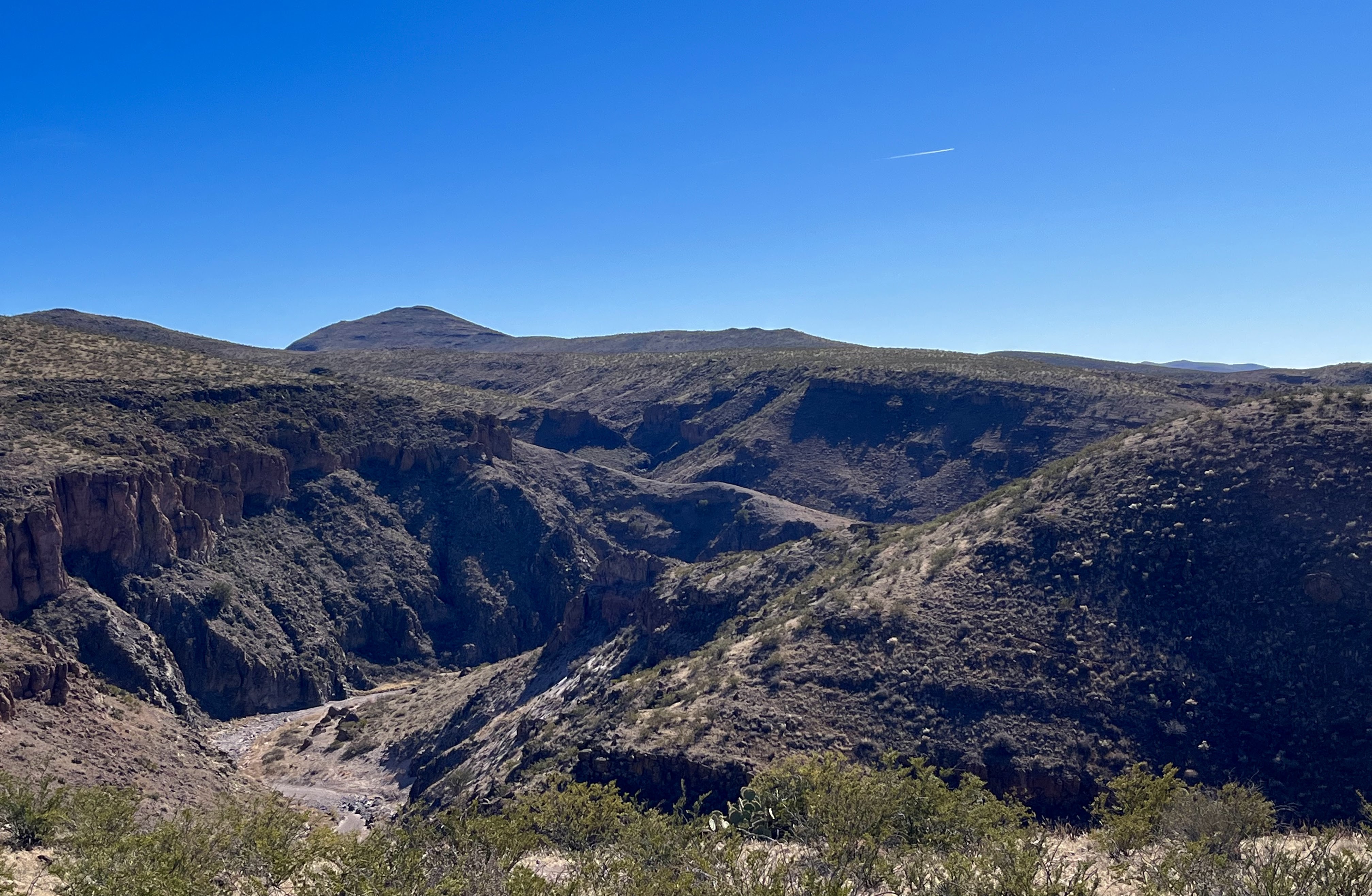
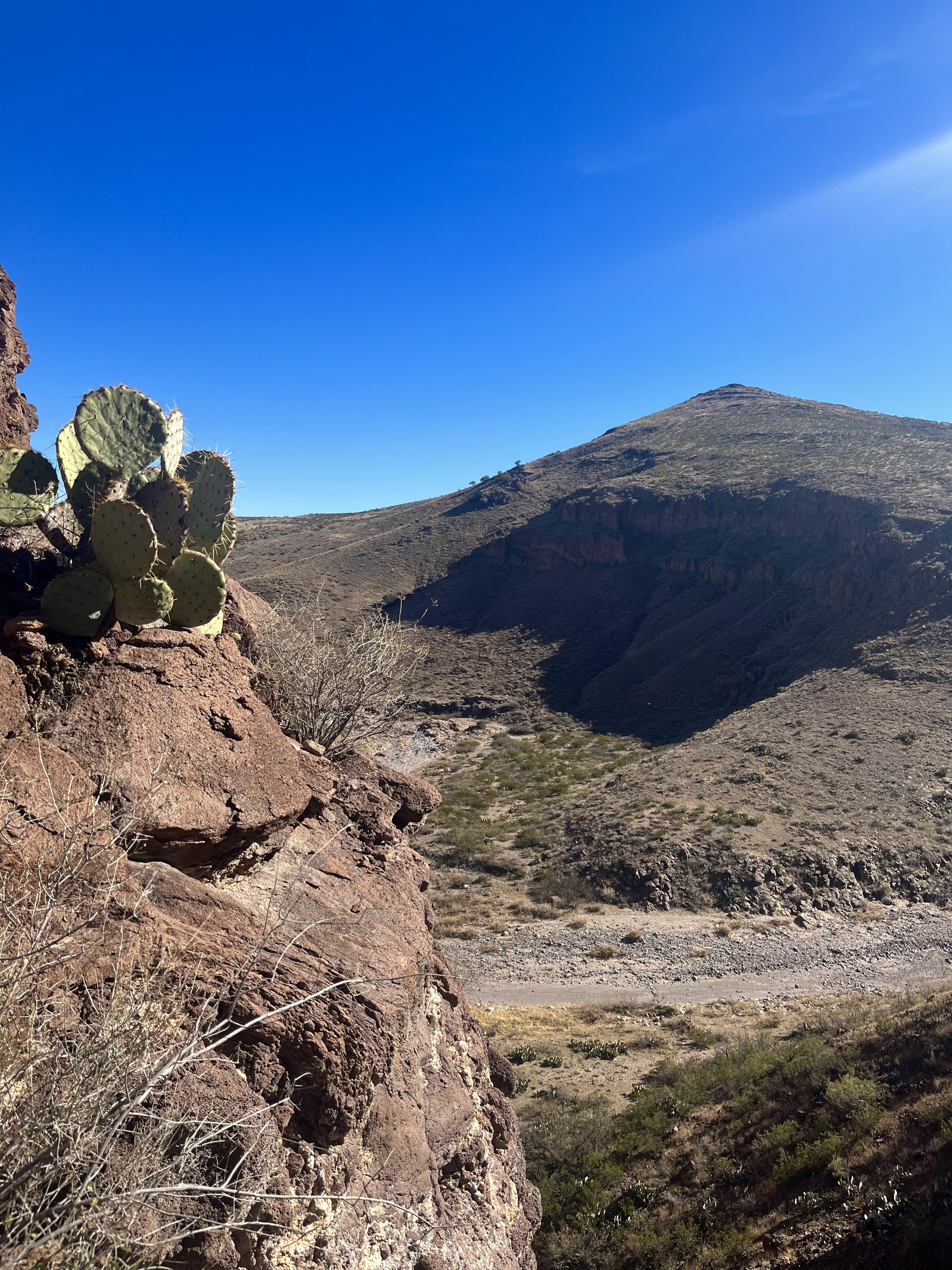
Past the end of the road, I entered into a huge fan-shaped basin area that had been almost entirely hidden from view up until this point. Here. several steep ravines converge to form the beginning of the large arroyo called Capitol Dome Draw. On my left was one huge tower almost as large as Capitol Dome, plus several smaller ones flanking saddles along the ridge. More straight ahead the ridge rose up and was topped by fantastic collection of fins, pinnacles, towers and at least one hoodoo. I circled east, and thought about going up to the saddle that is the top of Lover's Leap Canyon in Spring Canyon State Park, but instead I made a turn back to the west, going higher and hight as I went.
 |
| Hoodoo at right center |
 |
| Road past the spring |
 |
| Capitol Dome Draw |
 |
| Second tower |
 |
| Saddle of Lover's Leap Canyon on right |
 |
| Florida's scenery |
I'm not yet tired of feeling I get in these mountains when I get high enough up to reach the first granddaddy piñons. There is just something magical to me about starting out in complete desert and then being able to eat my lunch in the shade of a pine. In fact, the upper reaches of the this north-facing basin stayed in shadow the entire hike even though I began right at noon, keeping me mercifully cool on this un-seasonably warm December day. After my lunch on a flat boulder which was perfect table, I made my way up the boulders in the wide ravine, Sedimentary bedrock layers that crossed the drainage were a big help in getting out of the creek; walking on solid rock instead of clawing at the steep sides of gravel and dirt. I crossed over another ravine up high, and then decided it was time to make my way down.

I wove through the piñons and junipers, before breaking out into small meadows on the ridges covered with pale grasses. I eventually made my way to the two creek beds on the western edge of the basin. The first had trickle of water coming down a long cascade. The second had a slip of water on bedrock (as well as a small pool) that then disappeared in the gravel and shrubs. It popped out again (sort of) where a patch of green grass still grew amidst the dried stalks of summer weeds and wildflowers.
 |
| December wildflowers |
 |
Cascade was wet though it's hard to tell in this photo
|
 |
| A tiny bit of water |
 |
| seep |
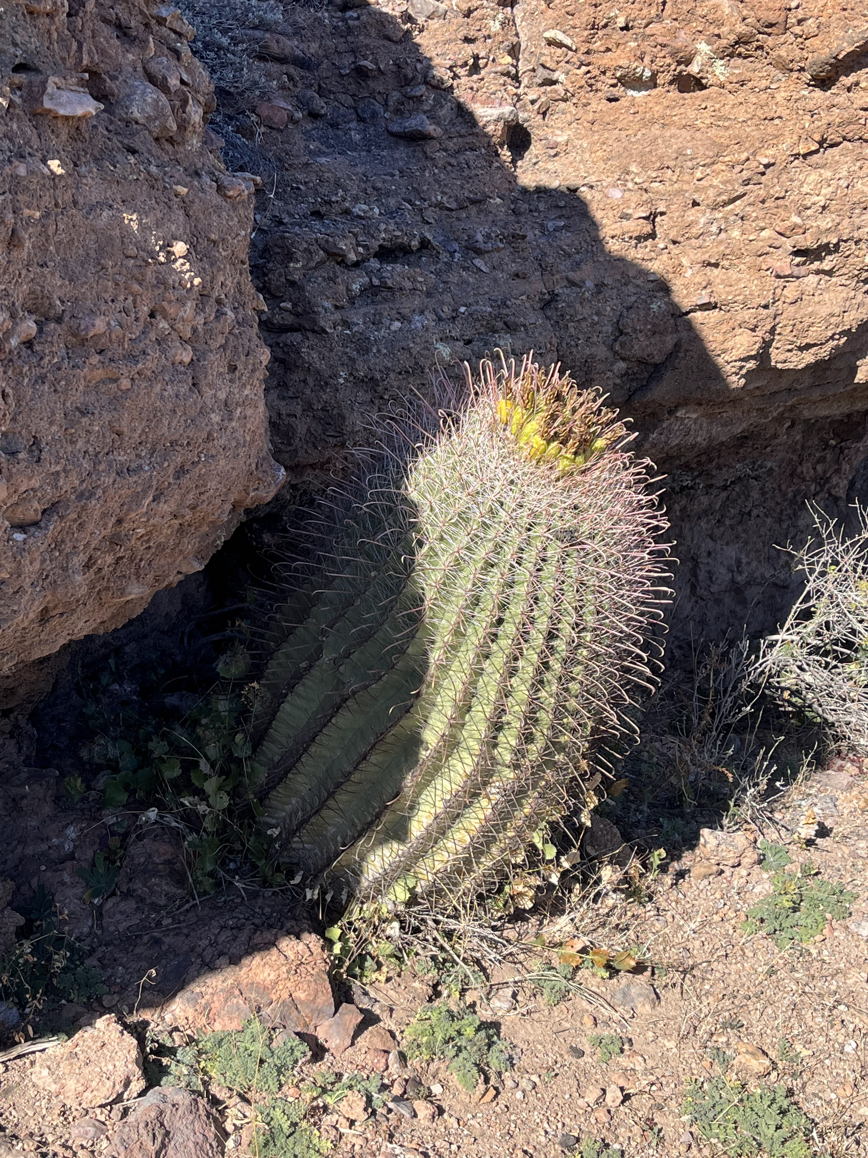
Large grasshoppers and flocks of tiny birds were my only wildlife sightings. A few sleek tan cows milled among a few more black ones, but I saw no signs of cattle past the spring area. Just too rugged, I guess.By the time I got back, the groups I had seen on the way in were packing up and leaving too.
 |
| Turned around at this dry waterfall |
Labels: big trees, fall colors, geology, hiking, waterfalling, wildflowers