Saturday, February 7, 2026

Point of Rocks, Flat Lake area - BLM and State Lands


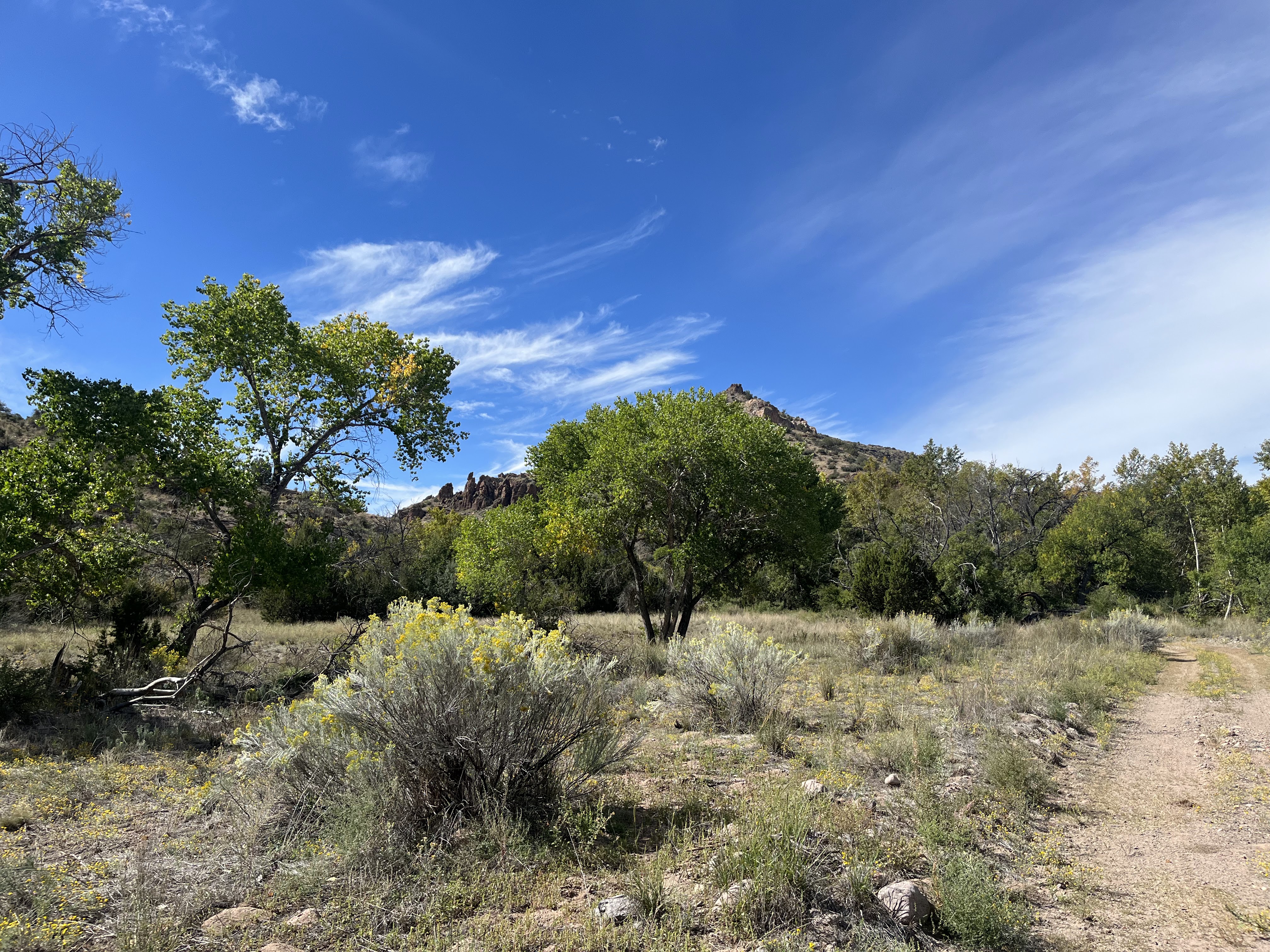
Point of Rocks in distance.
Petroglyphs


Excavation


Excavation with pack rat nest.

Point of Rocks

Excavation

Cans

Barrel cactus.


Barrel cactus


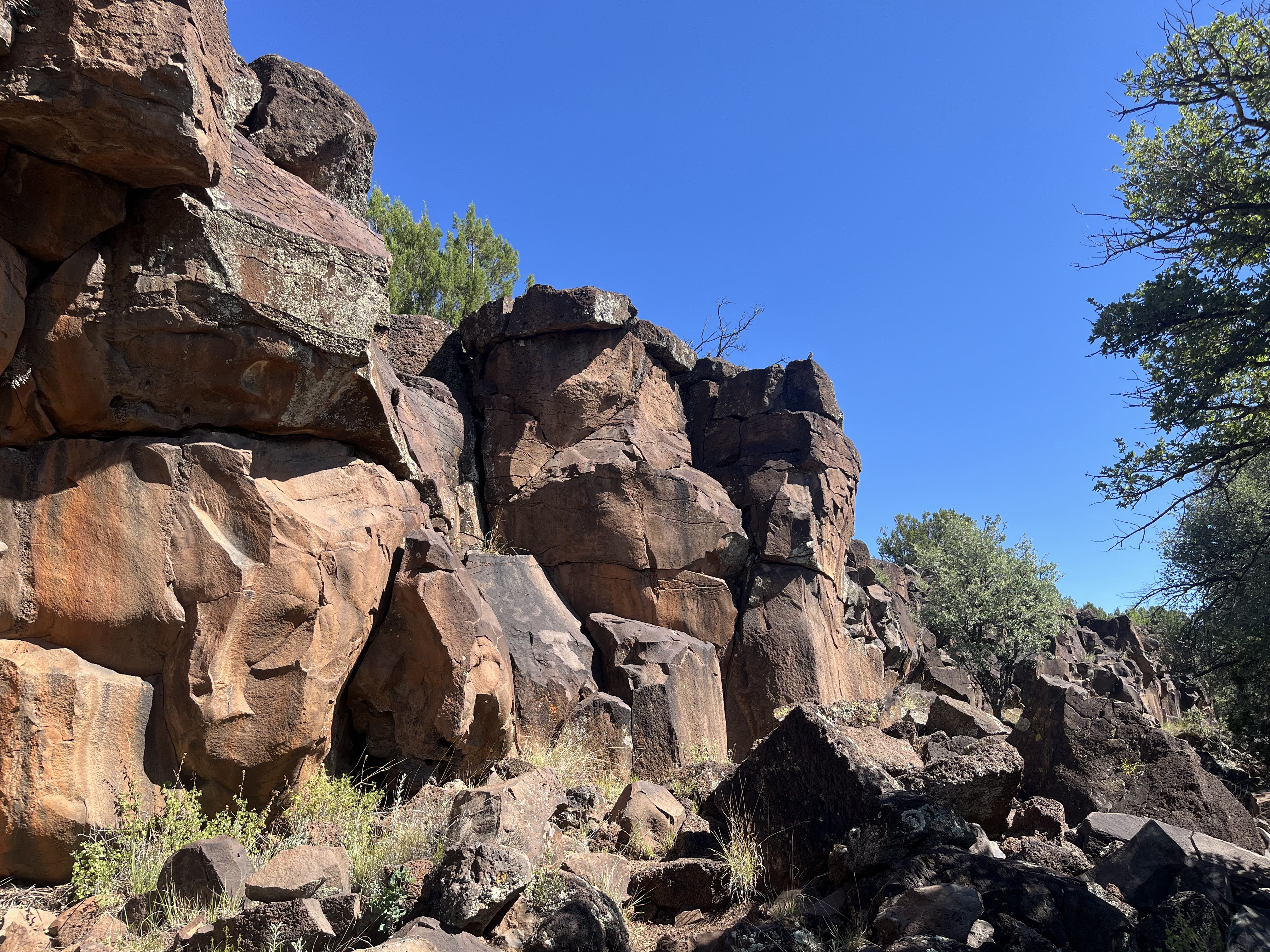
Petroglyphs


Petroglyph
I did three hikes out to this area in December and January. The first was to a petroglyph site I had read about years ago.  On kind of whim I decided to locate it on a sunny Tuesday afternoon, a few days before Christmas.I had put a pin on Google Earth and on On-X where I thought the site was located, but hadn't consulted the former and didn't use the latter in my efforts. I was just relying on memory and instinct. At first, Nessie and I tried a small hill covered with small basalt boulders that was just a half- mile north of the county road. No petroglyphs there, but we did see the first of several small man-made excavations with the appearance of low wall on the perimeter on the hilltop. I realized we were much too far east from what I could remember and so began driving out again on the good county roads. At first we went northeast, where we did spy a likely looking hill of larger basalt boulders, but they were quite close to some private property ( actually this bouldery hill is half private, half public land) and I didn't want to accidentally encounter anyone who might be nosy as to what I was doing.

 On we went eastwards through Flat Lake, a very modest depression that occasionally fills with water, and then past an old ranch that had the appearance of being abandoned, on into an area of large coppice dunes of reddish-orange sand. I kept eyeing a low hill that kept popping up to my left as we drove on the increasingly sandy, undulating, but still easily driven county road. I decided this was my hill and we found a place to park at wide spot in one of the swales. Nessie was reluctant most of the way, I'm not sure why, and the walking was entirely in loose sand, but we made it to the top pretty quickly. Shortly thereafter I began finding the petroglyphs on the black boulders submerged in the sand. I smiled at the ease of finding them, giving that oftentimes while armed with directions, apps and waypoints locating such an obscure place can prove quite difficult indeed. I circled the the little oval of a hilltop several times before I was satisfied I had seen most of what the place had to offer. We headed back. This time I let Nessie choose the route and we ended up a little west of the truck, but all was good.

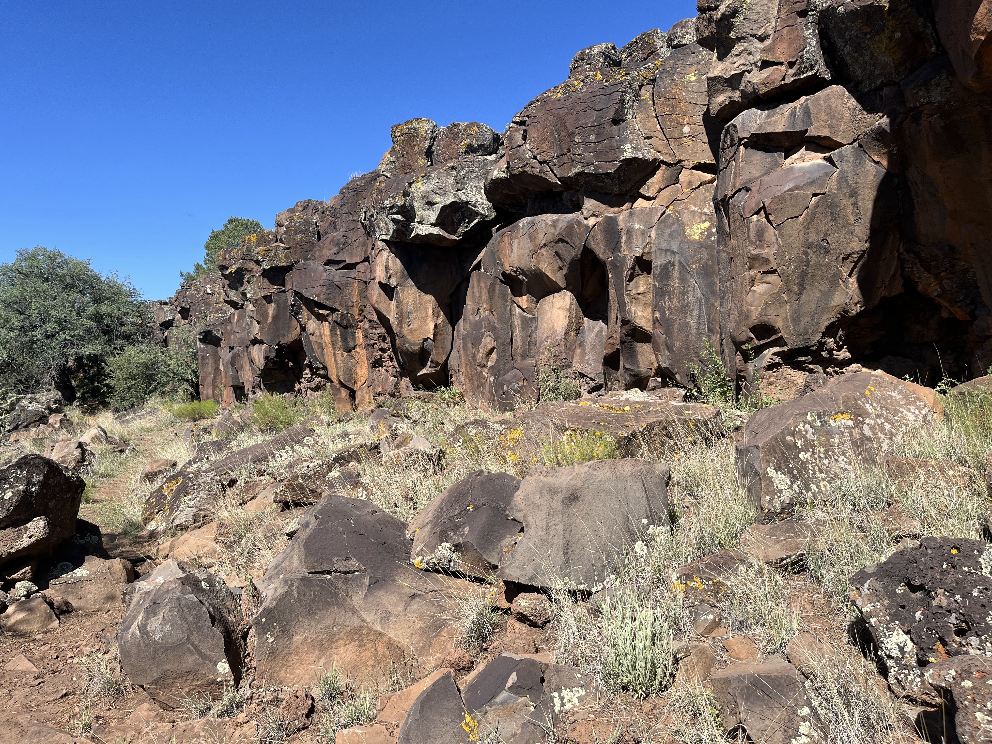
 The second trip I investigated a prominent cuesta-like hill that stands some distance apart from the many pointy and rounded hills that make up Point of Rocks. There was another excavation on top and I found  a couple of petroglyph panels in the jumble of boulders against the low cliffs on the west side. I then went after a couple likely looking ridges that lie just to the west of Flat Lake, but found nothing much in the way of artifacts or rock art.

On a third trip I hiked to a trio of hills that are the southern edge of the main mass of Point of Rocks, and then also look at isolated hill very close to the county road. I found more excavations, one with a very obvious attempt at a wall around its rim, but no petroglyphs. There was the occasional chunk or flake of point making material but little else produced by humans that I could find as I wandered over rock and sand through the creosote, mesquite and stubby grass that filled the many shallow depressions scattered over the area. The desert was warm each outing, too warm really for the middle of winter, but I enjoyed being out there in an area I had only visited a few times over the 28 years I've lived here. 

Constructed ring
Agate chunk
Cairn with fallen post

Labels: , ,

Wednesday, July 17, 2024

Gila National Forest - Apache Creek Interpretive Trail, FT 16

prickly poppy


 We went out to this site a couple of weeks ago (7/3/24). It's a lower elevation hike for the area so it was already getting to be a bit too warm. I'm sure it is too hot right now. The sign for the site, right at the intersection of the primitive road (4177 R) and the well maintained  FR 94, was completely obscured by a huge section of a huge ponderosa pine that had fallen across the road to the parking area.  At first I wasn't sure what to do. I didn't want to just start walking down the road because I didn't want lengthen the hike any with the morning warming up rapidly and me with two black scottie dogs. Another section of the tree had fallen the other way which seemed to block going around the rather considerable stump. Looking closer though, it seemed that we could just squeeze the 4Runner in between the standing snag and the fallen section, which it what we did. 

 After parking we started to the left where the trail quickly got rough and steep. Luckily, our older dogs seemed up for the adventure, although they didn't quite understand all the switchbacks.

Soon we were at the  cliff face where the trail leveled out and the scrub live oaks provided welcome shade. It was mostly easy walking that had a sweet cozy feel as we looked for petroglyphs and listened (but didn't hear any) for snakes.

The rock art here isn't the best, certainly not in league of the site along the Tularosa River that we visited last year.  There isn't a whole lot of it either so you have to keep your eyes peeled if you want to see what's there. Just as I was wondering why the all of the petroglyphs were on the cliff faces and not on any of the abundant broken-off boulders, we came upon two marvelously clear ancient spirals on a large gray angular rock. Unfortunately, immediately adjacent, were someone's painstakingly scratched initials of a much more recent vintage.

 There were lovely views of the pine clad mountains the grassy valleys from up top. The descent offered a little more shade than the ascent. All in all it was a nice, but very short, hike. If you go in the summer, get there as early as you can.

Labels: , , ,

Monday, October 30, 2023

Ladder Ranch - Las Animas and Seco Creeks

Las Animas Creek

North Seco Creek

Las Animas Creek


 Looking down to Las Animas


Sycamore

Padilla Homestead


Artifacts, grinding mortars at the Padilla Homestead

 North Seco Creek


 We visited the Ladder Ranch for the second time a couple of weeks ago (10/14/23). Andrea had given me another full day tour for my birthday. We first looked at areas where they are doing endangered species work with tortoises and prairie dogs that are the southern edge of the ranch. After switching to a side by side ATV at the ranch headquarters we then headed up Las Animas Creek. Initially, after crossing the creek, we went high above it on a very primitive road because of a very narrow box canyon. Eventually, though we descended back to the stream bottom. I have nothing good to say about the section of road that brought us down. It is not for the faint-hearted.

 Down in the valley were sycamores, cottonwoods, alders, and ash trees. Some were still bright green, others beginning to turn. The creek, a few inches of tea colored water, trickled in the middle providing for this miraculous riparian display. We visited the old Padilla Homestead with its crumbling adobe walls. Just a few yards from the stream, it was a desert scene with mesquite and thorny shrubs poised to engulf the place.


Further on we encountered areas where the bosque had burned in the Black Fire and got a look at a few petroglyphs as well.

 For the second half of our trip, I wanted to get over to Emrick Canyon which is tributary on the south side of South Palomas.That meant getting up and out of Las Animas on a "road" that was equally unnerving as the road that had brought us down. We then moved over on the high plateau to descend to first South Seco Creek and then on to its confluence with North Seco. The vast, grassy table lands of the Ladder Ranch are just spectacular to behold, but without time and right light of day, no photograph that I could take would do any sort of justice to the feelings of awe I get when encountering them. I refrained. In addition the prairie dog,  and the tortoises from early in the day before going up Las Animas, along our trek we saw wolves (in their pens), bison, turkeys, deer, red tailed hawks, lizards, a burrowing owl, scaled quail and many smaller birds that our guide Ken Stinnett pointed out to us.

In North Seco, there were springs, but no flowing stream. Narrowleaf cottonwoods were turning bright yellow against the sinuous gray cliffs of conglomerate. A beautiful scene.

NOTE: the Ladder Ranch is private property and not open to the public. You must arrange (and pay) for a tour  through Ted Turner Reserves.

Labels: , , , , , ,