Thursday, June 9, 2022

Black Fire - Aldo Leopold Wilderness, Black Range, Gila National Forest

  I will try to keep this simple, but who knows what will happen?  The Black Fire is burning nearly all of the Aldo Leopold Wilderness ( the third largest wilderness in our state), the heart of the Black Range Mountains. It is so dry that even the recovered areas of the Silver Fire, thick with locust, oak, aspen shrubbery and grass are burning again (https://southernnewmexicoexplorer.blogspot.com/2013/07/silver-fire.html). 

Wonderful areas like Taylor Creek that are immediately adjacent to the wilderness and still within the Gila National Forest have burned as well (https://southernnewmexicoexplorer.blogspot.com/2020/10/taylor-creek-gila-national-forest.html). 

I am sad that this is all happening(again) to a place I love.This fire started in May, and since we've hardly even had any clouds for three months, never mind rain or lightning, that means it was started by extremely careless human beings.  I understand that fire has always been part of the natural cycles of our forest, but it's not even close to natural when they start in April or early May by human hands. The problem with  a fire starting in early May, as opposed to June or July is that it has a long time to burn before the monsoon rains appear. It also means it's burning at the driest, windiest time of the year. So it's burning hot all day and all night.

Until several wildernesses were established in 2019 in the Organ Mountains Desert Peaks National Monument, the Aldo Leopold was the closest wilderness to my home here in Las Cruces, and until the Silver Fire in 2013 the Black Range was our main forest stomping ground. We have car-camped, backpacked, fished and hiked there since 1998.

 I am forever conceiving, then revising and prioritizing my " bucket list" of hikes I want to do in  New Mexico. One page in my  current notebook ( I've gone through several over 24 years) is devoted to the Black Range.  I had 18 hikes in there. Two I completed back in the fall, Stoner Creek (Pine Spring Mountain) and Trujillo Canyon, beautiful places that I wrote about in this blog. So that left 16. Fretting over the ever growing "pink area" on the Inciweb map was/is a daily routine. First it burned up South Diamond in a day (!), one of the few major drainages of the Black Range that I hadn't visited. Cross that one off. Then it got into Hoyt Creek, a place I had wanted to visit back in 2020 when we camped at Corduroy Canyon ( which burned last year by the way). Cross another one off. It got to Reed's Meadow, and Upper North Palomas and Moccasin John canyons. Cross those off. It got to Circle Seven tributaries Deadman Canyon and North Prong. Cross those . . . well actually I've just been writing the word "Burnt" next to entries. I didn't have the heart to cross them out. Diamond Peak? Burnt. Upper Morgan Creek?. Burnt. Mcknight Canyon (this one would be a revisit)? Burnt.  In all, half of the places on my list are done in, and since I'm nearly 61 years old I doubt I will ever be trying to visit any of them. My days of tearing (and getting torn) through locust, stepping over endless fallen snags,  sweating without a lick of shade, navigating through debris without a hint of a trail while "enjoying" views of black stumps are definitely numbered. See my blogs for East and West Curtis Canyons if you don't know what I'm talking about.   https://southernnewmexicoexplorer.blogspot.com/2016/03/east-curtis-spring-aldo-leopold.html

https://southernnewmexicoexplorer.blogspot.com/2016/03/west-curtis-canyon-aldo-leopold.html

Then I  would wonder "will it get to South Fork Palomas? or North Seco?, or Taylor Creek?, or Middle Circle Seven?, or Lower Morgan Creek?"  It did. It had already burned up Turkey Run and Main Diamond. All these beautiful places that I've visited over the years just part of an ever-growing burn scar. Now it's moving down into Las Animas Creek, and probably Holden Prong. I've felt for awhile without some sort of precipitation it's only going to stop at NM 152. Kingston may have to be evacuated. 

https://southernnewmexicoexplorer.blogspot.com/2017/10/south-palomas-creek-aldo-leopold.html

https://southernnewmexicoexplorer.blogspot.com/2020/06/north-seco-creek-box-aldo-leopold.html

https://southernnewmexicoexplorer.blogspot.com/2018/04/circle-seven-creek-camping-2018-gila.html

https://southernnewmexicoexplorer.blogspot.com/2012/07/morgan-creek-gila-national-forest.html

https://southernnewmexicoexplorer.blogspot.com/2015/04/circle-seven-creek-camping-2015.html

https://southernnewmexicoexplorer.blogspot.com/2015/04/circle-seven-creek-trail-ft-106-gila.html

https://southernnewmexicoexplorer.blogspot.com/2012/08/circle-seven-creek-camping-earlier-trips.html

https://southernnewmexicoexplorer.blogspot.com/2007/11/circle-seven-creek-camping.html

The proximal causes: mega-drought and a stupid person. The long term cause, of course, climate change. But the idea of wilderness itself is a factor in this fire. There are no fire breaks in a wilderness.  Forest wilderness areas defy firefighting because of the very nature of what they are: the most rugged areas of our state. Even though we are in our second decade of huge catastrophic fires in the southwest it seems that all we can do is react, not prevent, not protect. It is a failure in our thinking. We could say these events are inevitable, and perhaps they are under current avenues of thought. It's a failure of will as well. In some way I believe that because we don't do more to stop wildfires (I'm talking those human caused ones) before they happen, it's almost as if it is our collective will to have them happen.  These gigantic blazes are happening over and over again and yet each time we arrive at a dry spring that follows a dry winter and fall and the winds start to blow, there is no urgency to our thinking or behavior. Surely, it won't happen again, or here, we dream.  And then it does. Sometimes we get lucky and the fires don't amount to much, but sometimes we don't get lucky and then . . . 

 Should we: Close the forest sooner rather later (as in too late)? Have a firefighting force at the ready at the most vulnerable areas before any fires even start (some might think this too expensive, but I read recently that fighting the Hermit's Peak fire is costing about five million dollars a day, so maybe not)? Cut firebreaks in the wilderness, even though it would be using mechanized equipment?

 I don't know. I do know these areas will recover, but it will be many years before they are anything like what they were, and some areas will never be what they were again without the aid of human intervention. Pines, firs, and spruces just aren't coming back in burned areas here in the dry southwest. I also know no one wants to visit a burned-up forest, myself included.  I have been looking for areas that didn't burn since the Silver Fire ( Google Earth helps with this) and if a hike leads me into a burn area, that's usually where I turn around. Now I have to turn around from the Aldo Leopold.

An entire wilderness burned.

FOOTNOTE (6/21/22): Rain has somehow come miraculously early this year. Not soon enough to have both the first and second largest wildfires in New Mexico's history in the same season, but still we are grateful.  The Black Fire's behavior right now is "minimal" and the perimeter is 68% contained. It looks like about 90% of the Aldo Leopold burned. It almost seems sadder now that the end is sight. Floods will come washing ash into native trout streams ( Holden Prong-Las Animas, Diamond, South Diamond, Black Canyon) as well the few ( non- trout) streams like East, Mineral, North Percha, Hoyt, and Taylor Creeks that contain mixtures of native and non-native species like dace, shiners, suckers and bass ( Taylor and Hoyt). I will probably still visit areas of the Black Range south of NM 152, but I won't have the heart look at many areas on north side. I feel like many of the most special areas had high intensity burns, so I will be waiting for the fire severity map to see what's what.


Labels: , , , , , , ,

Wednesday, April 6, 2022

Aldo Leopold Wilderness - Bald Hill Trail 4081C, Gila National Forest


A couple of years ago, we parked at this same intersection ( FR 157 and FR 4081C) and hiked down the lower part of Dumm Canyon. The stream was flowing under blue skies and it was beautiful day. Back then, I made a mental note  to one day hike upstream from the same spot to see what we could see. This past Sunday ( 4/3/2022) we did just that. Conditions were a little different though. It has been brutally dry once again. The only real water we saw was crossing North Percha Creek. When I got out of the truck, I was immediately hit by how warm it was,  which made me think that now even the early Spring might not be  great time to visit anywhere but the highest elevations in Black Range.

 The trail is really an old road. A short way in we saw some walls and pieces of tin roofing, and then a side road that went steeply up a hillside to a mine. This, plus the cabin ruins to the east are all that is left of the tiny settlement of Danville, which is mentioned several times in James Mckenna's famous memoir "Black Range Tales."

 Metal headframe to the right of the pine


 We found a built up gravel platform which had stone foundations on the other side of the creek as well. There may have been some ore processing done here, but there were no artifacts to be found to confirm this. We continued on. It was actually a pretty little forested hike for about a mile that would have seemed much more pleasant but for the frighteningly dry state of the forest.

As we walked I kept looking up to the north side of the road for any sign of Bald Hill Spring. I was hoping to see an unusual density of vegetation, or perhaps some deciduous trees or shrubs just budding out, but I really saw nothing that gave it away. If it hadn't been so warm, and that given the conditions the spring might not even have any flow, I might've trudged up the hillside to find it. Another day.

 Eventually, the road ended and we followed a faint wildlife trail which quickly entered an area of dead trees and burnt snags. We could see green forest again about 1/3 of mile away, but from this point on it seemed that along the  boulders in the creek bed was probably  the only reasonable way of continuing on  given the density of low growing brush, coupled with the many unstable ravines on its rugged banks.  Too rough and too warm to tackle that day, especially with the dogs.

We stopped when we had gotten to a point with unobstructed views of a pointed mountain of brilliant white rock shimmering a half mile in the distance. We walked back and then went a short distance east and visited the cabin ruins we had found a couple of a years ago.

Found- 1 vintage Michelob bottle. 1 vintage Heineken bottle. 1 more recent can from the Bosque Brewery. Little else, which shows either the lack of visitors, or the general environmental awareness of those who do, or both.

 NOTE :  After about .60 miles the trail enters the Aldo Leopold Wilderness where vehicles of any kind are prohibited.

Labels: , , ,

Tuesday, June 16, 2020

Aldo Leopold Wilderness, Gila National Forest - North Seco Creek Box


Butterfly milkweed


  IMPORTANT UPDATE ( Nov., 2024): Although this hike was within the Black Fire,  recent satellite imagery shows that North Fork Seco Creek ( at least the portion containing this hike) was NOT significantly burned as with South Fork Palomas Creek 
    I've been wanting to get to the North Seco Box ever since I got a copy of Bill Cunningham and Polly Burke's " Hiking the Aldo Leopold Wilderness" way back in the early 2000's. We got close one Autumn, probably a mile away, about 10 years ago.
Sometimes, a calm comes over me and I realize there's nothing holding me back from the thing I want to do, and  I do it. That doesn't mean it will be convenient or super easy. It just means it's going to happen. I've so many places I want to go, all within a (sometimes long) day trip that many times it's just hard to decide which one to do. Interests, priorities, and schedules shift which rearranges the queue over and over, but the most important factors that frequently rule the choice are accessibility, difficulty, duration and season.
  The North Seco Box has none (or perhaps only one) of these in its favor right now. It's nearly a three hour drive from Las Cruces to the trailhead, with the last 3 or so miles past Hermosa on a rotten coda to the now mostly well maintained Forest Road 157, where the going is tortuously slow right up to the dead end at the locked blue gate past which  the last mile or so (seemingly in better shape, but perhaps because it's not driven on anymore) has to be walked down to the creek.
So much for convenient accessibility. It's not a difficult hike.There is little elevation gain or loss, excepting the road walking down to the creek, and the trudge back up to the parking at the end of the day. It is long walk though, somewhere around 10 miles round trip which took about six hours including lunch, a few rests and copious picture taking. It's just a long day of both driving and hiking.
 I have time off, and time on my hands in the summer, but this hike, which tops out at an elevation just under 7,000 feet is not really summertime hike. I started just after 9 and the day warmed up quickly in the wide east facing valley. Trying to keep a steady 3 mph pace on the way didn't help either. Still, I was never  really uncomfortable, although I did dip my hat in the stream occasionally and wet my shirt a couple of times on the way back.
All that being said, the reasons I did go, became crystal clear, the day before I went. I wanted a place where almost no one goes (I like it best when I can't find a single picture of a destination on the internet. If there's too many I lose interest), and even it's anything like the boxes of (the similarly massively inconvenient) South Fork Palomas Creek or Sapillo Creek, or the trips to the waterfalls in East and West Curtis Canyons,  all of  which I've visited  in the past four years, then I knew the magic would be worth it.
 The creek was dry at the road crossing, but Davis Well's solar powered pump was filling two small ponds with water. I walked west on the road, hoping perhaps to see some ancient pottery between the dried grass, but being fooled too many times by rocks that had a maddeningly uncanny similarity to ceramics I've found in the past.
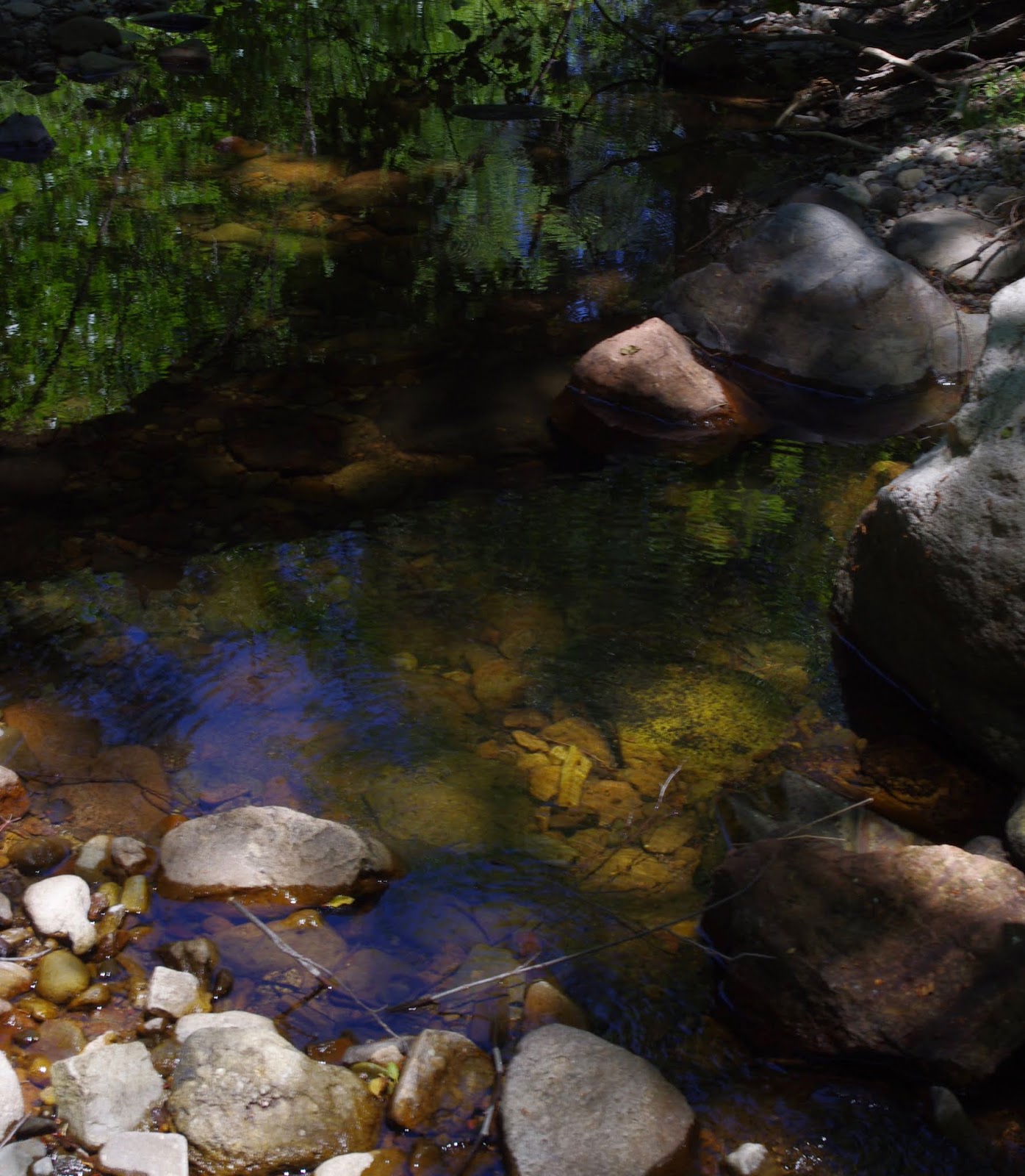
 One of the things I noticed right away is that cattle are not here, and by the end of my day, seeing the remarkable recovery this place has undergone, I came to the conclusion, that it would a sin to let them back on. About mile west of the Davis Windmill the stream  begins to get more and more shaded with mature alders, narrowleaf cottonwoods, box elder and oaks and lo and behold the stream came to life with a few inches of amber water trickling through the pale stones.


 Further on, in burnt over sections,  beyond the wilderness boundary at Sawmill Well, young alder growth was crowding the banks, keeping things shaded enough for at least some flow, albeit with a couple intermittent dry stretches, all the way to the box.


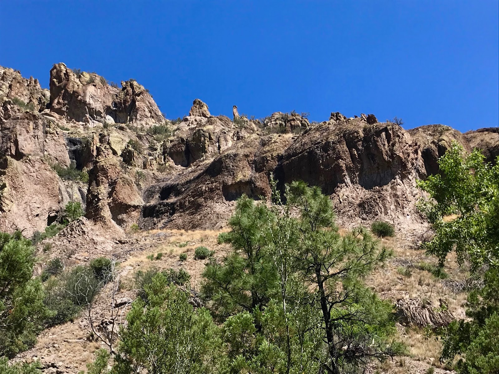
 It had seemed so easy and I had made such good time, I could hardly believe I was entering the narrowest section of the canyon, where  on the north, gigantic formations of red and tan volcanic rocks grew at the top of  steep, nearly bare hillsides.

On the south, straight gray cliffs like book spines went up a hundred feet and more. Spruces, pines, alders and firs craned and stretched toward  the sky trying to rise above them.


Directly in front of me, however, the jungle of willows, and the dark passage ( even with sun almost directly overhead) began which I had to push through for next  half mile or so. I didn't mind. At my feet the creek was  at a modest gush, with pools, some of which there was absolutely no practical choice but to wade through, up to two feet deep where tadpoles wriggled away at my approach.  I paused for thought as I did when I visited the Sapillo Box a couple of years, ago:  these same passages might be waist deep or higher  early in the spring. So, maybe the driest time of the year isn't such a bad choice after all.


Eventually I got to the mouth of Long Canyon on the south side, beyond which, North Seco entered an open, well burnt over section, which would not have been much fun to walk through at the noon hour, and was happily beyond the scope of my plans for this day.
  I turned back around  and ate my lunch sitting on gray bedrock eroded to appear as the pages of a book, with perfect views of perfect bends in the creek both up and down stream.  As I looked around at the quiet stream, green trees, I had the feeling I was somewhere else in the Gila, or New Mexico, or the west. Or maybe it just felt like a different time, before all the drought and fires. It was over too soon. I made my way back more slowly now, shaking hands with the grandfather trees, and saying hello to the stellar's jays who came to check me out. I purified some extra water.
Back at Davis Well I walked around the ponds, frogs leaping into the water at my every step, then down to the old corral and loading chute, and then down a little further to a small clearing.Walking back up old FR 893,  a fox, or maybe even a coyote, most likely after getting a drink at the well, bounded through the brush in front of me. I didn't want to leave.


Labels: , , ,