Tuesday, February 25, 2020

Potrillo Mountains Wilderness - Organ Mountains-Desert Peaks National Monument




The cholla, which does well out here, has grown fat and happy with the winter rain and snow. Weeds are beginning to green up the red sands.
The walking is pretty easy on the softened soil despite all the black rocks. They only sink in a bit, instead of pushing back.  From the end of the cherry stemmed road we have headed out to the northwest. Crossing one larger arroyo with tan sand, low black cliffs and gray basalt bedrock, we climb up a  low ridge toward a pile  of contorted, lichen stained rocks that are remnants of a spatter cone, one of several that shyly stick up out of monotonous creosote flats. On the backside is a rat's nest of identically sized black and gray rocks.

 Jackrabbits and cottontails bolt only when we get very, very close.
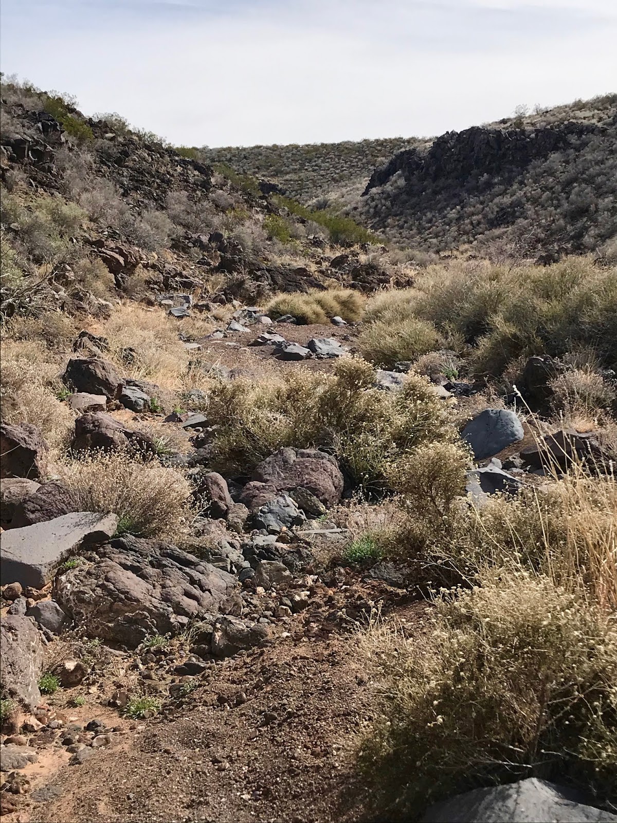
 We reach the edge of the canyon I'm seeking in less than two miles.  I had scouted it out as the deepest box section in the West Potrillos, somewhere between 60- 80 feet, and it definitely seems to be at least that.  Up ahead  in the bends of the arroyo the black cliffs are pocked with small alcoves and caves.
 
In front of us, it's a steep descent to the  bottom of boulders, sand and  gray bedrock. I slip a couple of times. Soon after I come across  a huge set of antlers, that seemed big enough to be from an elk, if we weren't close to a  hundred miles or more from elk country. I can't imagine such a huge deer surviving in such marginal terrain, but here is the proof.

 Below one of the several dikes of tilted gray rock water lingers. Bees buzz in a recess in the cliffs.  The caves and alcoves yield only dirt and the twigs of pack rat nests. Moving up and up, eventually the box shallows up into wide arroyo of sand, barely etched into the landscape. Dried grass blows on the banks.

 
Clouds have pulled themselves across the sky. It seems a long walk back. The pale giants of Cox Peak and Mount Riley  are off to the east feeding off the low relief that surrounds them, to be giants.  A side by side ATV speeds along in front of us on the continuation of the road that penetrates the wilderness.We moved south toward a wide cinder cone perfectly divided by the breach of its crater, back to waiting vehicles.

Labels: , , ,

Monday, September 25, 2017

Sierra de las Uvas Wilderness, Organ Mountains Desert Peaks National Monument - White Gap Draw


 I noticed the narrow little section of White Gap Draw back in the spring on my hike to Chivatos Canyon and Plateau. It looked interesting enough, that I told myself I'd get back there soon for little morning hike.Well the opportunity arose on the last weekend of summer 2017. I started out near the turn-off for the primitive road that ascends Chivatos Canyon. White Gap Draw is one of the large upland tributary arroyos along with Choases and Kerr that coalesce to form Broad Canyon. Its name derives from a peak of white volcanic ash that rises above on the north side.

 On my little hike I saw wildflowers and hundreds of butterflies.

 Cows and calves grazed in the abundant fading green of the bunch grasses. I looked for signs of ancient peoples in the cliffs and boulders, as well as the bedrock of the streambed, but found none.
 
When I got up out of the canyon I headed toward White Gap Tank on a bit of the old road that heads up to Little White Gap. I cut across  on top of the mesa back toward my vehicle stopping under a tiny juniper to drink, and admire the green land of mountains and mesas all around me.


Labels: , ,

Sunday, March 26, 2017

Sierra de las Uvas Wilderness - Chivatos Canyon and Plateau, Organ Mountains- Desert Peaks National Monument


This was a nice hike for an early spring morning. The grasses were greening up, the wildflowers were beginning to bloom and the junipers  looked bright and full. The destination of this hike is the plateau country of Uvas Mountains Wilderness Study Area and this walk has the distinct advantage of the use of  a  very old, little used road to get up there. Although it is cherry-stemmed out of the WSA,  this road to Chivatos Tank and beyond, is getting more than bit wild itself. I was glad I parked just off of off the through road ( I'm never sure what to call it in these middle regions, either the Barksdale or the Corralitos Rd, E006 or D012), and elected to walk to Chivatos Tank. I'm not saying it can't be driven, but I enjoyed exploring the canyon itself, examining different sections on the way in and on the way back.
 The walk to the tank was pleasant with early season butterflies flitting  about and bird songs welcoming me. Although there was several bedrock areas, and a narrow slot-like pot hole stretch that held water in several places, I didn't see any grinding mortars, or petroglyphs.  I did find a vintage Pepsi can and other vintage trash.


The cliffs exposed the oxidized tuff and basalt caprock resting on layers of  pale conglomerate and volcanic ash.
 The tank was without water, a surprise given all the rain we've had this winter. Past the tank my trail/ road zig-zagged up the hillside. I rested under a juniper when it finally leveled off and I wondered if I will ever find another surviving piñon tree in the Uvas. Continuing on I hit the highpoint of the hike which is a shade over 6100 feet. Google Earth greatly enhances the continued viability of the route as a vehicle road . Grass and weeds are taking hold in the gravel tracks of the main northward branch.Two side roads that begin close to one another, on the plateau, one heading east and one heading west up onto  adjoining mesas are almost invisible at their starts in the high growth of last years grass and wildflower skeletons. They might be fun to explore on a second visit.
 Looking down  I saw  several nice pieces of the ubiquitous Uvas agate, including one glob that had  the nice pinkish-orange tint that is more prized than the more common shades of blue, gray and white.

 Where the road ended, there was still a little bit of rocky mesa left where I first descended and then walked up a little hill to the "land's end" point where there were views of lower peaks of the Uvas, the arroyos leading to the river and to the village of Hatch.


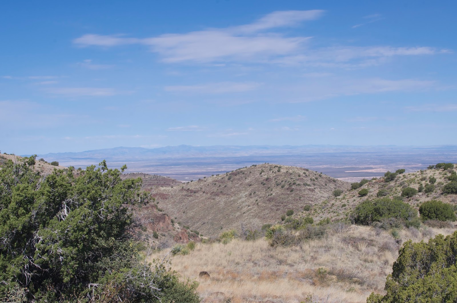
 Beyond, there was the Black Range of the Gila, the Caballo Mountains, the San Andres chain on the east and far to the north, the buttress of Victorio Peak of the San Mateo range.

 On my return walk, the sun emerged from the cloud cover that had mercifully kept the heat down. In spite of the rising temperatures, I couldn't resist the urge to explore the little box section of Chivatos Canyon just downstream from where I had parked. Although there were deep natural pools of water and this area is very close to places with petroglyphs, once again I found no rock art or grinding mortars.


 I walked backed out and to the car. I had been out about 4 hours and covered between 6 and 7 miles. The elevation gain was a little less than 1,000 feet

Labels: , ,