Apache (Gila) National Forest - Mangas Mountains hikes.

 |
| Aspens in El Toro Canyon |
 |
| Caballeriza Canyon |

 |
| The one CDT marker on a large oak tree. |
 |
| CDT Trail |


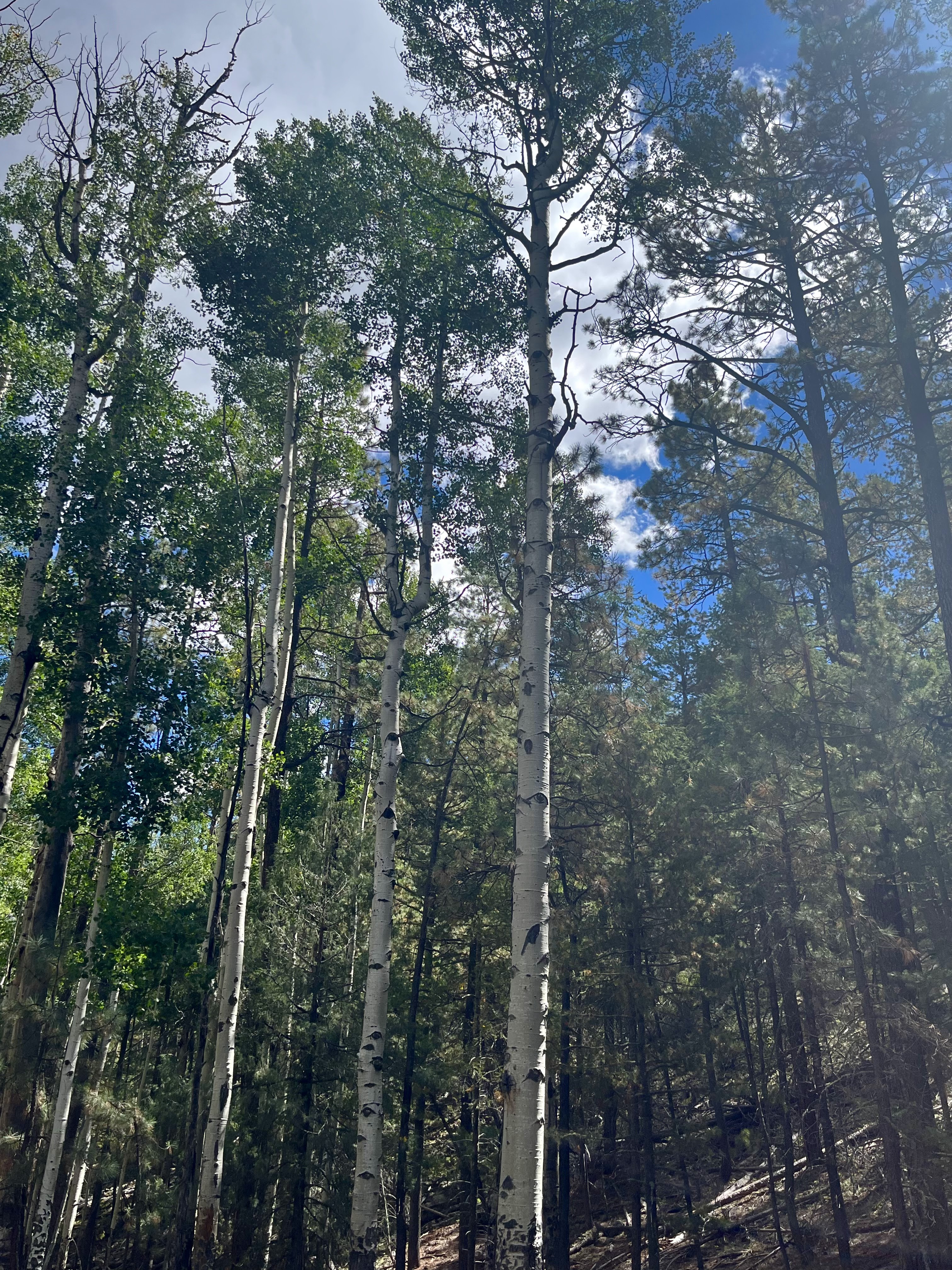


We did these two hikes over my two week fall break in late September and early October. The first one we drove in on the east side of the range using the Alamocito Road off of NM 12. This initially good road (FR 11) gets very rough after it forks near Alamocito Spring and even rougher still as it goes deeper onto forest service land. We found out a few days later that we had damaged our oil pan at one of several very rocky spots where it crosses the intermittent stream (North Fork Alamocito Creek) it follows. We saw a cluster of buck deer, elk and coatimundi while still driving on a little inholding of private land within the forest where a spring has the stream flowing nicely for about a 1/4 mile or so. We got to our trailhead past Tordcha Tank parked and then began hiking up an abandoned road (FR 4014H) which for most of our hike seemed more drivable than the road that had got us there. This canyon is call El Toro Canyon on maps. Our destination was Oak Spring. It was a nice hike for the most part. There were some decent aspen stands downstream from the "spring" which may actually be submerged in the impoundment there or just upstream from it (in which case it was dry at this time of year).


Unfortunately we were a bit too early and the trees were only showing the barest beginnings of their fall color. It still was a bit warmer than I would want given it was the last week of September and Oak Spring is at an elevation of 8400 feet, but that's just how things are much of the time these days.
 |
| Abandoned hunting blind at Oak Spring |
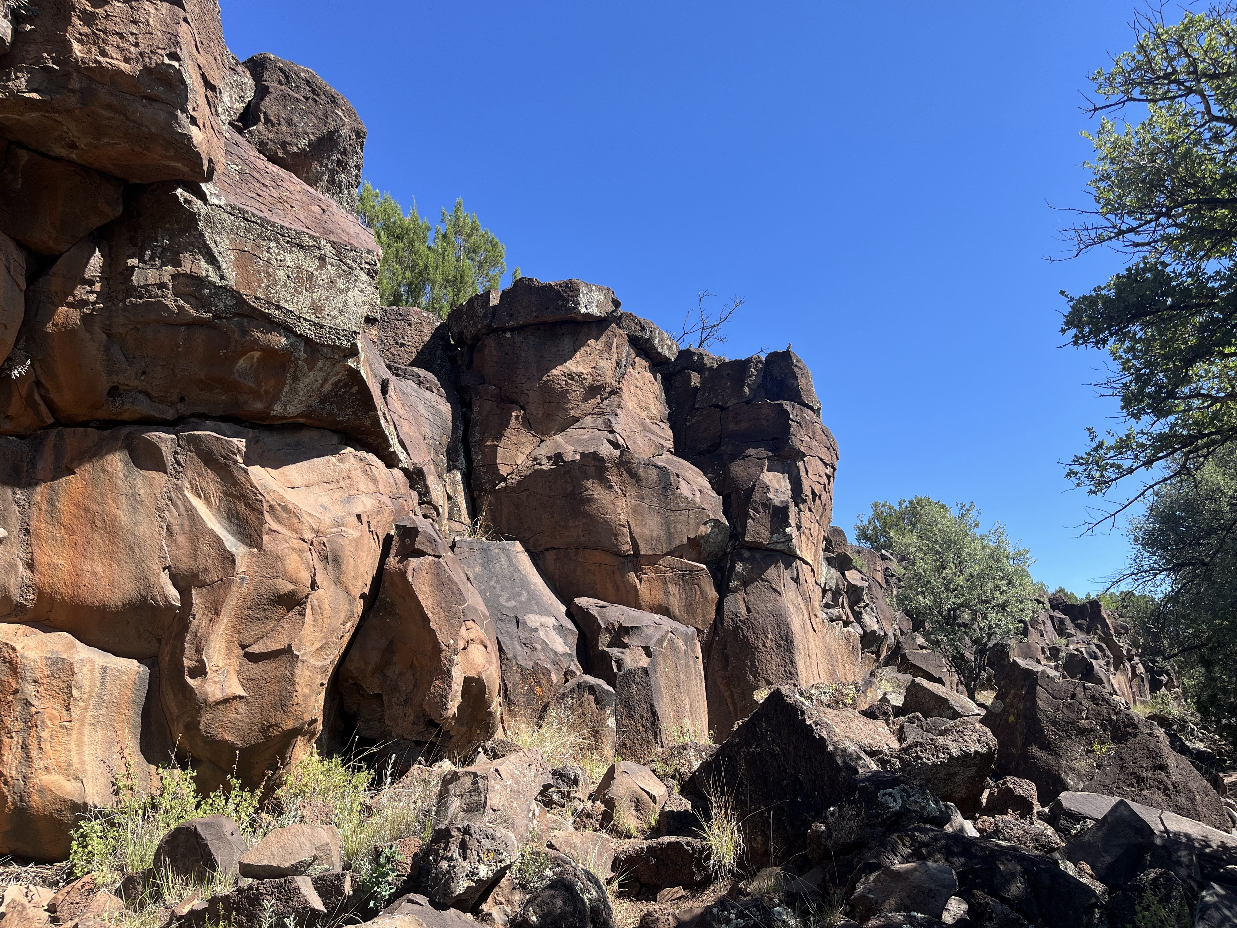
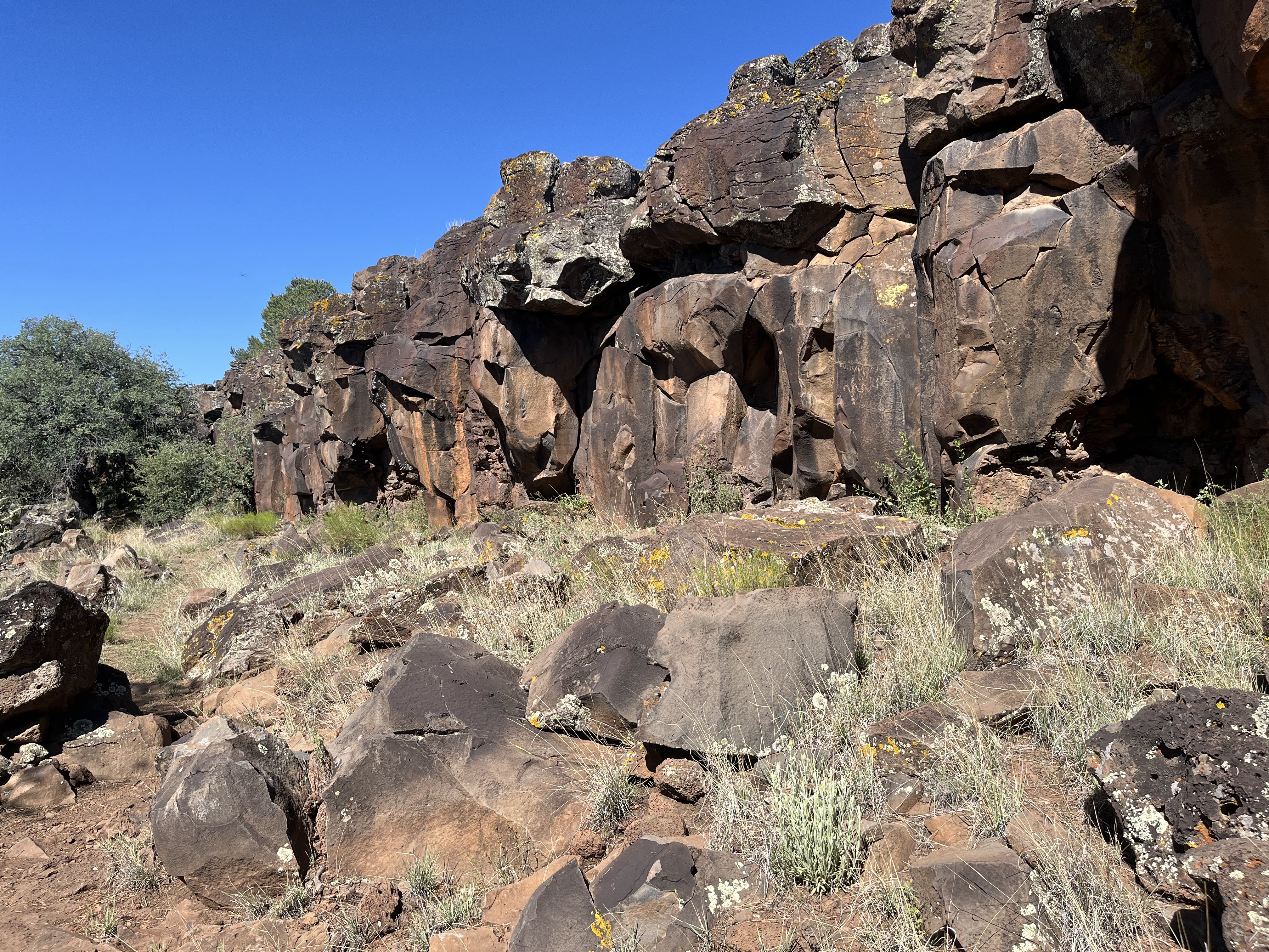
The second hike started off of FR 13 which follows Caballeriza Canyon before going over a divide and ascending to Slaughter Mesa. Initially I drove past the where the CDT trail meets the road. There was just a plain wooden post on the south side and no other indicator. When I got to FR 5, I knew I had missed it and did short backtrack and parked. The trail descends steeply to the canyon bottom here, and there are several large downed trees that obscure the tread as well. We were doing a loop and would use the CDT as our return leg but to start we headed up the along the stream which although it could be considered "flowing" here was mostly mud due to the heavy trampling by elk and livestock. I didn't take a picture. Sights like that make me sad. In such a dry forest any water should be treated as especially precious and more should be done to keep it running. We followed the cow path past a huge spreading oak, and then around the tank.


I could see a cinder block structure which I assumed was built over the spring. The area around it was fenced, but in several places the posts and wire were laying on the ground. We turned to the south and began using an old road for hiking.

When it went up on the sunny hillside, we stayed in the shade of the valley. Eventually we crossed over back to the east and found the tread of the CDT which would take us north and back. The trail through this section has no signs or blazes and probably doesn't see a lot use, but the tread was easy to follow. After climbing on a mostly straight line to the top of a low ridge, it made a couple of switchbacks to bring us back down to Caballeriza Canyon. We walked downstream for bit to a second dry tank, before returning up the hill to the road and the truck. It was another very warm day, so it was another short but sweet hike.
 |
| CDT Trail |
Labels: fall colors, hiking
posted by Devon Fletcher at
7:35 PM
0 Comments
![]()
![]()