Wednesday, June 3, 2020

Tabira ( Pueblo Blanco), Pueblo Colorado Ruins - Cibola National Forest


They say "getting there is half the fun." For me it's more like figuring out how to get there. Since there is so much secrecy and such surrounding un-manned archaeological sites the  general process runs like this:
1. Come across a clue or have an idea  that something exists.
2. Research to confirm it does actually exist.
3. Do research to find out where it does really exist.
4. Do more research to be really sure of the actual place where it exists.
5. Figure out the best, easiest and quickest way to get to that place.
7. Go.
8. Get thrown off by non-existent roads, locked gates, missing landmarks etc.
9. Find alternate route to place.
10. Arrive
 In specific while looking back on our trip to Chupadera Mesa last year, and trying to figure out the name of the canyon we hiked in, I saw a nearby place called Mesa de los Jumanos. Since Chupadera  Mesa is a type locality of certain pottery sherds, and since the Gran Quivira mission and pueblo ruins are nearby, I figured this Mesa de los Jumanos might have something to offer.
 I was off and running. Finding  an old Forest Service booklet online gave me the names of two places: Tabira  or Pueblo Blanco and Pueblo Colorado. Doing more searches and then hitting the maps, I saw there was  a Pueblo Blanco Canyon, a Ruins Windmill, and Ruins Tank. Pretty good indications that the ruins were nearby. Fairly quickly I found the ruins site on Google Earth.
 The second pueblo was more tricky. In that case the map and On-X indicated ruins on a small mesa ( sitting on top of the much larger Jumanos Mesa).  I couldn't really see on Google Earth where there was any ruin that would fit the bill of the large Pueblo Colorado I had read about. I kept looking along the  road that leads to the little mesa. Nothing. On top of the hill there seemed to be an area of ruins, but it was very small. I finally went back to the Forest Service booklet, and figured out from a description I had overlooked that the ruin on the mesa was southeast of Pueblo Colorado and is only called LA 2091 in the pamphlet but is also referred to as Pueblo( or Pueblito) de la Mesa. It was quick enough work to find larger ruins area now.
 Off we went on Sunday morning,  with my route going as planned until we hit a " Private Road " sign well before entering the forest. Now we had to backtrack, planning on the fly our new route.
 It went remarkably well. There was a few bits of confusion, but nothing that got us way off track or took up too much time. My original plan had been to approach from the south and see the mesa top ruin and Pueblo Colorado first. Now we were coming into the forest from the east, so we decided to look at Tabira first. The road situation was a little strange  as we were getting close, it split into two routes with a barbed wire fence in the middle. They ran mostly parallel. At a gate( not locked), we realized  the route we were on, would diverge( using On-X) from the ruin. We also realized we were really close, so we parked, got through the fence and walked the short distance on the opposite road and then up a side road to the locked ruins gate ( the entire pueblo area is fenced), where there is one of those V-shaped hiker entrances. We came up to a very nice informative, well preserved sign, which seemed strange as I am sure that very, very few people ever bother to come here.

 We read and then shortly thereafter spied our first piece of pottery.

The walls everywhere were just pile of cobbles amidst the junipers and I assumed the largest piles were the walls of the Spanish mission church on the site ( which was "lost" for hundreds of years, the center of a  fascinating archaeological mystery that was not solved until 1960).


Besides many types of native pottery, there were elaborately painted and glazed sherds that may have come from Mexico or even Spain. We wandered around in the heat (thankfully mitigated to degree by some cloud cover) and humidity and then  it was back to the 4Runner to go in search of Pueblo Colorado. We arrived about a half hour later ( a 10 mile trip) with only one minor snag. We  came to a similar gate with a pedestrian entrance and were greeted by a second lovely sign and then quickly thereafter encountered the largest piece of pottery we saw at either site.


 This was a considerably larger site with many mounds covered with stubby sage within the fenced area which  had to be over two acres. I had seen a drawing of the layout of both sites but on the ground it was hard to tell where anything was, and we never could find the area that was the great kiva  on the site.

 We were at about 6500 feet elevation, but the heat ( near 90 when the clouds disappeared) coupled with the humidity felt searing.
 I looked longingly at our third destination LA 2091 that sat upon a knobby little mesa just a mile distant, knowing that with the heat and time running short, we were not going to visit  it today.
Still it was great adventure.

 NOTE: A word about the roads in this part of the forest is in order.  Even though the area is almost completely flat, the sand (more like silt, as in clay) was very deep in places and there is no doubt that these primitive two tracks become a muddy mess when wet. We know this because in many places use"ways" have become the actual road where the old route  is nothing more than a horrendous trench revealing deeply the layers of soil like an open wound on the land. Once the new route gets established it appears that the Forest Service or  the rancher comes in and cuts the juniper and piñon branches ( there was dead brush everywhere)  on either side to make it look more official. You definitely will need four-wheel drive if there has been snow or rain, so perhaps Spring and Fall may be the best times to visit.

Labels: , ,

Thursday, May 7, 2020

Lincoln National Forest - Lucas Canyon revisited


 Lucas Canyon is as beautiful as ever, although I was saddened that there were vodka bottles and toilet paper strewn around the trailhead parking, as well as tire ruts from a vehicle in the streambed about a 1/4 mile in. There always has been  people who don't know how to behave in the outdoors, right now though, there is definitely more of them taking their irresponsible life style to our forests. One thing I'll  be happy about if we ever get back to "normal" is that most of these folks will go back to doing whatever it was they were doing to entertain themselves before, instead of abusing our natural areas.
The last two times I've come here to the lower end, I've been opting for using the wildlife and livestock trails that stick close to the stream course rather than following the  road ( trail) which goes high up on the hillside before bringing you back down at the big meadows about 2 miles in. It's quieter( putting trees and distance between you and motorized users) for sure and there are many more springs to see, although most had only a weak flow at this point so that the stream only had  running water in a couple of places past the road crossing,
 On the way out we used the two  cow trails close  on either side of the stream. The route was mostly open and bit warm, especially since we got a late start after fixed flat we incurred on Russia Canyon Road. We stopped at the beginning of the big meadows and instead of returning exactly the way we came, went for the elk trails in the shady forested hill sides above the stream. There were some truly large trees, doug firs and spruces, to greet as we marched along. At times the path we chose  was well traveled and easy to follow, at others it would disappear and we  would have to be stepping over the abundant aspen downfall as we made our way through small meadows. Eventually we hiked steeply back down to the creek bed, crossing a small spring flowing in rocky ravine, to then retrace our first 1/2 mile or so back to our vehicle.
 NOTE: Please excuse the very poor quality of these photos. I'm not sure what was going on that day. For a better idea of what Lucas Canyon looks like see my previous blogs about it.

Labels: , ,

Wednesday, April 29, 2020

Cibola National Forest - The Gorge, San Mateo Mountains


  I saw the name of this place two years ago either on the Cibola National Forest map for the Magdalena District or on the forest service topos I have on my MacGPS Pro app.  Who can resist a  place called " The Gorge?"I tried to visit there last year but was prevented as the area was part of a closure order due to the Roberts Fire. Well sometimes things like that stick in my craw, so I off I went on Saturday ( 4/25/20 ) for completion's sake to do this little adventure hike.
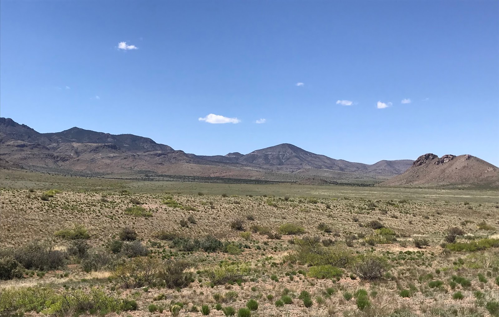
 The driving was all good, even though I got onto NM 1 an exit early, until the descent into Nogal Canyon on FR 86 when things slowed down considerably. There was spot of water at the road crossing, and downstream was a dark and narrow box section that I would love to visit. Unfortunately it is on a section of private land which several signs I had passed attested to, although passing through on the road is allowed. Up out of the canyon, FR 86 follows a fence, that separates public and private land for awhile as it descends through a vast area of open grasslands.

 Right after opening and closing the last of one of three gates through this section, there were three hawks, less than 30 feet off the  ground, actively engaged in some sort of squabble above the shallow arroyo just below me. A love triangle was my suspicion, but I don't really know. I initially passed the road I needed to turn on to head west toward the mountains, and then passed the road I needed to turn back to the north to go around the west side of Bell Hill.  In the first instance I just had my mileage wrong, but in the second,  the roads, which are very seldom used, had greened over with plant life  from our spring and winter rains so much, that dirt two track was hard to see. After backtracking  I did find this very rough un-numbered and un-maintained road where soon enough I put the truck into 4  wheel drive.
 I made it out to Steel Tank where there were cows hanging around the water supply. This was where I was supposed to turn to the west again to drive to Dick Spring but I really couldn't see the road very far past the intersection. Wildflowers, weeds and even a few center line, sawed off mesquites were almost completely concealing the tread  which I'm sure in dryer years would be easily visible. I headed out, concentrating, much more than I anticipated, on staying with the trace of the road, and hopefully not making a new one. Once it began ascending, and then descending the hill  that eventually brought me into the vicinity of Dick Spring, the  ruts were plainly visible which was a relief.
 I parked at the intersection with an old mine road that heads up into the mountains and before two more stream crossings which after looking at them while traveling on foot was glad I omitted. I saw an old metal storage tank, some black hose, abandoned troughs and twentieth century trash on the short trip across a rocky mesa.  Three, good sized, shaggy looking deer popped out from behind the shrubbery, gave me a look and then went on their way. I found a place to walk down to the canyon bottom and then off I went upstream.  I weaved through the boulders following a bleached, algae strewn trail  where water had flowed only a few weeks earlier. The wet stuff popped up in few stagnant puddles in a couple of places as well.
 I made it to the fork where The Gorge separates into north and south branches. I went for the north first. Quickly I was  in  a deeply shaded tunnel- like passage where a huge old walnut tree was still managing to survive.


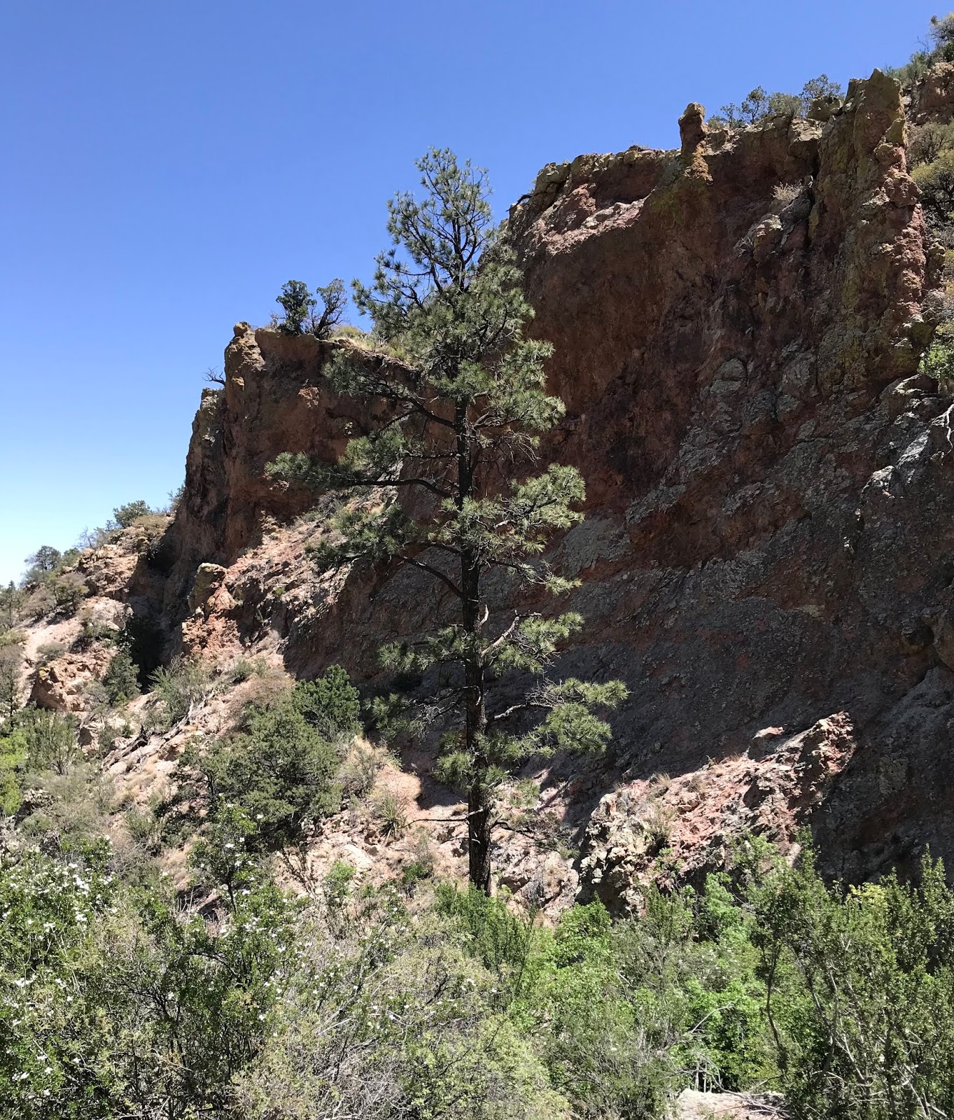
I passed under an archway created by a large chockstone wedged in the narrow walls of the canyon above me. A small amount of water was trickling over bedrock into sandy pools through this continuing shady and skinny section, but eventually as I emerged into the sun the surface flow disappeared beneath the boulders and gravel. Up above on my right was tall alcove with a steep apron of gravel and boulders coming out of its entrance and reaching all the way to the stream bed.

On my left I thought I had seen  a natural arch high in the rusty cliffs earlier on, and now in the bottom of the creek, I couldn't see up there at all to confirm. Later while checking out the cave and alcove on the opposite side I would realize it had been  just a trick of the shadows and morning light.
 It was very thick going through the blooming apache plume and I had to climb several boulders that clogged the passage, but I made it to the waterfall I knew would be there. It was just dripping, but the big cold drops felt good on my head. I reached out to steady myself on rock and felt something odd. On closer inspection, it was a chubby toad, almost invisible, with skin completely matching the texture and color of the rock on which he sat.


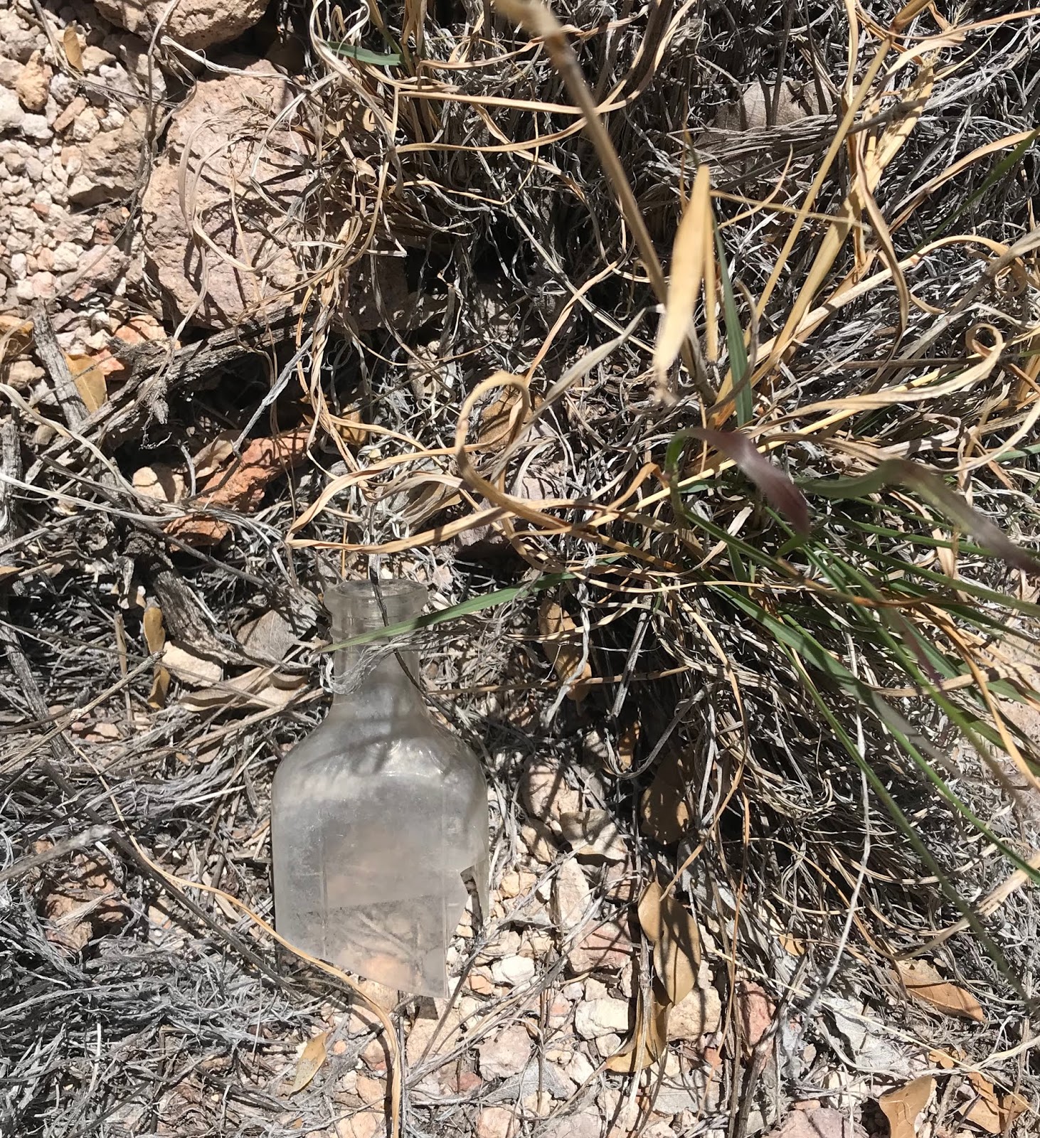
As I headed down, I angled out onto the north side of the canyon heading for the alcove I had seen earlier. On my way I found an old broken bottle which assured me I was not the first person stupid enough to come here. Scrub oak tree leaves glowed orange in the sun. Dried grass and gravel crunched beneath my boots. I arrived at a cave, not visible  from below, where two juniper limbs were propped up from ceiling to floor. It was large and high enough to easily walk in and had a flat floor where a metate sat dumbly with several rusty paint cans nearby.


I examined the gravel as best I could for other artifacts. My eyes were having trouble adjusting to the dark of the cave from the intense sunshine immediately outside it. All I could see was anonymous gray gravel. Leaving, I saw an aluminum tin with a pull top ( probably bean dip) that let me know someone had been here in the last 50 years. Then I spotted a piece of ancient pottery, black with incised lines, just for contrast.

 Now I headed over to  the big alcove, but was immediately disappointed to see that it had no flat floor, just that steep talus slope. Somehow I crossed over where sotol and grass clumps stabilized (hopefully) the loose rock, to the far side and tried creeping along the bedrock wall to get a closer look. A rattler that I never saw gave me a brief shake of his tail as I went, not an encouraging sign. I ran out of hard rock, and nerve. My only choice now would to be get on the gravel slide itself, but I had strong sense that doing so would have me at the creek bottom in short order. There seemed to be flat bench-like surfaces at the back of the cave tempting me to continue, but I carefully changed my direction and crawled back, gave the snake a wide berth and walked out onto a navigable prow of grass and rock to make my way downward. Eventually, much closer to the bottom, I had  to step lightly over the large rocks at the edge of the slide and onto the loose gravel where I did the first of two involuntary glissades that day.


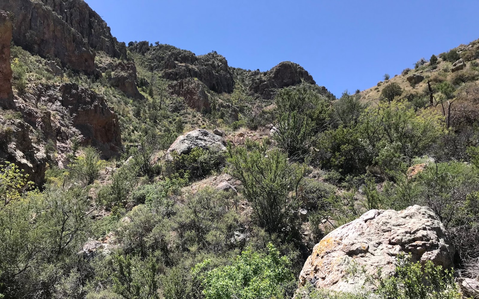
 Now I was off to the south branch, which, since it faces slightly northeast is thickly filled with  abundant, dwarfish greenery such as chokecherry, deciduous oak, mountain mahogany, cliff fendler bush and walnut.


Like a giant among them was very tall, very straight fir tree looking quite out of place at 6400 feet elevation.

The going was so  tough that I lugged myself up on the hot north side of the canyon just to have some clear walking for awhile.Water ran in a few spots. I drank  my own in the  shade of cliffs. Big circles of recently deposited bear scat  cropped up every  100 yards or so. I had heard a creature kicking the gravel loose escaping up the hillside early on, but never saw it. The disturbance seemed too small to have been a bear, but who knows, from experience I know they can  be  very light on their feet when they want to be.
 I thought there would be more water in this branch, but there wasn't. I also thought I might encounter another waterfall, but I didn't. It really wasn't that much fun, with  one hard fall emphasizing the point. The constant appearance of butterflies of all kinds, and the canyon wrens laughing at their foolhardy visitor kept the mood mostly light throughout though.
 I headed back, and before the slow drive, poked around the spring area a bit. It had been a tough little 3 mile scramble. So much so, I put it into the  "do as I say, not as I do " category of hikes. It's highly unlikely I will return, but it was a good day in the mountains. Better than some, worse than others. At the "Welcome to Cibola National Forest sign on 225 I ate lunch and then headed home.

Labels: , , ,