Tuesday, March 31, 2015

Gila Wilderness - Natural Arch Canyon near Lake Roberts, Gila National Forest


The arch
Spurred on by the contagious excitement my friend Doug Scott  has for slot canyons, and my recent recollection of a long ago hike to Purgatory Chasm( see the entry in this blog) a kind-of slot on the northeast side of Lake Roberts, I began to study Google Earth and my topos looking at potential slot canyons along the Mimbres and Sapillo valleys in the Gila. It began to look like there were  several more or less right  next to Purgatory Chasm to the north and northwest of Lake Roberts that warranted investigation. All of them flow from  north to south into the lake itself or into Sapillo Creek west of the dam. One of them, the furthest to the west, looked particularly compelling to me.
 I parked at the Vista Village parking lot( or Austin Roberts Vista parking lot) right off of NM 35, and immediately headed north on the grassy juniper studded mesa.  I came to a very old " Gila Primitive Area" sign at  a fence passage for hikers. Whatever road or trail that once came this way has long  disappeared. Shortly afterward, I  began crossing the  the upper end of one drainage and then ascended to a narrow mesa to cross a second. Both of these canyons had slot potential downstream, but I was determined to see this other canyon. If you're wondering why I was taking this upland route, it's because the mouth of that canyon as well as the two I crossed are on private property, which was very inconvenient  and helped to turn much of my day's hiking into a trudge along mesa tops instead exploring down in the canyons.

  Eventually, I reached a small crossways saddle, where I began to descend a very small  side canyon that would lead to  the main canyon that I was after. It had an active spring, and heavy vegetation in its upper reaches, but eventually turned into a short bedrock slot that took us( Seamus and I) to the larger canyon. We first explored upstream in the much larger and deeper canyon, which had flowing water and willow growth in its bottom, although it was still mostly bare conglomerate bedrock. We were stopped from further progress by a waterfall and  proceeded to turn downstream. As we were arriving at the deepest( between 60 and 80 feet ),  most slot-like section, we were stopped by another waterfall. This one was more of straight drop than a slide,with a pool several feet deep at the bottom. I contemplated the situation for long time- wondering how I could get myself, my dog and my stuff all safely down. I decided, with much regret , that it wasn't a good bet, and now began to backtrack.
Seamus in a side canyon to Arch Slot

Falls that seemed to be the end of the slot

Natural Arch Slot

Seamus dwarfed by the clid

 The waterfall that stopped us - higher than it looks in this photo

We found a soil filled crack on the east side that allowed us passage up to the top, and let us forgo using the the same canyon we had come down. Back up on the mesa we searched for awhile for a way back down  into the canyon past the waterfall that had stopped our progress. Nothing in the immediate vicinity looked very safe or promising. I hated the idea of easing my way down a treacherous side ravine only to be stopped at another high pour-off. So we sat down in the shade of the pinons, junipers and mountain mahogany, to rest, get our bearings and come up with plan B.
 We were now right above that dastardly, above mentioned waterfall, when I noticed a lovely little natural arch right in front of us just across the canyon. It was right at the spot I wanted to explore most, where a side slot met the main canyon. I kept thinking, there might be another arch or a natural bridge in the side canyon, but the  maze of rock ribs and walls prevented me  from knowing for sure. Seeing the arch was a nice compensation for not getting to explore down in the canyon bottom, but not nearly enough. We began to head back.


The little arch


Labels:

Thursday, March 26, 2015

Sandia Crest Trail( FT 130)- Sandia Mountains Wilderness, Cibola National Forest


Tunnel Spring

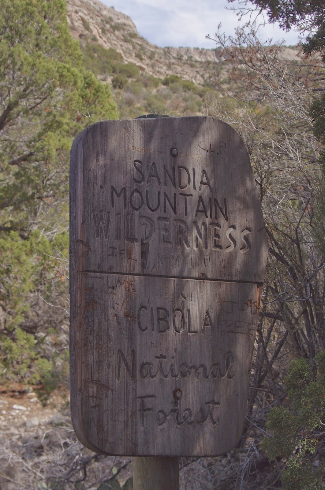
  We did this hike this past sunny Sunday( 3/22/15), starting out at the Tunnel Springs trailhead on the north end of the mountain range near Placitas,NM.  Early on, right at the Sandia Mountains Wilderness sign, a use trail( called  the Al Orno trail by some), branches off to the south, going straight up a long ravine. We didn't take it, but continued on the main trail east, side-hilling in and out of small drainages right about at the level of geologic uncomformity which separates the  precambrian granitic rocks from the much younger paleozoic limestones.  We had views of Placitas below. In the middle distance were the Ortiz  Mountains, and far  to the northwest, the still white peaks of the Pecos Wilderness. Large mormon tea bushes grew along trail.
  Eventually we turned back to the south heading up the side of a narrow ravine that is a tributary of Arroyo Colorado. On top  of the gradually sloping mesa, we continued along amongst the pinon and juniper forest. One thing that surprised me here- was the complete lack of larger trees( ponderosa pines, douglas firs etc). After all, we were on north facing slopes on the north end of the mountain at an elevation I would have though was high enough to grow a forest of larger trees.  I pondered this, and finally concluded different factors must be at play than in our forests here in the southern part of the state, where heat kills, and  where there is often  remarkable contrast  in vegetation between north and south facing slopes. Here, further north, perhaps the colder north facing slopes don't allow for larger growth. Perhaps, also, the range is so narrow,  unlike the Gila and  Lincoln National Forests down here that only  the very highest elevations receive enough moisture to grow large trees.
  The bottom line is, this hike is very open, I could see, even in mid- March, how heat could be a substantial limiting factor on its use.
 Eventually, the trail climbed back to the west then zigged  to south and had us walking in the shadow of some  massive limestone cliffs( here in the shadows at least some larger pinons grew). We passed the trail that comes up from the ravine and shortly thereafter stopped at the bottom of the V the trail was making and ate our picnic lunch. We had one group pass us. We saw another that we had passed opting to take the ravine trail down.
 After lunch, we continued upward until finally views of the high elevation peaks, the very head of Agua Sarca Canyon, and in the distance snowy Mt. Taylor came into view. This was our turnaround point. Right when we were coming back to the where the ravine trail goes down, we met a man who had come up. We inquired as to what the trail was like. He must have said " steep" one too many times, because my quickly decide that it was not going to be good short cut for her, and we went back the way we came.
 This was okay hike, but  needed a lot more going on to be a good or great one.We did see six or seven small groups of humans and canines in about 4 hours, but it is definitely not crowded despite its proximity to Albuquerque and its suburbs, which was a plus. It was good to get out in the mountains- as always.


 Mormon tea


Labels:

Tuesday, March 17, 2015

Purgatory Chasm Trail ( FT 779)- Gila National Forest

 We hiked this trail many years ago. We were staying at the Bear Creek Cabins in Pinos Altos for  a long November weekend. Unfortunately, the weather did not co-operate with us one tiny bit. It was cold, windy, cloudy,  and dark with the occasional sputtering rainfall thrown in for good measure. We drove around a lot and somehow snuck in this little hike.  I remember there were  pine ladders in a couple of spots on the descent through the slot section of the hike. I also remember there being water here and there, which surprised me. We came upon  a fox,who looked as unhappy with the weather as we were. He was  above us in an alcove in the cliffs. across the small canyon. It was a bit strange,because he didn't try to hightail it away from us, but instead waited for us to leave.
 The reason I'm thinking of this hike now, is my new interest in finding slot canyons here in the southern half of the state and the canyons directly to the west of Purgatory Chasm look very interesting to me. If anyone knows anything about them let me know.

Labels:

Dragonfly Loop Trail (FT 720) - Gila National Forest

 
On Sunday morning after eating at Diane's on Silver City's Bullard Street. We returned to  the Dragonfly Trailhead. This time to do the Dragonfly Loop itself. There were several vehicles already in the parking lot, and we though it best to let  a group on horseback get a good head start before setting out, still we only met maybe 10 or so people over a little more than two hours, which both my wife and I thought was great for a trail so close to the city. It may be much busier at another  time,but we were walking with no one else in sight for most of the hike.
 The trail is initially over gentle pinon- juniper grassland terrain and heads in northeasterly direction. Eventually we headed down hill where the trail turns back toward the south and begins to follow Twin Sisters Creek. This was the nicest part of the walk. The  creek flowed in a healthy riparian zone no longer subject to grazing. Large cottonwoods were beginning to bud out. Cress grew along the water's edge. The stream, at times, flowed over  smooth bedrock slides into pools close to a foot deep.


As the channel narrowed between cliffs of orange rhyolite porphyry banded with  a grayish layers( also volcanic) we arrived at the where the petroglyphs dwell. After photographing the dragonfly, we looked around the low cliffs and boulders and found a few more. There wasn't a lot, but we weren't being at all thorough, which is nice sometimes, because it leaves one with the feeling of wanting to return.


 We continued walking, crossing the creek,which eventually dried out,  a couple of times. The trail eventually took us back up  out of the creek bottom to a little promontory overlooking some huge cottonwoods, where we took in views of Black Peak, the Twin Sisters and Humboldt Mountain. Everyone we met was happy to be out( as were we) on this glorious spring morning underneath the blue sky, white clouds and warm sun. And even though it was March, the wind was only minor factor, never blowing hard or long enough to distract us from our enjoyment of this lovely place.


Labels: ,

Old Highway 260( FT 260) , Ft. Bayard Cross Country Course( FT 722) Loop Hike- Gila National Forest

We did this hike of about  3.5 miles on Saturday afternoon( 3/14/15). Starting off from the Dragonfly Trailhead parking area, we headed southeast on un-named connector trail. Just when we thought the trail was just going to go out to the Highway 180, it took  big curve down to Twin Sisters Creek. I think this segment was on the Cross Country Course( FT 722). We then headed north on a use trail that follows the creek. There was just  bit of water amongst the rocks in this section, and all the riparian vegetation was just beginning bud out.  Other use trails branched off in between bouldery hills, but we continued to follow the stream. I was surprised to see  old bridge abutments  across the creek which marked the beginning of the Old Highway 260 Trail( FT 260). We didn't really know where we were,having only taken the briefest of  looks at the trail map before setting out, but I had a good feeling that this trail would take us back to our truck. We marched along on the broken asphalt heading back west and unbeknownst to me directly back to our starting point. This is pretty little hike,if you're expectations aren't too high, through gentle terrain of grasses, juniper and bushy, green pinons. The wind blew a bit but not distractedly so, and we were back in plenty of time to make our dinner reservation at Silver City's Shevek restaruant.


Labels:

Sunday, March 15, 2015

Percha Creek Box and Beyond


The balance of our hike( when not in the side canyons) was, of course, along Percha Creek, which had many of its own features to  delight us. There were the 100 -150 foot ribbed cliffs of pink conglomerate. One of the ribs, we discovered, had a natural arch, well more like a hole, that Doug climbed up about 60 feet in a  steep swale of rough rock to photograph. Closer to the ground there were some small arches in a  thin wall of rock at the mouth of a side canyon on the south side.


Further  along there was  the lovely ruin of  cabin built of river stone. Along lower cliffs on the south side were alcoves and hackberry trees with huge multi-branched trunks. The large cottonwoods and the streamside willow were barely budding and watercress was only here and there in the stream,and I thought of braving the heat  and snakes on some future day to visit this place when it was leafed out and green.


 We finally made it to the Box where springs gushed and dripped from the bottoms of cliffs.The stream narrowed considerably here as it rushed along polishing the boulders and bedrock to high sheen. The stream bottom was quite altered since my last visit- the abundant sand and mud stripped away by floods leaving once calm creek flats a jumble boulders mixed with much organic debris.


 We followed the road up out of the box and back to our car.  We had probably hiked close to a dozen or more miles and had been out for 7 hours. I looked to the east and finally the light was perfect. I took a shot of the rolling hills that border the creek, and then another to the dark Caballo Range in the distance. Important Note: most of the land in the Percha Creek bottoms east of the Box, although not posted at this time, is shown as private property on official maps.

Labels: