|
| South Rocotillo |
 |
| Apache Canyon |
 |
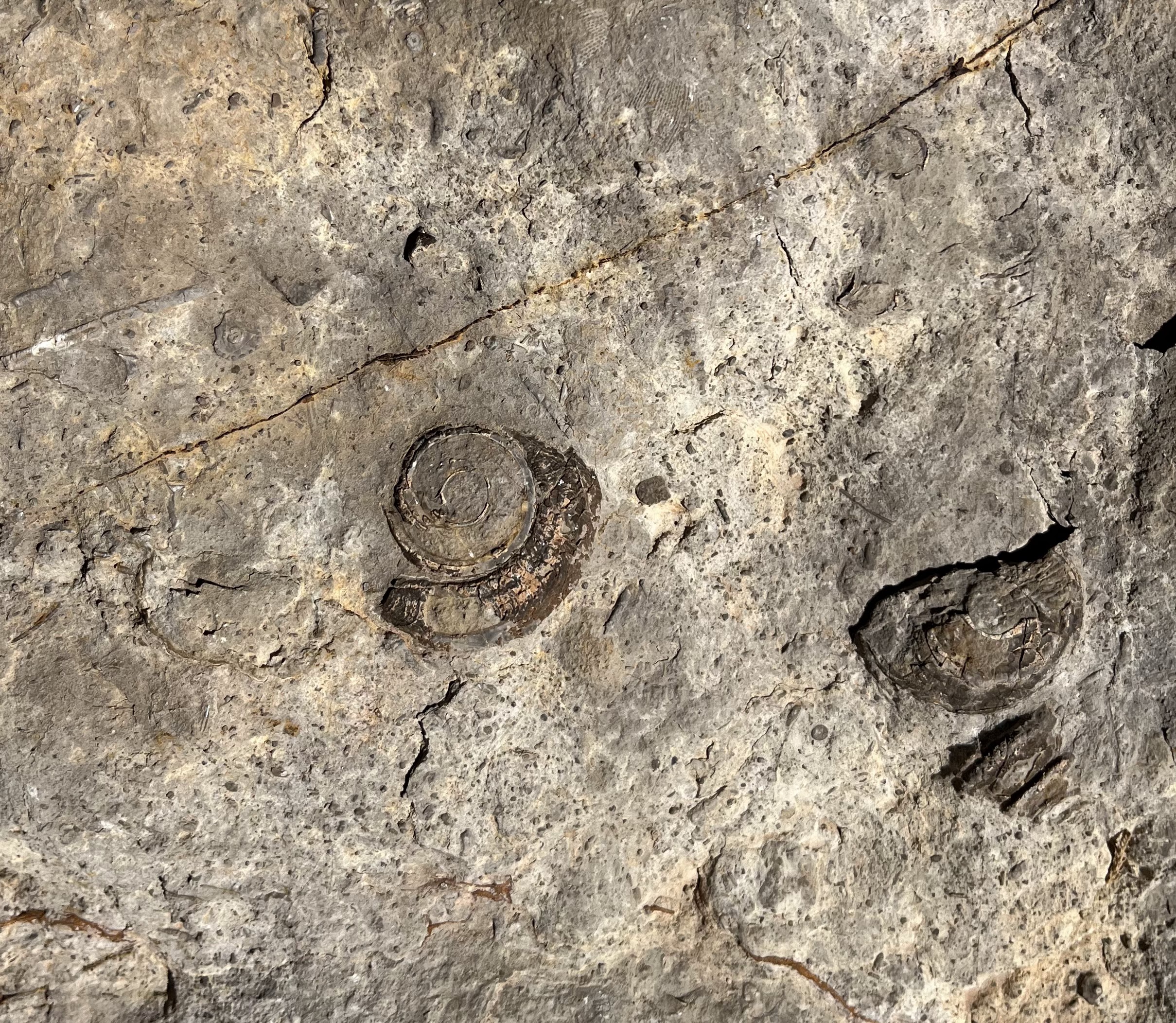
| Robledo Mountains |
 |
| gastropod fossils |
 |
| Little Apache Canyon |
 |
| brachiopod fossil |
 |
| Rock fall in Little Apache Canyon |
 |
| South and North Rocotillo Canyons |
 |
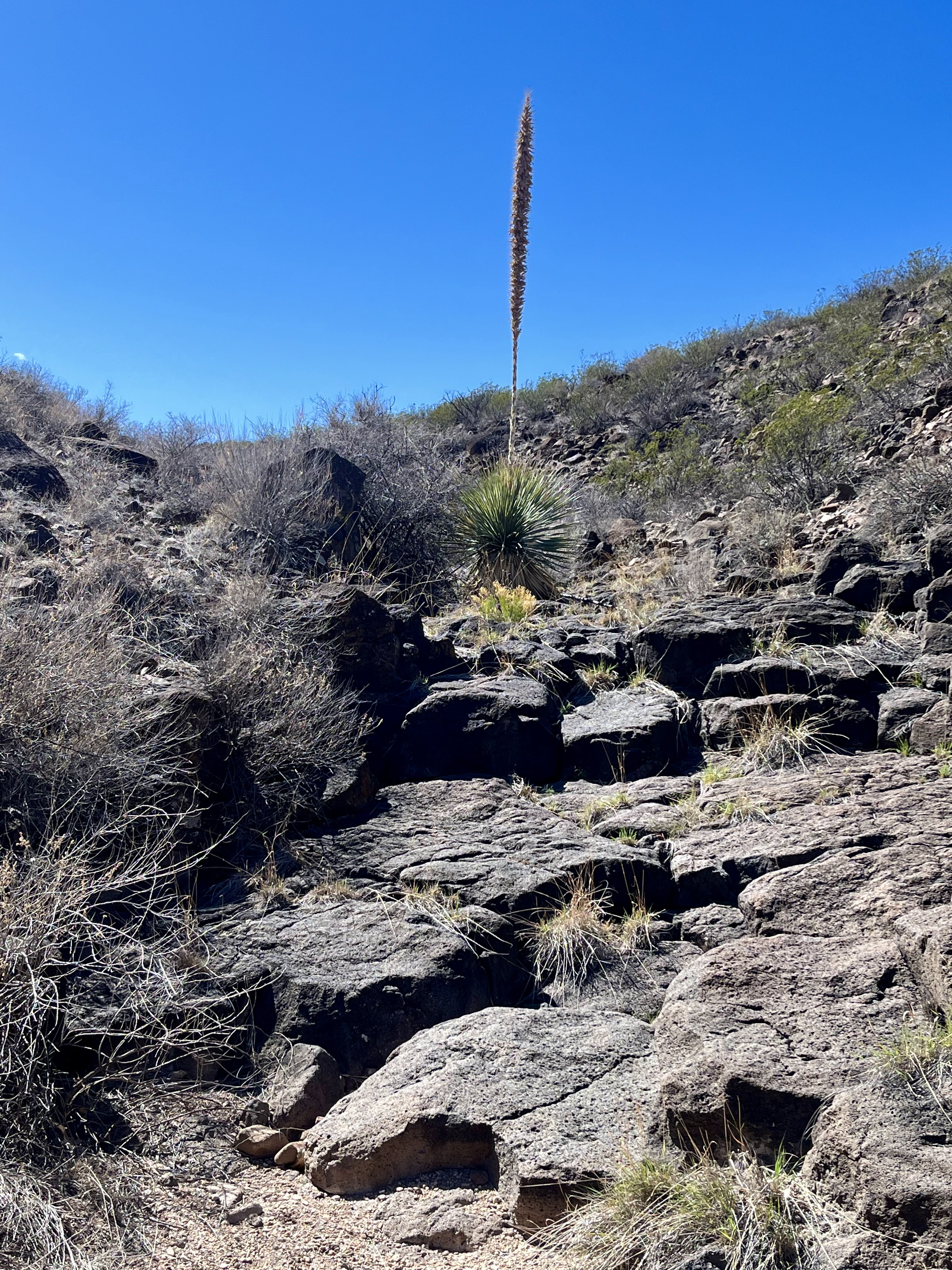
| Picacho Peak |
I needed to get out quickly before the predicted wind hit. My previous two hikes on this spring break to the Good Sight Mountains, and then the Florida Mountains, involved long drives. That wasn't going to do. I had been slightly intrigued by the narrow passage of Little Apache Canyon in the Robledos while researching another hike earlier this year. Without too much agonizing I just went for it.
I came at it from the east side, first going up South Rocotillo Canyon, where I encountered a stranded and or abandoned vehicle. It looked in good working order (no obvious damage). I looked in the windows all the way around- nobody home. On my return trip it was still there with no one around. I contacted the BLM about it later. Don't know what the story was.

I veered out of the canyon and up over a hill into Gypsum Canyon and then up over another hill and down into the main Apache Canyon where there was a reasonably easy way up just north of the volcanic plug there.
 |
| Basalt plug. Picacho Peak in the distance. |
Finally arriving in Little Apache creek on the other side of the ridge, I headed upstream. It's was pretty tight back in there as the canyon squeezed me into a narrow passage through cliffs of sedimentary rock. I had to scramble up a dry waterfall cut in blocky limestone, above which the canyon took on the rather dreary anonymous look of many of the dry washes that vein through the Robledos.
 |
| Dry falls |
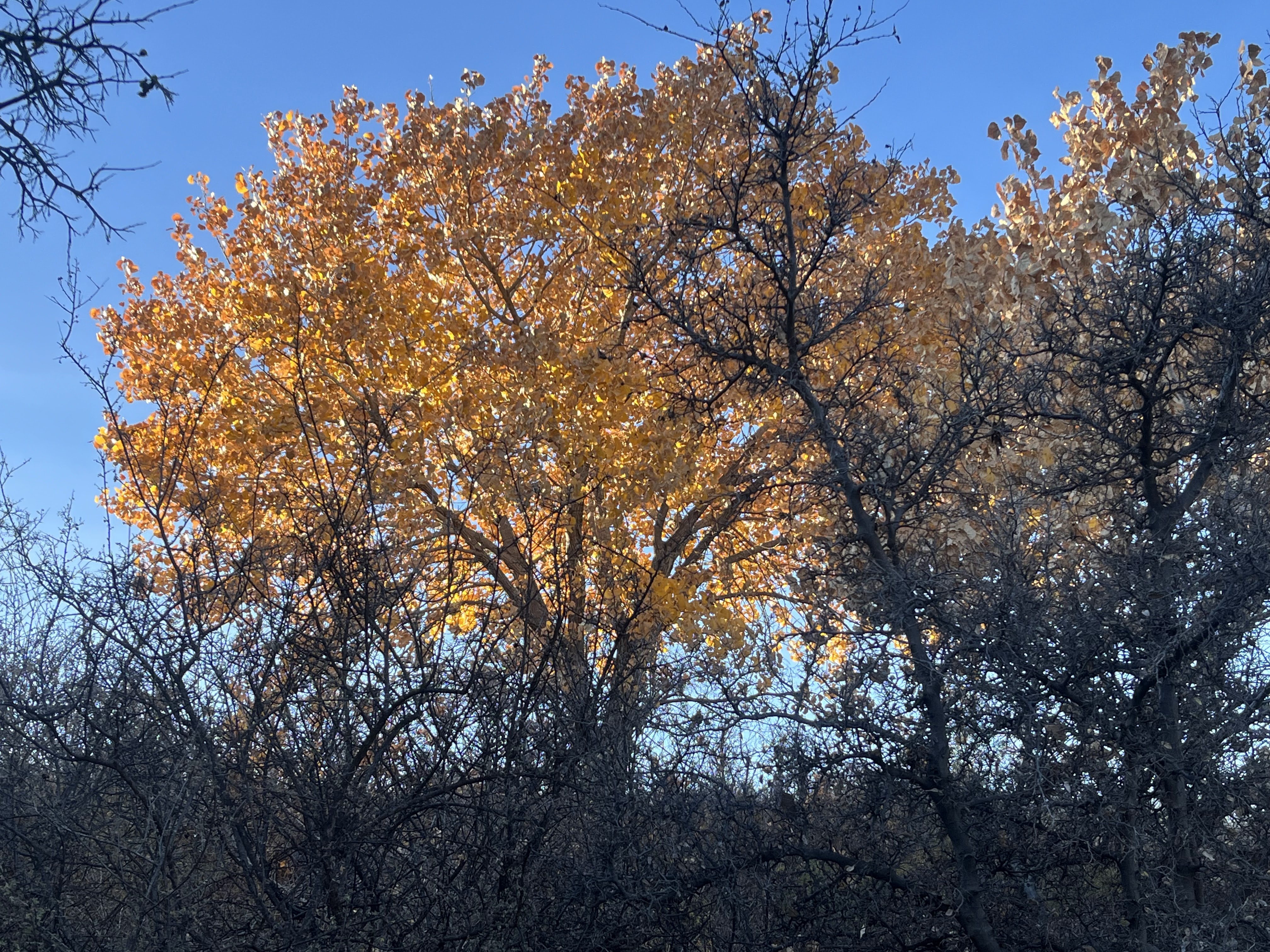
I got back up on the ridge and decided on a slightly different route back to my trailhead. The best parts of the trip back were a too brief trek in the main Apache Canyon and two of its tributaries, and the magnificent views down into South Rocotillo Canyon. I thought sticking to either one of these would have made a better hike than the one I chose. Those trips will just have to wait for another day.
 |
| South Rocotillo |
 |
| Apache Canyon |
Labels: fossils, geology, hiking, Pre-historic Trackways National Monument