Wednesday, July 31, 2024

Cibola National Forest - Goat Spring Pueblo


Rubble pile. Short arm of the L. Bear Mountains behind.

Isolated rubble block. Magdalena Mountains in the distance.


Looking towards the spring area. Borrow pit (?) depression

Pueblo rubble. Ladron Mountain (Sierra Ladrones) in the distance.

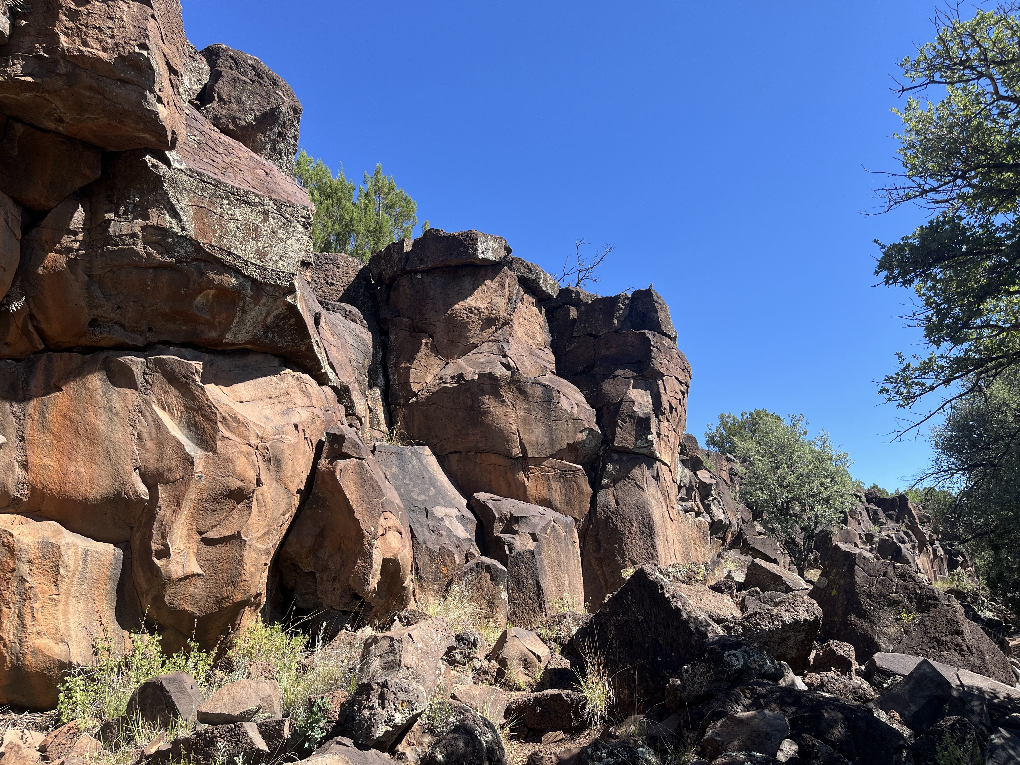
It had been a cloudy, rainy weekend, (the monsoon having arrived just a bit early in the last week of June) and I was hoping the clouds would hold out long enough for us visit the Goat Spring Pueblo site on our way back from the cabin at Horse Mountain.They did. Sort of. When we go to the site it was in the mid-seventies. It was a very short walk from where we parked, our footsteps crunchy on the extremely parched weeds, rocks and soil ( the rains had not made it to this locale on the east side of the Bear Mountains). 

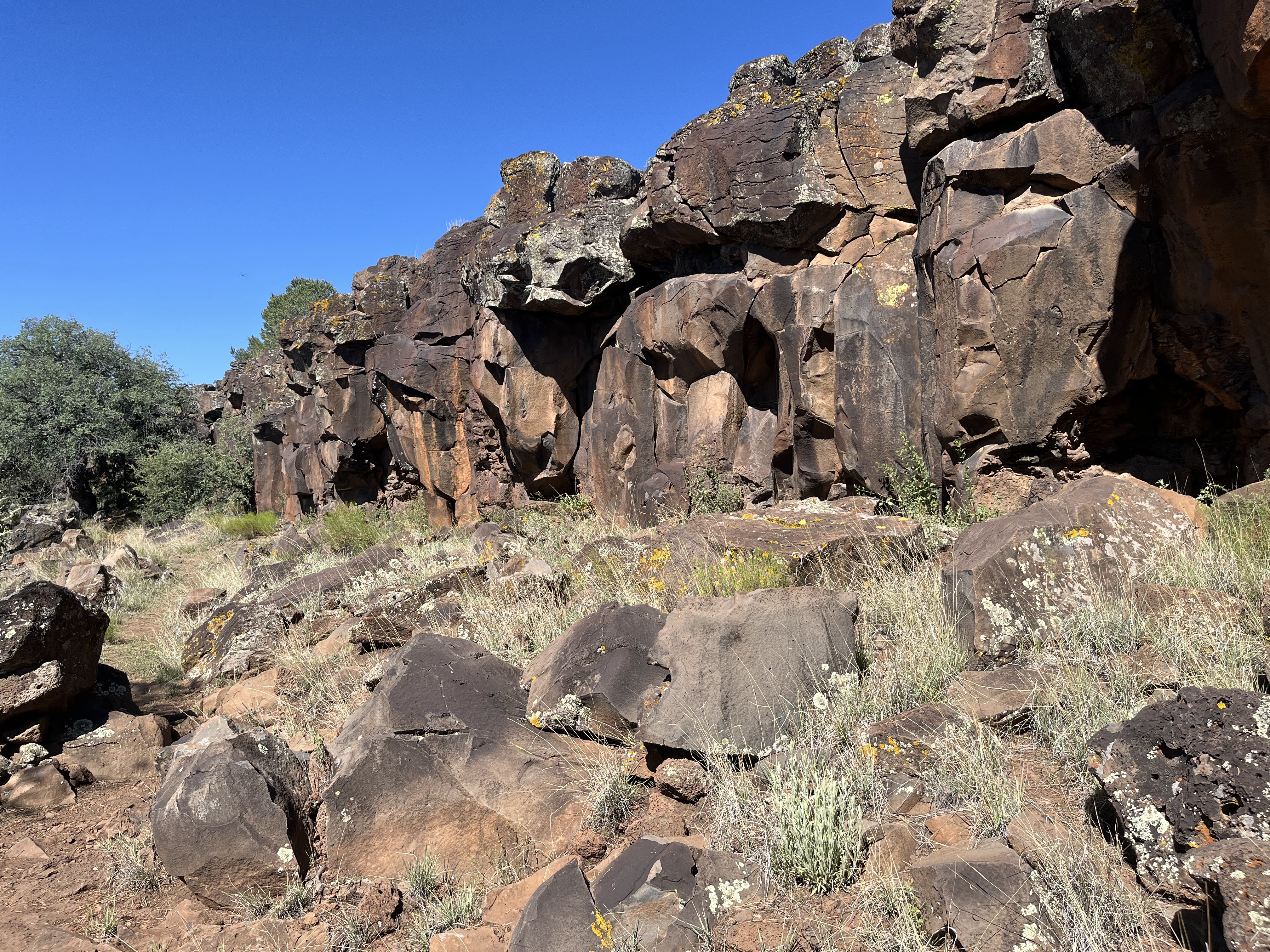
The main body of the pueblo is an L shape. There is also a detached block on the south side. There appeared to be a kiva-like depression interior to the L, and a another depression (perhaps a borrow pit) exterior on the west  side.The rubble pile of un-shaped stones was several feet high but room blocks were not easily distinguishable on the ground (though they are there on Google Earth). It may have had a second story. 

We wondered around looking for examples of pottery, but this site was pretty stingy. The best spot to find any to look at was around a large rodent burrow.  I would have like to have walked the arroyo to the spring, upstream and to the west of the ruin (although I suspect it might be dry nowadays), but the sun came out, the temperatures rose rapidly and we made an early exit from our exploring.

Two large and one small ceramic sherds, plus and obsidian flake.

Labels: , ,

Wednesday, July 17, 2024

Gila National Forest - Apache Creek Interpretive Trail, FT 16

prickly poppy


 We went out to this site a couple of weeks ago (7/3/24). It's a lower elevation hike for the area so it was already getting to be a bit too warm. I'm sure it is too hot right now. The sign for the site, right at the intersection of the primitive road (4177 R) and the well maintained  FR 94, was completely obscured by a huge section of a huge ponderosa pine that had fallen across the road to the parking area.  At first I wasn't sure what to do. I didn't want to just start walking down the road because I didn't want lengthen the hike any with the morning warming up rapidly and me with two black scottie dogs. Another section of the tree had fallen the other way which seemed to block going around the rather considerable stump. Looking closer though, it seemed that we could just squeeze the 4Runner in between the standing snag and the fallen section, which it what we did. 

 After parking we started to the left where the trail quickly got rough and steep. Luckily, our older dogs seemed up for the adventure, although they didn't quite understand all the switchbacks.

Soon we were at the  cliff face where the trail leveled out and the scrub live oaks provided welcome shade. It was mostly easy walking that had a sweet cozy feel as we looked for petroglyphs and listened (but didn't hear any) for snakes.

The rock art here isn't the best, certainly not in league of the site along the Tularosa River that we visited last year.  There isn't a whole lot of it either so you have to keep your eyes peeled if you want to see what's there. Just as I was wondering why the all of the petroglyphs were on the cliff faces and not on any of the abundant broken-off boulders, we came upon two marvelously clear ancient spirals on a large gray angular rock. Unfortunately, immediately adjacent, were someone's painstakingly scratched initials of a much more recent vintage.

 There were lovely views of the pine clad mountains the grassy valleys from up top. The descent offered a little more shade than the ascent. All in all it was a nice, but very short, hike. If you go in the summer, get there as early as you can.

Labels: , , ,