 |
| Higher ridges and peaks of Horse Mountain |
 |
| Twin junipers |
 |
| Top of the ridge |
 |
| Mangas Mountains |
 |
| This juniper was still living. |
 |
| The cabin |
 |
| At the top of the peak |
 |
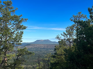
| Mangas Mountains and Escondido Peak |
 |
| Little Alegres Mountain |
NOTE: Even though I accessed these canyons and ridges from private property, they can be reached (albeit through longer, but not too long hikes) from the public entrance point on the west side of Horse Mountain.
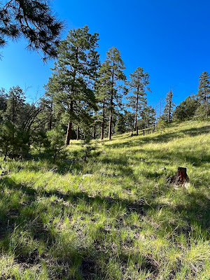
I love this beautiful, remote and peaceful mountain that we've chosen to build a little cabin on. Out our back door is 10,000 acres of BLM land, much of it part of a wilderness study area. We got an early start on Saturday morning and crossed over a ridge at the old wire corral that is in the canyon directly behind the cabin and into the canyon to the east. Big pines greeted us in the little valley, which soon opened up into a series sparsely treed meadows (or parks as they are sometime called).


We encountered a very vague impression of an old road as we went up, and I believe this canyon was logged at one time. By the looks of the stumps, and by the very mature existing pines, I'm guessing it was a very long time ago.
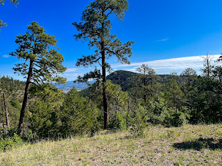
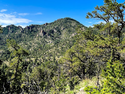
I made it all the way to the ridge with one of our Scotties and my wife stayed below with the other. On top there were views to the large, rugged canyon that drains eastward, as well as to the higher ridges and peaks of Horse Mountain.

 |
| Higher peaks of Horse Mountain |
It was beautiful day with wildflowers, abundant sunshine, cool breezes and the company of many nuthatches flittering about in the trees.
The next day, we used the Log Canyon entrance to the WSA and hiked along the ridge on the west instead of entering the canyon. Eventually we descended into the nameless canyon just to the west ( which lies in between Nance and Log Canyons, the only named valleys on the mountain). It was another beautiful pine park, with few mature oaks and oak copses thrown in for good measure.

 |
| Oak copse |
The only thing missing was a trickle of water in the creek bed. We detected signs of a road in this canyon too, but I surmise that this one as well as the other has its origins from the cluster of roads that descend from the head of Nance Canyon and never ascended the drainage. We crossed back over to Log Canyon to finish the hike.
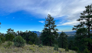
A few weeks ago, I made up my to climb the peak ( really more of a high point on a ridge) directly behind our property. I estimated it would take about an hour for 600 foot climb and return. Got it right. It was a steep pull up to the top and places where you could get decent long distance views were a little hard to come by, but it was fun and a nice way to kick off a Sunday morning.

Labels: big trees, hiking, wildflowers


