Lincoln National Forest Fall Colors - Gage, Hoosier Canyons


While looking at Google Earth (something I spend way too much time doing), I noticed a lot of light green along the hillsides of Gage Canyon, a small tributary to the large Perk Canyon Valley in the southeastern corner of the Sacramento District of the Lincoln. The light green means trees that are not conifers and at this elevation that would be aspens, deciduous oaks or the prized big tooth maples.
We made the long drive (> 2.5 hours) from Las Cruces with the last miles on the dusty FR 171. Along the way we saw turkeys, deer and a red tailed hawk at close range.We turned off on an unmarked track at the mouth of Gage Canyon and drove past a fence out of the private property that lines Perk and onto Lincoln National Forest. There is a small sign saying " Road Closed" and we parked shortly thereafter across from a beautiful camp site that had two trailers set up in it. We started off hiking at about 11. It wasn't hot, but it wasn't a cool mountain morning anymore either. We used the road at first, but then stuck close to the east side, using cow paths to stay in shade of the tall conifers. Soon we were seeing colorful oaks down on the valley floor and up above mixed with the evergreens, the maples were already turning, some a brilliant red, others in hues of orange, yellow and pink.


We stayed left where the canyon forks at a recently re-dug cattle tank. More, and larger maples appeared in the narrower branch.

The old road is extremely uneven from this point on and is rightfully closed, although it still appears to get some use by ATVs. It also gets pretty steep. Eventually, we topped out on the ridge where there was rainwater collection tank that may have been a drinker for wildlife. Its large collection fan made of fiberglass lay on the ground. From there, an un-official, and unwanted use road led down into the upper end of Hoosier Canyon, a small tributary of Agua Chiquita Creek. The forest service (I'm assuming) has recently felled some trees, and piled up brush in this illegal way, which was made bypassing an older route which had been bermed to stop users at an earlier time. The effort that people will go to to do something they know is wrong always amazes me.
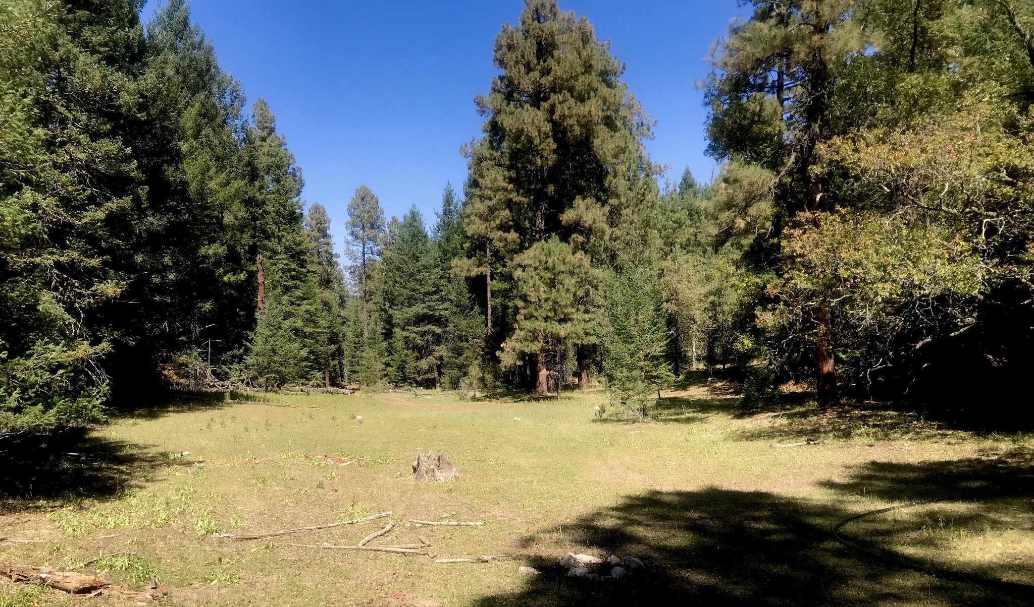
We had our picnic on the edge of the meadow at the top of Hoosier, which like Gage Canyon, is sadly lacking any evidence of lush summertime growth in this very dry year. We walked around in the forested perimeter where shrubby maples grew and then began walking back the way we came.


On the way back I climbed the hillside a few times to get a few more photos of the maples. Our dogs looked up trees to gray squirrels above, and stuck their heads into logs listening to chirping chipmunks. Deer crossed the weedy meadows of the canyon ahead of us.

We drove back by going roughly the rest of the way on FR 171 up Perk Canyon, then briefly onto FR 255 back to the well maintained Agua Chiquita Road. That wasn't particularly scenic, but we continued on to Scott Able Canyon which had some nice color provided by box elders streamside, and maples up on the hillsides. Finally we drove down Karr Canyon, which is really the most beautiful canyon accessible to street vehicles in the Sacramentos. It had peaking aspens as well as maples starting turn amidst the massive Douglas firs.
Labels: camping, fall colors, hiking, scenic driving
posted by Devon Fletcher at
6:07 PM
![]()
![]()


0 Comments:
Post a Comment
Subscribe to Post Comments [Atom]
<< Home