Cibola National Forest - Big Rosa, Rosedale Trails ( FT 92, FT 36) - San Mateo Mountains


We drove the two hours and 10 minutes to the trailhead which sits at about 8,000 feet. The foothills of the approach had greened up a bit with new grass, which was nice, but they weren't really where they should be given that monsoon seems to have already come and went, lasting only a few short weeks in late July and early August. They were a few folks camping in some of the nice spots along FR 330 and I thought it would be nice to come back here and camp when the weather is cooler. As we drove higher, the road became enclosed in strange forest of small diameter ( second growth) pines that had seemingly uniform spacing. The forest floor beneath them was nearly bare. I'm sure this was all achieved in logging days of the San Mateos, which have been over for quite some time and hopefully are over for good.
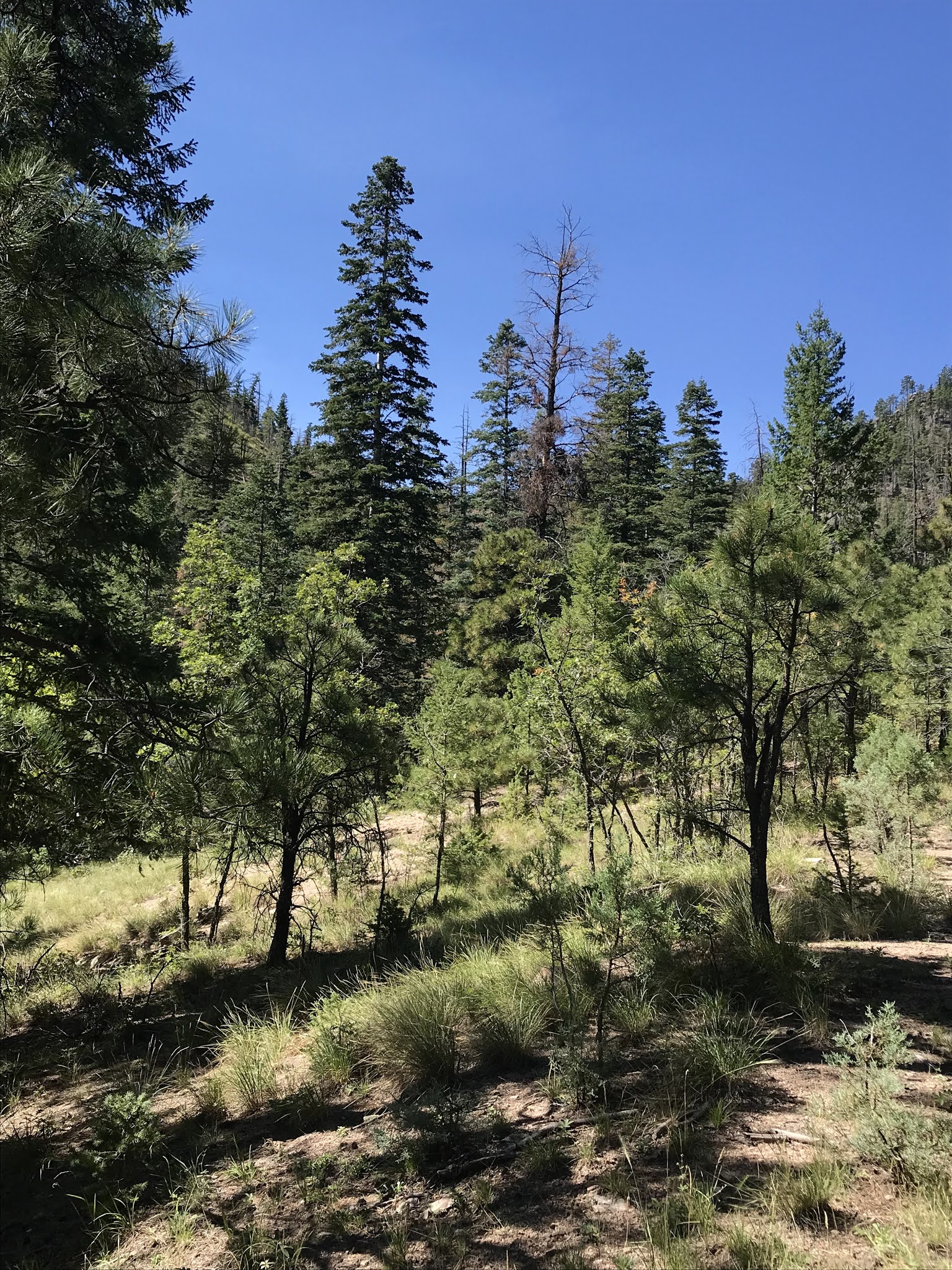
There is a large sign for the Rosedale Trail and shortly thereafter enough room for a couple of cars to park beside a side drainage. For those thinking of going, know that this spot, comes right before FR 330 gets really winding, narrow and rough, which I knew would be a big plus for my wife. It was warmish, but not too bad as we began to hike on the old wagon road that serves as a trail. It was pretty steep walking through the piñon, juniper and scrub oak on a sometimes slippery gravel tread. I would guess it's been years since this trail has been maintained and there were small trees and shrubs, and even pointy lechuguilla right in our path at times. We hiked up and up, curving around a hill until arriving at a small saddle, enjoying the views back down Rosedale Canyon, and up to still green (who know for how much longer) forested hillsides, along the way.


From the saddle, it was a short, but steep pitch down into Big Rosa Canyon. At the bottom we crossed the dry creek, pushing through some blackberry bushes to get to an old logging road on the other side. The upper reaches of Big Rosa had lots of conifer snags and downfall, but it was still reasonably shady and had welcome damp coolness as we bounced and bounded downhill. It wasn't hard to tell that this trail receives very little use and no maintenance. Early on, there should've been an intersection with the part of FT 36 that heads west up the mountain. I didn't see it on the way down or on the way back up. Passing by a couple of small grassy clearings, we arrived at the remnants of cabin, which had small mining prospect nearby. Further down, after eating our lunch in the shade of pines and firs, we came across a second one, more stoutly built and of a later vintage.


Most trees in the canyon were smaller second-growth, and I believe the road we were traveling on as we went downstream was built for logging. In average moisture years this creek probably has some running water, but there were almost no riparian trees, just a few deciduous oaks further down, and blackberry brambles where springs sometimes flow. Chipmunks and squirrels scurried about, but our off-leash dogs didn't ever catch sight of one. Luckily, we had them back on-leash when we spied a small (6-8) herd of cow elk over by the creek. As the trail began to finally flatten out we began crossing several sandy side canyons, and then we crossed back and forth over the main creek bed itself. I had been hoping to make it to the mouth of Water Canyon (which supposedly has a trail too, FT 37), but it was getting pretty warm for our dogs and us having come down 1000 feet elevation from where first hit the canyon. We were probably about a half-mile away when we turned around. I did see an old post on the ground, but couldn't find the sign on the way back up. We did a lot of rests, and water breaks as we trudged upwards where each bit of downfall, so easily gotten over on the way down, made the uphill trek a challenge. A few clouds gathered, but didn't really shade the sun until we were almost done with our climb. Although we had stayed on good trajectory downhill, we did lose the trail for a brief while on the way back. There are only a very few blazed trees, and much new growth at times in its former tracks of the old road. We had to climb steeply out of the creek bottom to find it again on the west side.
One observation: The part of the Big Rosa Trail we hiked skirts the border of the Withington Wilderness. It probably made sense at the time of designation, because the road (an extension of the very rough FR 56) still saw some vehicle use. These days it obviously sees very little foot traffic never mind vehicles to which it is now impassable. We would all be better served at this point if Big Rosa Canyon and the ridge above it to the east were to be annexed into the wilderness area
Heading downhill again after the saddle, the Rosedale trail proved somewhat treacherous if not taken slowly. Our Scotties were champs as they waited patiently for their less agile human companions. It was good to get out on a good day. Once off the road we saw no-one for over 5 hours.
Driving back, we pulled off to look at the area near the mine in Rosedale where we had camped seventeen years ago. The formerly barren (and probably toxic) tailings piles are fenced now, and have been reclaimed by grass and weeds, and the road no longer goes through to our spot beneath some large ponderosas.

Labels: camping, ghost towns, hiking, wildflowers
posted by Devon Fletcher at
4:34 PM
![]()
![]()


0 Comments:
Post a Comment
Subscribe to Post Comments [Atom]
<< Home