Magdalena Mountains, Cibola National Forest - South Canyon Trail ( FT 15 )


By contrast, the Magdalenas remain green and if you choose to do hikes from the inside out, there really is only one road to contend with, the well maintained FR 235. I had both the upper reaches of the Sixmile Canyon Trail ( FT 16) and the South Canyon Trail ( FT 15) in mind. Sixmile begins at the cooler elevation of 9650 feet, but I opted for South Canyon, mostly because the trailhead is located just a short ways from Water Canyon Campground before FR 235 begins all its twists and turns which add a bit more driving time. I was parked 2.5 hours after leaving Las Cruces.

It was warmer than I would have liked as I hiked along in the ponderosa forest at 7500 feet. Mercifully, the sun stayed behind some clouds as the trail climbed steeply out of the drainage. Ancient junipers guarded the easily followed path, and several mini- switchbacks helped bring me up to the dividing saddle faster and more easily than I expected. Along the way there were great views of the fir ( with a few spruce) clad hillsides all the way up to Timber Peak, which only improved at the top when looking across South Canyon.


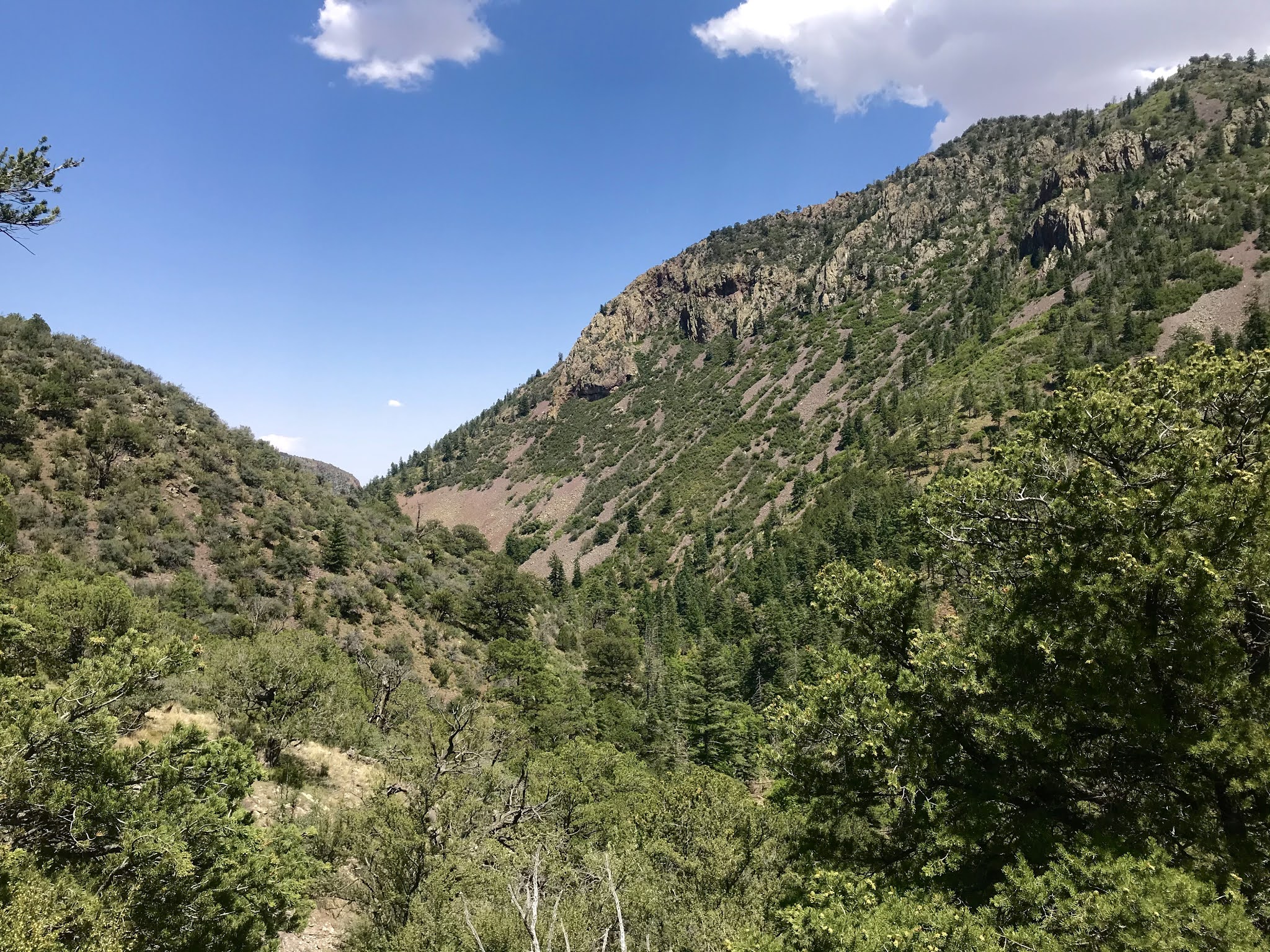
The extensive talus fields, rimmed with evergreens, sloping steeply down the ridge that culminates with Buck Peak give the impression ( as with the Magdalenas in general) of mountains in Colorado or northern New Mexico ( a similar observation is made by the anonymous writer of the Forest Service trail descriptions for the high country of the nearby San Mateo Mountains).


The trail continues through piñons and junipers on the southeast side of the small clearing at the saddle. Though receiving limited use, it was still easy to follow and only occasionally covered with brush. A few short off- camber sections were a little dicey on the slippery gravel. At the bottom, my fantasies of Colorado or Northern New Mexico evaporated. Near the small, broken Trail 15 sign was a stagnant puddle, one of only three or four which constituted the sum total of water in the stream. I was still in southern New Mexico and surrounded by desert. I am not sure why two north facing canyons ( Sixmile and South) have so little surface water, while the canyon I hiked last year, the southeast flowing East Fork Sawmill Creek, has a live stream.

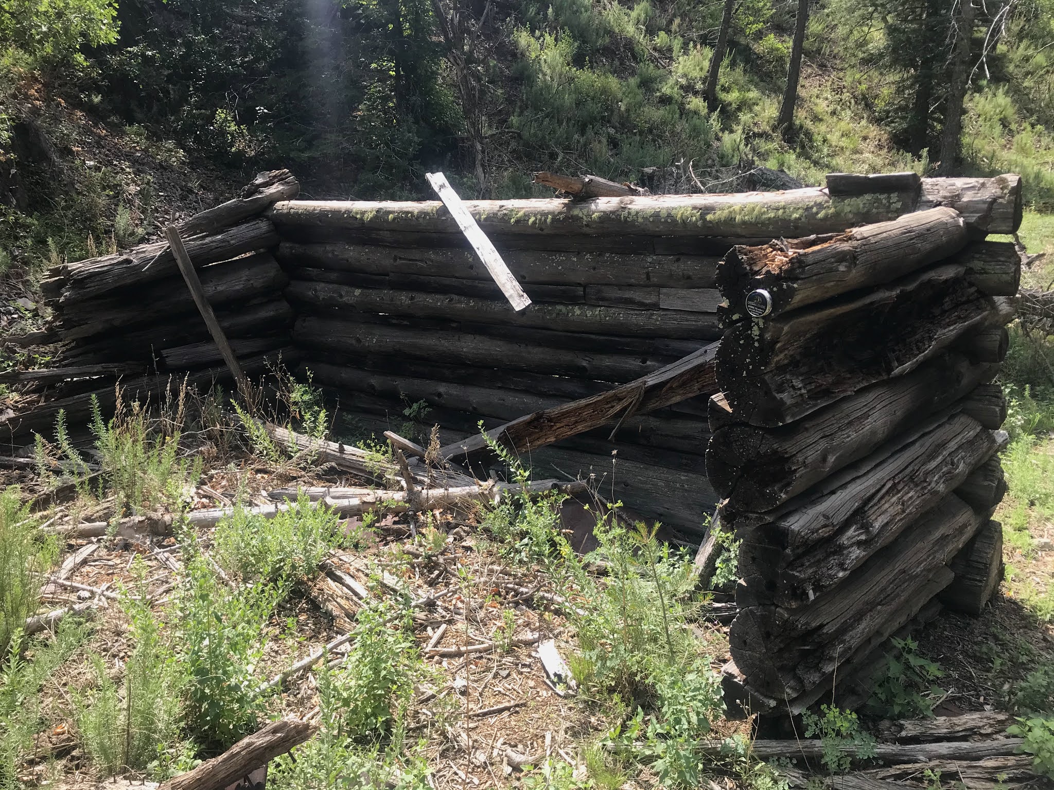
There is almost no trail or blazes in this upper part of the canyon, and plenty of smaller diameter downfall (mostly firs). Still, it wasn't too difficult to negotiate my way downstream. Large and small box elder were the dominant deciduous trees here and kept the walk shady. In a little while I came to three walls of an old cabin. Scraps of rusty sheet metal, and small bits of glass were on the surrounding ground, but nothing much else in the way of artifacts from a bygone era.


Further down still, after passing through lovely wider areas with green grass and mature ponderosas, I came upon the sign for Forest Trail 12 ( Dead Horse Trail) nailed to a juniper. I briefly thought about what a loop using this trail would be like, but since it would involve road walking and I had done no research on the trail, I let the idea wisely pass. From here on the tread of the trail was mostly visible as were the old blazes on pines and junipers.


It was nearing my turnaround time of 12:15 when the towering cliffs of the narrowest part of the canyon came into view. I was glad I hadn't relented to thoughts of turning around early ( mainly because of the increasing temperatures that accompanied the decreasing elevation). Deciduous oaks, small chokecherry and even a few cholla showed up and the box elder disappeared as I got to the lowest point of the hike ( around 7000 feet).


I kept going on past the bare rock formations, through a small wire gate hidden in oak brush, down to where the canyon really widens, probably less than a mile from where very rough FR 37 comes in. Turning around I hiked back up to the narrows and ate in complete shade.


Heading back up I came across several signs I hadn't seen on my way down. One was for the leg of the Deadhorse Trail that heads over to Sixmile Canyon. A cleared, but obviously unused path was visible angling up the hill. I passed by the cabin again and soon I was back to where the trails leaves the canyon. Unfortunately the water in the puddle was not of quality that allowed me to wet my hat and shirt. Once again, wildlife seem to have the sense to hunker down in the heat of the middle of the day ( unlike humans). I saw two bushy - tailed squirrels. Nuthatches clung to trunks and jays hopped in the branches. A unseen hawk screeched from above and lizards quickly scurried to their hiding places. That was all.


I rested and drank under a large box elder before heading up. It wasn't too bad at all even though it had to be in the upper 80's. At the saddle I sat under a juniper and ate my sardines, before heading down. By the time I'd gotten back I'd been out almost six hours. I like this hike. The only thing missing was just a little more water which would make it an all time southern New Mexico classic.

Labels: backpacking, camping, fall colors, hiking
posted by Devon Fletcher at
4:27 PM
![]()
![]()


0 Comments:
Post a Comment
Subscribe to Post Comments [Atom]
<< Home