Buckle Bar Canyon 2021 - Selden Hills


If you read this blog, you may know that several times since then I've explored the lower 1/2 mile of Buckle Bar, the north and south side canyons there, and have used the first parallel arroyo on the south side to access other trips into the Selden Hills, but I've never have looked at the middle reaches of Buckle Bar itself. I have gone up and down the lengths( or nearly so) of other nameless side canyons all along the Selden Canyon stretch of the Rio Grande, but left a mile and a half of largest of them ( Buckle Bar) unexplored.
Saturday afternoon, I went out with friends to remedy this situation and see what we could find. We parked in my usual spot for starting hikes in this area right at the yellow gate across from Broad Canyon Dam, but I'm recommending from now on, due to hastily posted No Trespassing signs on the nearby fence ( similar to the ones posted at the Slot Canyon gate in 2019) and International Boundary Waters Commission's hostile signage as well that it might be better to park further south and climb over the hills on BLM land or use the old Broad Canyon Ranch entrance ( NM State Parks Land) to get to the mouth of Buckle Bar.
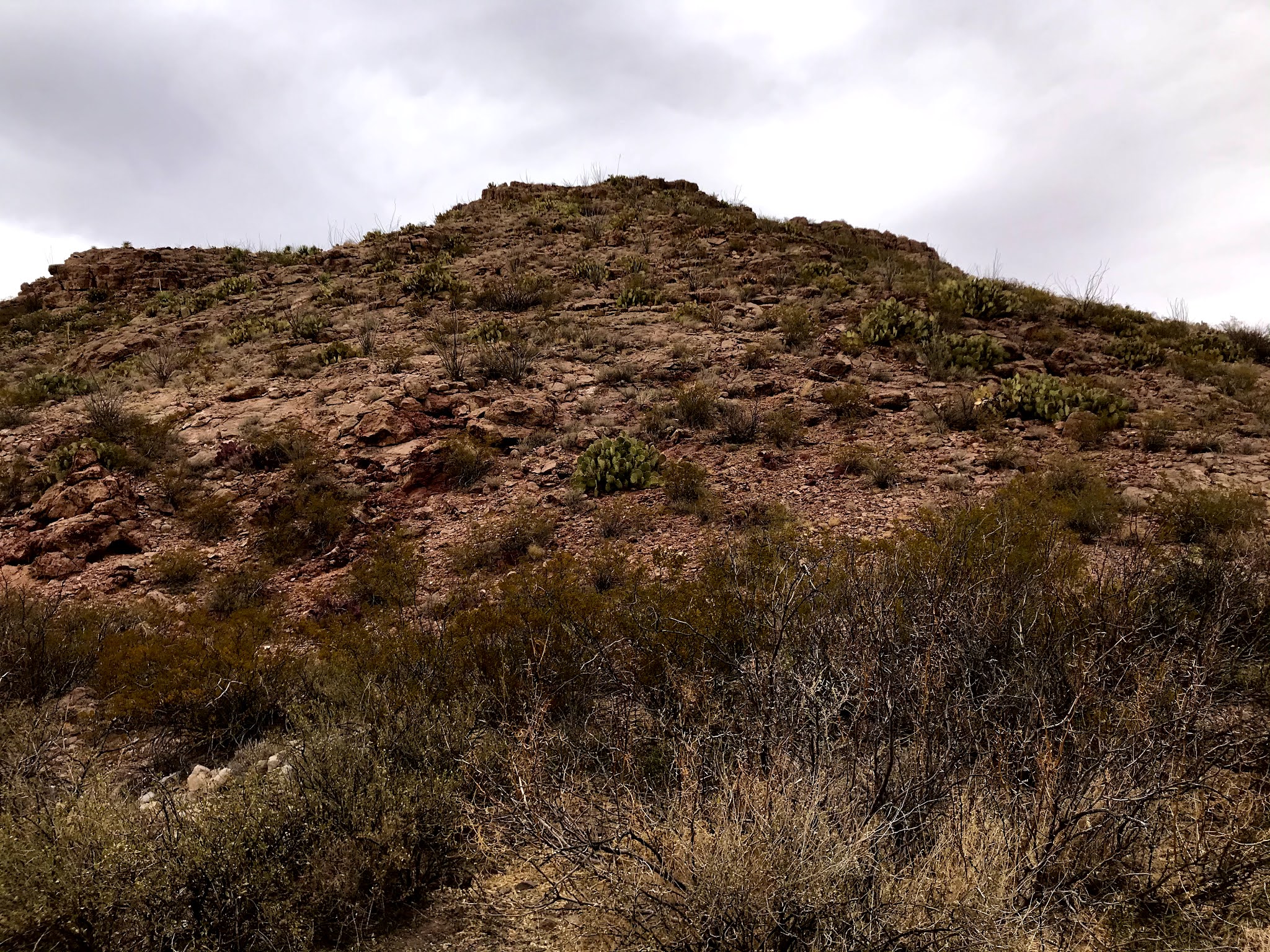
After putting hundreds of ducks to flight, we rock-hopped across a flowing stretch of the very, very shallow river ( as it always is in Winter) and then began our march up the sand and gravel. The cliffs of bouldery conglomerate of the lower canyon are always wonderful to see, but soon we were in the monotony of a " canyon" that is more like what they call in other parts of the west "a wash."

We finally got to where the canyon narrowed considerably and and a variety of rock outcroppings began to appear again. There were volcanics, a bit of very sharp silicified limestone, and more conglomerate. Some of the rock was cinders heavily coated by what appeared to either dark iron or manganese mineral ( or both). I found a dry waterfall through shifting rock types with many small alcoves (some with nests). I investigated another alcove ( or maybe a mining prospect) that was more than a little treacherous getting to, only find it replete with predator scat and little else. I found a few other obvious prospects with one having some nice mineral samples of hematite (limonite) and perhaps more manganese oxides as well.


Though the day had warmed nicely and sun finally appeared, it was getting late and wind was picking up so I decided to head back. I had been right below the excavation we had visited years ago, I decided this was not the day to visit it again. The walk back was mostly uneventful. Although for some reason I looked back at the just the right moment and decided I was seeing a petroglyph on boulder we had dismissed earlier on the walk out. On closer inspection, it was most definitely a petroglyph, the first one I've found in Buckle Bar where I've searched many a time fruitlessly. So, that was nice.

Sparrows ( white crowned, I think) flitted in the mesquite along the levee, and I marveled ( if that can be) at the variety of scat in this tiny sliver of bosque protected by the NM EMNRD purchase of the Broad Canyon Ranch. A nice winter hike that felt more like spring ( before winter returned the very next day).
NOTE: It's easy to stay on the State Parks land and not trespass along the road from the yellow gate, but then to stay on State Parks, and not walk onto International Boundary Waters land requires bushwhacking through a thick growth of brush along a usually dry slough. In addition to cross over into Buckle Bar, another sliver of IBWC land must be crossed. All these questions may be moot in terms of how scrupulous you want to be, because the hike from that point is on NMSU's Chihuahuan Desert Research Center property where it may be necessary to have permission to access. You make up your own mind, but don't say I didn't warn ya.
Labels: geology, hiking, petroglyphs, rockhounding
posted by Devon Fletcher at
8:12 PM
![]()
![]()


0 Comments:
Post a Comment
Subscribe to Post Comments [Atom]
<< Home