Prehistoric Trackways National Monument - Canyon Exploring


I headed up the very rugged South Rocotillo which never fails to impress with its scenic qualities. The waterfall continues to crumble, but it is still climbable for now. I always take look at the red slabs of Abo sandstone that have broken off canyon walls when I come across it for any trace fossils, and this time lo and behold I found a trackway of small animals from 280 million years ago. I'm not sure how common this is, but for me it sure is exciting.


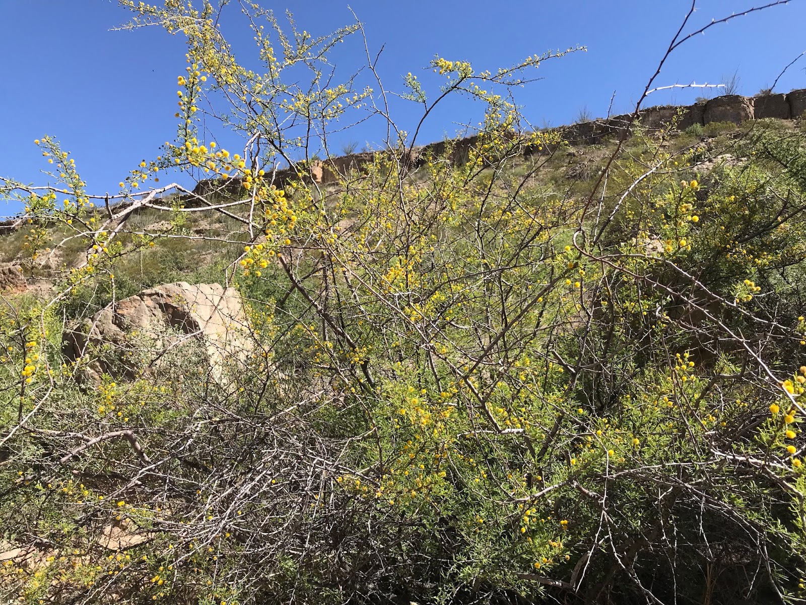
I proceeded to circle around the steep mesa on the south side of canyon until I found a relatively easy way up on top. It was a bit hot, and slightly more humid than recent days, but it's been nice to hear birds, see wildflowers and greenery at a time of year that usually frighteningly dry.
From the top I headed down the skinny, steep-sided canyon on my left. It was rough going, so I took it slow. I found a nice rock which was studded with calcite crystals, but other than the typical Robledo Mountains' scenery little else to recommend the canyon as destination.
 When it opened up, I moved over to the west and began walking up the adjacent canyon, which was as wide as single lane road, and sure enough I began to see the tell-tale spider web of white scratches on the larger gray boulders which informed me that this was route for off- road. Eventually the route leaves the canyon and becomes the two track I had seen up the mesa earlier. I saw a couple of route indicators posted by the BLM that I hadn't realized had been installed in the backcountry. If the idea here is to keep people only on the posted routes, I guess I'm for it, I only hope it works.


 I returned mostly the way I came, taking a long look further upstream at the upper reaches of South Rocotillo as a possibility for further exploring.
I tried to find the little trackway slab I had seen earlier, and in the process found another one with a few more tracks on another slab. When I got back to my truck, the ATV group were just returning as well. We'd both been out a couple of hours.

NOTE: I use labels rockhounding and fossils in this blog, but I am changing them it to geology and paleontology starting today. It is illegal to collect any vertebrate fossils( including tracks) on either of our national monuments here in Doña Ana County. Check with the BLM regarding any collecting of invertebrate fossils or minerals.
Labels: geology, Organ Mountains/Desert Peaks National Monument, paleontology, Pre-historic Trackways National Monument
posted by Devon Fletcher at
6:41 PM
![]()
![]()


0 Comments:
Post a Comment
Subscribe to Post Comments [Atom]
<< Home