Uvas South Canyons - Organ Mountains-Desert Peaks National Monument


I had been planning this hike since early winter but didn't get out there until the first week of spring, which might not have been the best idea because the temperature had been skirting the 80 degree mark the previous few days and indeed it hit 80 the day of my hike ( 3/26/19). I set out to the northeast from the locked gate on County Road D-01 as I had last year on my spring break walkabout in the canyons feeding Tajanio Pinto Tank.This year I was headed to a promising looking canyon for finding grinding mortars, petroglyphs and who knows what else.
When the road turned back toward the east, I got off and started walking cross-country in the low bunch grass. Soon I was finding ancient pottery, black, brown and gray, in a series of bare stretches of sand. I crossed the East Tank arroyo and then climbed a low rise covered by cobble sized boulders of black basalt. I had to maneuver past a fence and in and out of deeply channelized arroyo as I continued toward the canyon full of junipers, scrub oaks and bedrock. Along the way I found what I think had to be a " core" of pale gray volcanic rock.It was dense enough for point or tool making and covered with fluted markings where I think it had been chipped at in pre-historic times. I could be wrong but the appearance was not one that would arise from just rolling and tumbling in the desert.

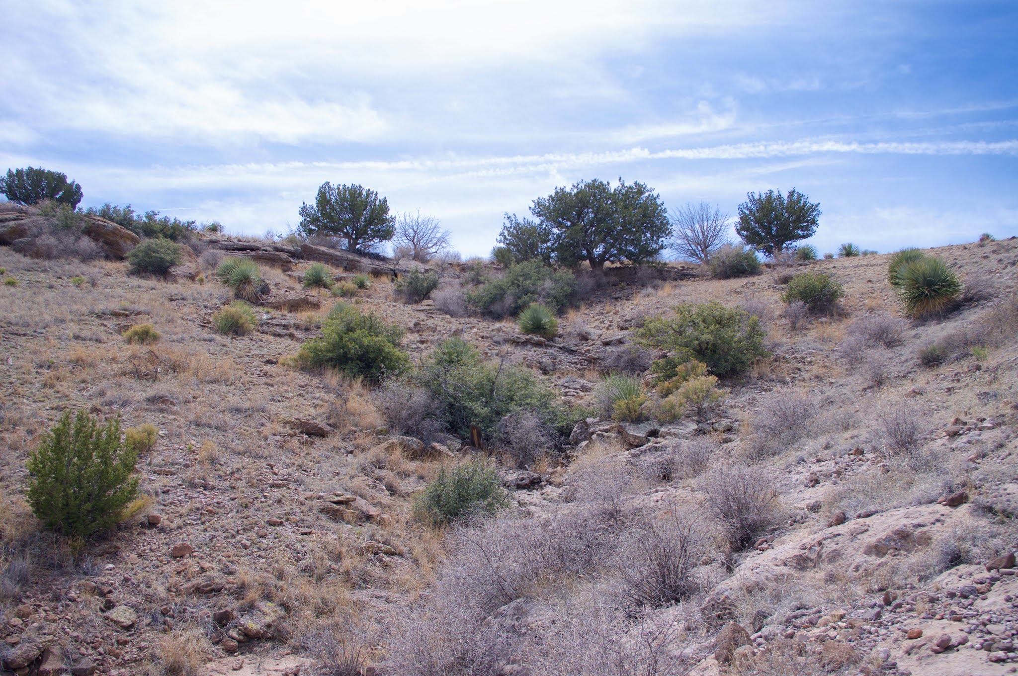
I came into the canyon I was seeking just north of a property fence. Full of pale boulders, it was rough going at first.
 I came across the carcass of a seven or eight point buck tangled in limbs of a dead shrub. Nearby was wide diameter scat that could only belong to mountain lion. The upper part of the canyon was clean bedrock with a few pools of lingering water, as I predicted ( to myself) it would be and very similar to upper Silva Canyon where there are grinding mortars and petroglyphs.

While I was figuring out getting around a large juniper, I could hear the wing beats of something large flying out of its branches. Turning around as it flew overhead and down the canyon, I'll be damned if it wasn't another encounter with a golden eagle. Now last year I had encountered a pair one after another at a dam in the Goodsight Mountains, but, temporarily dumbfounded as usual when encountering large birds, it didn't occur me that it may be happening again. But, a few moments later, after getting around the tree, there the second one stood having just drunk from a shallow pool in the rock. We locked eyes, and then it was off over my head as well. Since dam in the Goodsights is only dozen or so miles to the west, I couldn't help but think that this was the same couple, whose territory I was invading again.
After finding no evidence of ancient peoples, I climbed up onto the plateau where views to east expanded with Sugarloaf, Mesa Azur and Magdalena Peak on display.

Now I opted to explore a canyon to the northeast that feeds the valley that was in front of me. I followed it back and back. The flat benches on either side were easy walking. Large junipers were scattered throughout, as well as few scrub oaks on the north facing slopes among the cliffs. It was a nice secluded little valley, and it was obvious that the cattle enjoyed the environs. I turned around at a fork, where the green of the trees was at its thickest. My eyes had been down to the ground looking for something to indicate pre-historic peoples had been in this spot, and I was bolstered by finding a single piece of pottery on my return, but then found no more.
I was hot in this open terrain as I now began the return leg of my loop. Off in the distance I saw what I thought was an alcove or cave in the lower slopes of the south half of Saddle Mountain. As I stumbled upwards I saw a petroglyph on a blackened boulder. Soon after I discovered the "alcove" was nothing at all, but now I was tasked with investigating the many boulders that lay on the hillside.


Tired, I began to hatch a plan for going after each one and then proceeded. Tripped and a took one hard fall but somehow managed to not damage my Pentax which was in hand. Finally found one faint, but for real panel of 5 or so images and one isolated goggle-eyed image.


I was glad as always to find a few, but truth be told, the bright light of the noon hour and my creeping exhaustion might mean there's a few more to be found out there. I continued to check out more boulders as I went down hill and toward the southeast across the wide upland valley. I saw another alcove or cave on the north slope of Uvas South Mountain. I looked up at the junipers that lined the steep arroyo formed by soil collapse below the ledge, from the little gravel fan at its base and rightly concluded that whatever is was, it was too high up there, and would have to wait for another day.
I sat down in the shade of boulder and ate my lunch, Next up was the canyon that runs up the north side of Uvas South Mountain essentially splitting into two buttes. The lower end is filled with likely looking boulders, but I found no rock art. The last bits of new territory to cover, had me going up over a low ridge on the mountain's west side and heading down into East Tank Canyon.

A few boulders to investigate were there, but with no reward.The heat, wind, rough terrain and the distance were taking their toll. I sat down in the shade of a juniper and ate my orange. Afterwards I trudged up and over a saddle and went looking in more more boulder strewn arroyo, again with no results. I could see my truck and made a bearing, but it would still close to a half and hour of walking to get there. Long day.


Labels: Organ Mountains/Desert Peaks National Monument, petroglyphs, rockhounding
posted by Devon Fletcher at
4:23 PM
![]()
![]()


0 Comments:
Post a Comment
Subscribe to Post Comments [Atom]
<< Home