Wayland Canyon Trail( FT 433) - Lincoln National Forest


I had wanted to hike this trail back in October,2014, but we couldn't find the exact locations of either the upper or the lower trail heads. We knew where both should be, but when we looked for the lower trail head just off the Potato Canyon Road( FR 437), there were no signs, no cairns, and no tread,just a brushy hillside of snags left from the Scott Able Fire. We found the remnants of Forest Road 433,about six miles further along and 1500 feet higher, from which the trail should have started on the upper end, but it disappeared in the brush and snags as well.
The information person at the Forest Service Office in Cloudcroft didn't have any information, so I put this hike back on the shelf,but still remained curious. Over a year and half later, with new directions from the updated entry for this trail from the website (http://lincoln-nf-trails.org/Trails/Sacramento/S-main.htm ) run by Lynn Melton, we found our way to the upper trail without a hitch. It is now off of FR 434 which takes off from FR 437 in a rare patch of remnant forest left on the ridge. In addition the lower trail head is signed and gated now,but is still an unattractive place to start a hike.

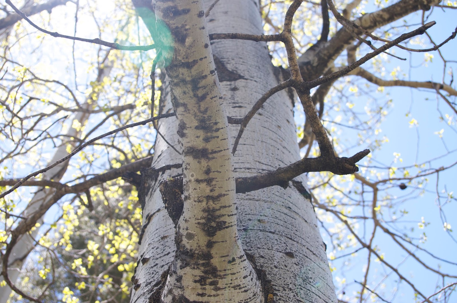
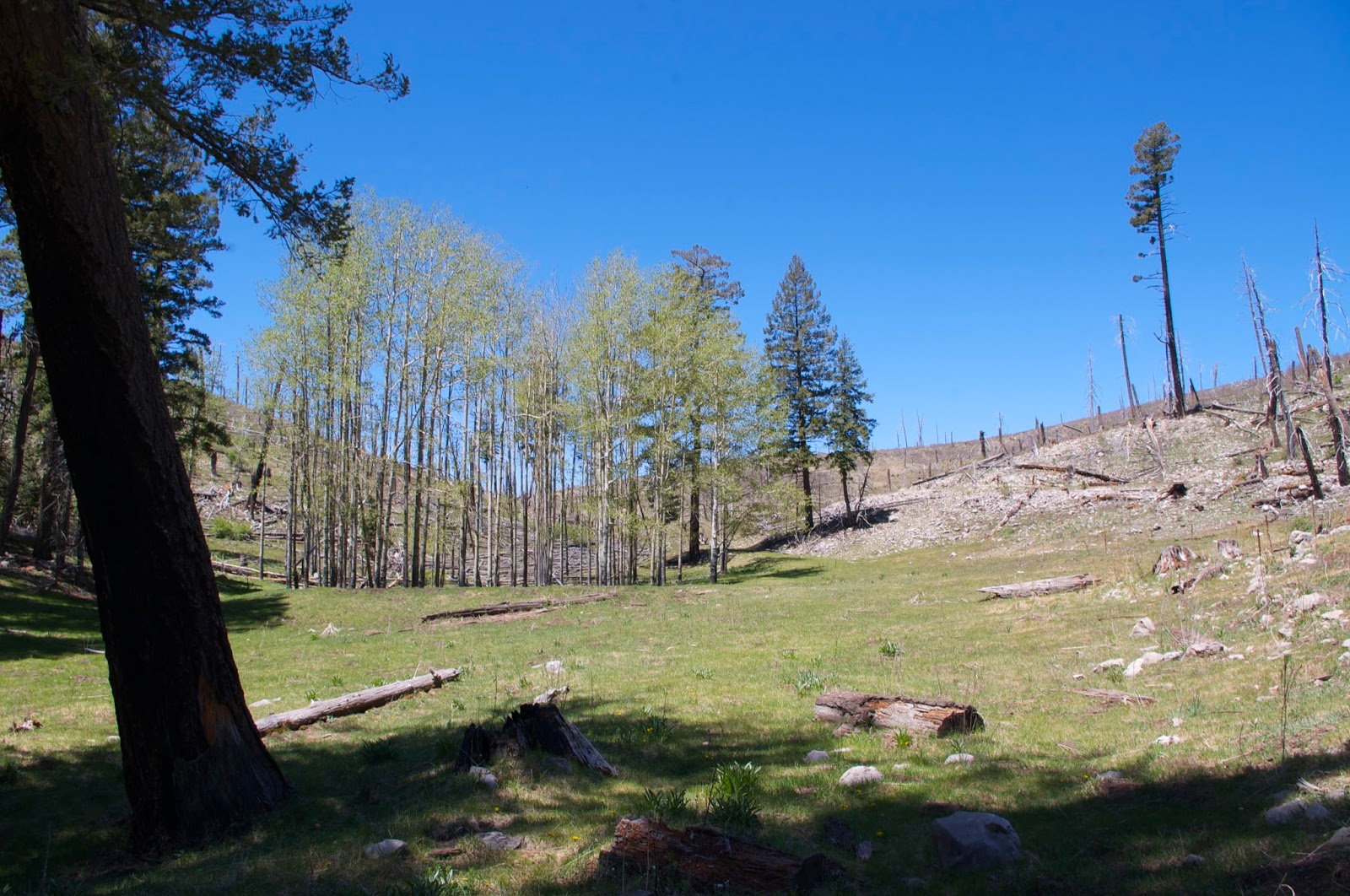
We set off down the wide green vale, passing some mature stands of untouched aspen that grew in the canyon bottom. Both the north and south facing hillsides were burnt is this upper end, exposing cliffs of sandstone and limestone. There was very little growth of new conifers even 15 years after the fire. Instead, there was low, barely leafing out gambel oak and the dreaded locust. Clumps of what I think is a thorny currant species grow here and there as well, dotting the grassy valley and the lower hillsides. It would seem, looking at this picture, that the pine forest, or even an aspen forest is unlikely to return to this area.


 One of the reasons I was interested in this trail in the first place was that it was one of the very few in the Sacramento District of the Lincoln that permits foot and horse travel only. No bikes, motorcycles, or ATVs are allowed, and by the looks of it, this designation is being abided by. The only trail in the valley is an intermittent cow path. We did meet the cows and their calves soon enough. I would have preferred to walk around them,but they got the notion we were herding them down the canyon. We let them run awhile so we could hike in peace without having to listen to their constant bellowing. This looked like a sleek, well cared for, tamer group of cattle than we typically encounter in the Lincoln. We didn't have to stare down any false charges by some rangy cuss, which I've kind of gotten used to, but still appreciated the lack.Seamus, for his part, was alternately aggressive and afraid of the big and little bovines. He never quite knows what to make of them.
As we continued down, the canyon sides were more well forested with douglas and white firs, ponderosa, and white pine. In the swales at the heads of little side ravines, stands of aspen grew.We passed one small spring that emerged on the north side,but I was somewhat surprised at how dry this canyon was: none of the little rills or seasonal springs had a trickle, especially when compared to the hike I did in Dark Canyon last year around this time. After eating, I decided that the lower spring, the one indicated on maps, would be our destination and turnaround point. The canyon began to narrow. There were larger, but still bare oaks. There was Rocky Mountain maple,but no bigtooth maple that I could see. We found the spring, flowing in several rivulets, over its own tufa mound, starting about 50 feet up on the south side of the canyon. We found the cows again as well.


 On the way back, we saw a herd of young elk weaving through the trees. Earlier in the day we had seen three shaggy deer bounding across valley into the brush and snags. Very early on, there had been a beautiful red and yellow headed tanager that had alit on a bush very close to us and I thought it was a promise of a magical day. Not quite, but it was still nice.
We drove back out using the Agua Chiquita Road( FR 64) which is one of the prettiest drives in southern New Mexico. It is also suitable for almost any vehicle up to the intersection with the Scott Able Road(FR 460).

Labels: fall colors, hiking, scenic driving
posted by Devon Fletcher at
2:50 PM
![]()
![]()


1 Comments:
Great photos of the trees. Thanks for the share!
Madison
Post a Comment
Subscribe to Post Comments [Atom]
<< Home