Gila National Forest-"869" Canyon (FR 869,FR 4206U, FR 4206)


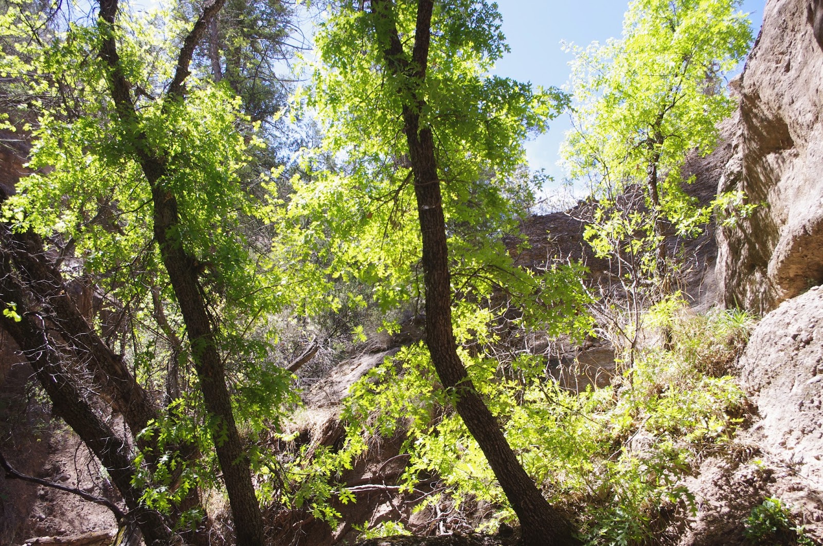


Less than a half mile from where I parked I came to the first fork, I stayed to the left as I had planned. In less than a quarter mile I came to a second fork. Here, I stayed to the right and continued walking upstream in the more prominent stream channel. As always when walking off trail in these canyons, there are the fallen trees that must be negotiated. Luckily, most were easily gotten through,under or over and the hiking was mostly clear in the gravel channel. There was water here and there, and it had probably had a decent flow a few weeks back. This canyon is north facing so it is wonderfully lush compared to the dry, pinon-juniper studded grasslands of the mesas above. Within the narrow walls of Gila Conglomerate grow black walnut trees, deciduous oaks, the ubiquitous box elder, Arizona cypress,grapevine and a whole host of other species of shrubs and wildflowers that thrive in the cooler temperatures and moister soils they find here. Of course there were towering pines and Douglas firs that are absent from the adjacent lower elevation hills and plateaus that are thriving here as well.

 As has been the case several times when exploring these little slot canyons, my journey was stopped by a waterfall just high enough to make climbing up( or getting down) more of an adventure than I wanted to tackle alone in an unnamed, trail-less canyon.
Stupidly, I tried to climb around the waterfall twice. I stay stupidly because the first spot I tried was too steep to even try. The second one was a little better, but I was prevented from getting up onto the ridge by some cliffs that afforded no safe passage.
I walked much farther back and eventually found a low place where I easily walked up a grassy slope and found the road( FR 4206, which is more of trail) that runs on the ridge to the east, I walked to the south, climbing steadily as I went. I stepped to the edge of the canyon several times to look down from above,but the narrow bottom was always invisible to me. I could see a transition point where the canyon stopped being a rocky slot and became a piney upland ravine. A little further on and I found it pretty easy to make my way down. I was now in the uppermost canyon, just a three foot wide gouge in the gravelly soil at this point, still thinking about exploring the upper half of the slot by going downstream, when I was quickly stopped by a drop-off. I could see one after another down the canyon. Back up to the ridge I went.

Now I set my sights on the canyon next door to the east. Initially, it was easy to make my way down from the road,but as I got closer to the canyon rim I realized I needed to find a point bar that I could descend safely to the stream bottom. After trying to force the issue several times already that day, I opted for patience. It paid off. I made it, walking, all the way down to the bottom, without any significant rise in anxiety. I explored upstream, looking up two branches where I was turned back by two more (dry)waterfalls. I headed downstream. This canyon was much wider,open to the sun, and not nearly as nice as the one I 'd come up, but it still had its charms.


 In due time, I found another swale to walk up to the ridge. Following the road( FR 4206) again, but heading back now, I recognized at one point that I was at the top end of the little coin-slot canyon I had photographed from below earlier. I used it to to get back down to the original canyon and in 10 minutes or so I was back to my car(actually I walked past it a few hundred feet) with no worries.
NOTE: The first weekend May is when the Tour de Gila bicycle races are held. Expect to be inconvenienced and have your trip delayed if you plan on using roads NM 35, NM 15, NM 152, NM 61 in this area
Labels: hiking
posted by Devon Fletcher at
4:44 PM
![]()
![]()


0 Comments:
Post a Comment
Subscribe to Post Comments [Atom]
<< Home