East Railroad Canyon Falls( FT 130)- Gila National Forest


 |
| East Railroad and Railroad confluence |
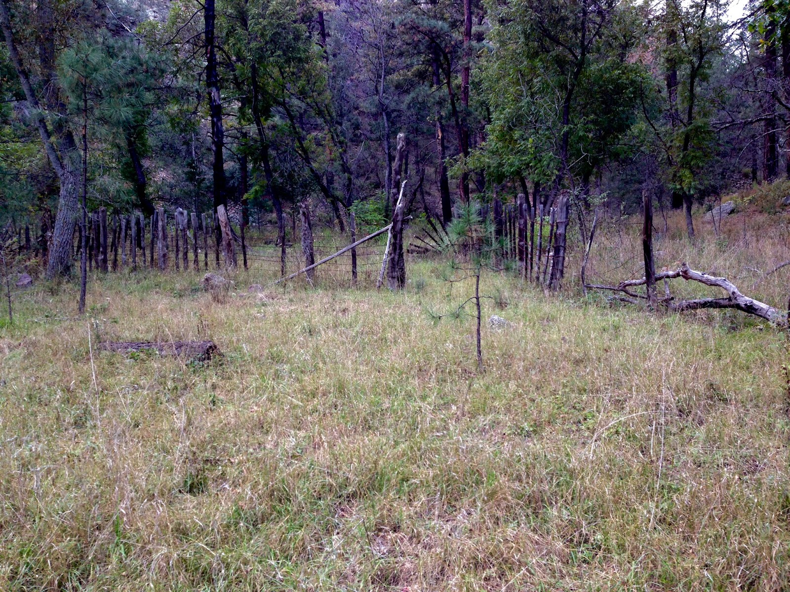 |
| corral a short ways from FT 129 trailhead |


At the second junction of trails is East Railroad Canyon and that's where I hiked this past Sunday(10/25/2015). Getting there was nice enough as the path for FT 129, and FT 128 is obvious and easy to follow,even through the tall grass that grows along it in many sections newly opened to the sun. Oaks, boxelder, cottonwood and black walnut provided some feeble fall color here and there but, overall the look was still very green with late summer wildflowers still lingering. Just like my experience over in the Lincoln NF, I believe the prolonged moisture and warm temperatures have resulted in a much less than spectacular autumn color year. Still it was a very pleasant couple of miles along the still nicely flowing stream, which didn't appear diminished at all from my visit this summer.The section beyond the Gallinas confluence is particularly lovely with many beautiful grassy flats perfect for a beginner backpacker's camping spot.


I turned off for East Railroad Canyon on a non existent path through the thickly matted grass and proceeded to follow a few cairns and blazes. There really was very little tread throughout the length of FT 130, and it's best to just stick to the wide side of the canyon whenever you can and look for blazes and or cairns. The blazes are frequently on blackened trees and are hard to see, and except for one section the cairns are pretty far between, as if the thoughtful and artistic cairn builder just lost interest or got tired.

 The problems with the trail weren't too important to me initially. I was staying along and in the stream looking for the little waterfall, that I've passed several times over the years and have never gotten a photo of. We came upon it quickly enough, less than a half mile from the trail junction. It was in good form, as the flow in East Railroad was more prodigious than either upper Gallinas or Railroad.In this narrow rocky section of the creek,moss grows on the cliff walls that drip with spring water.The streams continues with small falls and cascades above, and was a delight to behold after so many drought stricken years. Further on, I came upon a couple of other nice falls, perhaps only recently revealed due to so much soil and vegetation being removed by floods and fire. This used to be a dark, heavily wooded canyon, significantly narrower as well, which made it always seem a bit creepy compared to Railroad and Gallinas. Post Silver Fire, it's quite open and sunny , which also makes it a bit hot and probably not an ideal summertime hike.

 I had the idea of making it up to the junction with the Bypass Trail(FT 412) high up on the mountain,but the slow going through sometimes thick terrain with no trail to go on, made that highly unlikely. Still, I continued, curious to see what else the canyon had to offer. The fire has now revealed the steep peaks,cliffs and rocky defiles once cloaked by conifers, and I thought,that in some strange way,has given a view into these mountains true majesty. Raspberry and blackberry grew thickly and provided some fall flame. Most of the smaller diameter trees were torched,but a lot of the bigger ones, burned so deeply black at eye level, were doing fine high above. Two deer crossed the creek in front of us, and while I was shouting at Seamus not to follow, a golden eagle lit out from the thicket of live douglas fir above us. It was little anxiety producing to see this gigantic bird flap his wings with my 25 pound dog right below.
We eventually turned back a little after 3:00pm. I believe we were close to where the trail leaves the stream and takes off steeply on the north side. A late start meant we would not be getting up to the upper trail junction today, because we certainly did not want to be walking in the dark on the return. We found a little more tread on the downhill run including the crucial waterfall bypass up on the hillside. We were back at the truck at 5:00pm. The total mileage for this jaunt was somewhere between 8 and 9, I estimate.This was definitely what I call an adventure hike, not super hard, but not for the kiddies or the unseasoned.NOTE: Pay attention to the sign at the trailhead and its warnings about hiking in a burned area.
Recurring idea: I often speculate when hiking here when there is decent water, about its potential for being stocked as Winter Trout Water by NMDGF.
Another Recurring Idea- This area is ripe for shuttle hikes, if you have two autos by all means take advantage.
Trivia- this was the first place I saw a bear in the wild.
Labels: hiking, waterfalling
posted by Devon Fletcher at
8:28 PM
![]()
![]()


0 Comments:
Post a Comment
Subscribe to Post Comments [Atom]
<< Home