Rim Trail (FT 105) - Lincoln National Forest


 |
| One of the few old growth trees. |
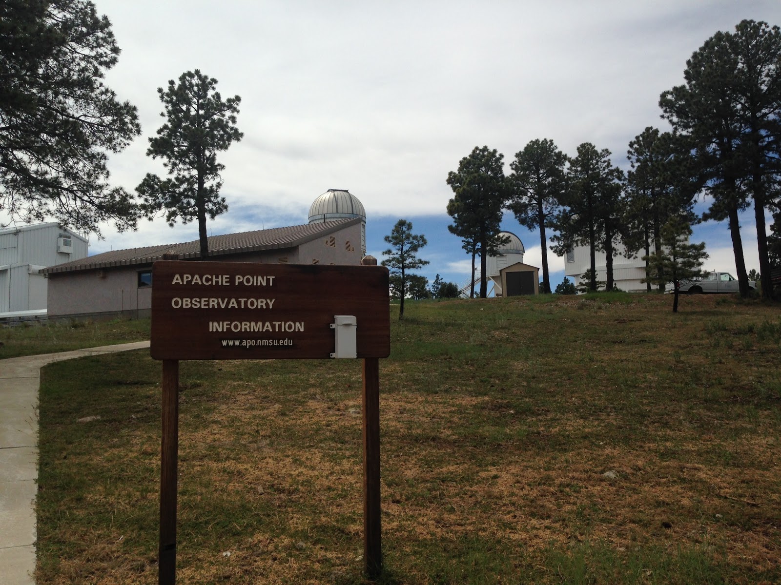
The trailhead is off the road that goes to Apache Point Observatory, which is off of the Sunspot Highway (NM 6563) a short ways past the intersection with the Sacramento River Road (Otero County 2). The trailhead is signed and there is small gravel parking area in front of gate intended to keep larger vehicles out. We parked and quickly saw a small forest service sign with T 105 on it. It's bit a confusing because the sign's little arrow points to the right, but the obvious track is straight head behind the gate.


We ambled downhill in a meadow for a short ways where there was another small sign and the track took a sharp turn to the right (southwest). We followed along an old two track, that parallels a small stream bed. It also had an easier walking cow path alongside it. We had to run the gauntlet of a large group of ornery cows as we went around a well house and small drinking tank.The trail turns again here and heads up hill and more directly south passing a very high fence on the east. From here the Rim Trail winds it way along the ridge passing hollows that are the headwater meadows of canyons that flow down the mountain to both the east and west. At times it becomes a single track, but mostly it has the feel, like other sections of the trail I've hiked, of a long abandoned road. Early on there is open spot with spectacular views to the forest plateau a thousand feet below where the reddish brown ribbon that is the West Side Road (FR 90) can be seen. The views continued out to the blinding shimmer of the immense dune field of White Sands and beyond to the San Andres and Organ Mountains in the distance.


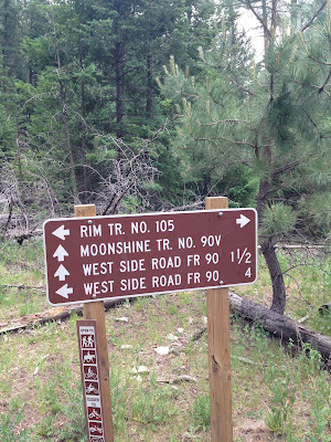
After the first mile the hike became a very up and down affair, topping out on a stony peak mostly bare of trees but covered with blooming wood rose. The descent from here was very steep, and I knew it would be lung buster and a calf burner on the return. Past this point a road paralleled the trail about 15 feet above us as we kept descending. The thunder, which had been with us since we started, was getting louder. I probably should've turned around but I had my sights set on making it at least to the junction with the Moonshine Trail( FT 90 V) that comes up from the West Side Road. Happily a short ways after another lovely flat meadow area, I was there. We walked a short way down the Moonshine Trail, which didn't look like it receives a lot of use, but turned around as it began to spill down the hillside between a break in the gray cliffs of limestone. Now it was time to burn rubber.


We had been walking the line between the blue sky to the west and the gray clouds to the east, but now the storm, which had seemed in the distance and trending away to the east, backed up and covered us. The rain started falling, and the thunder seem closer still. The steep hills we had walked down were hard going up. The bare peak had the added attraction of the danger of getting hit by lightning. At least with the dramatic drop in temperature and the steady wind, Seamus and I were cool. I've been in storms on mountaintops before, but it had been a long time and anxiety was creeping in.
We did get a little wet, but I was grateful that the heart of the storm was never that close. The rain and thunder eventually ceased and we walked the last mile or so in a much lighter mood.
Along the way there rabbits, jays, ravens and nuthatches. Bear and coyote scat were seen, and elk droppings were plentiful along the entire route. Many sections of the trail had numerous dead trees and downfall, but happily a new growth of pines, fir and spruce were coming in. The trail is mostly surrounded by a forest of second growth conifers, but one section was cut through a dense stand of gambel oak. There was even a growth of maples where the trail crossed the top end of a west flowing drainage. There are many beautiful places for camping with incredible western views never more than a few hundred feet away, plus a few to the east of the highest ridge of the Sacramentos and the Sacramento Lookout. Unfortunately there are no springs along this part of the route, but just beyond where we turned around there is Pine Spring very close to the trail.

On the way back, I drove through several areas where the road and hillsides were covered with several inches of hail. It looked exactly like it had snowed. I felt lucky.

Labels: hiking
posted by Devon Fletcher at
10:28 PM
![]()
![]()


2 Comments:
Hey there! I enjoy your blog - do you have any recommendations for fly fishing this summer in the Lincoln National Forest? Trying to find some info and see what might be a good spot! Thanks for any advice and keep up the exploring and blogging!
I believe the only stream fishing will be at Three Rivers Creek and Rio Ruidoso. There are several man made lakes near Ruidoso as well. Bonito lake is still closed, I think, but check the NMDGF site. Bonito Creek and South Fork are fishless. Sacramento River may have a very few fish. Fresnal Canyon below the tunnel has fish but it's quite an adventure getting in there.
Post a Comment
Subscribe to Post Comments [Atom]
<< Home