Organ Mountains-Desert Peaks National Monument - Bignell Arroyo Oxbows


If you enjoy hiking cross country on moderately rough, monotonous terrain to a destination that probably isn't worth the trouble, then this is the hike for you. Did I mention all the up and down?
I had spied the shadows of the oxbows of Bignell Arroyo on Google Earth many years ago. I had also seen some photos in a Geological Circular, but had avoided going out there for a look-see until last week. One reason was because there just isn't any good way to get there without crossing private property, which I wasn't going to do. Another was, friends David and Nancy had told me they had been out there and there wasn't much to report. Last, because my many experiences in practically every nearby named arroyo had not been pinnacles of excitement, I have not been motivated to hike the last remaining few that were un-visited.
But, I was bored and I wanted to get out of the house at least one more time before my spring break was over. So off I went, thinking in my mind this would sort of be like the short jaunt I took to see the scenic Fox Cliffs last month. It wasn't. Short or all that scenic, that is.
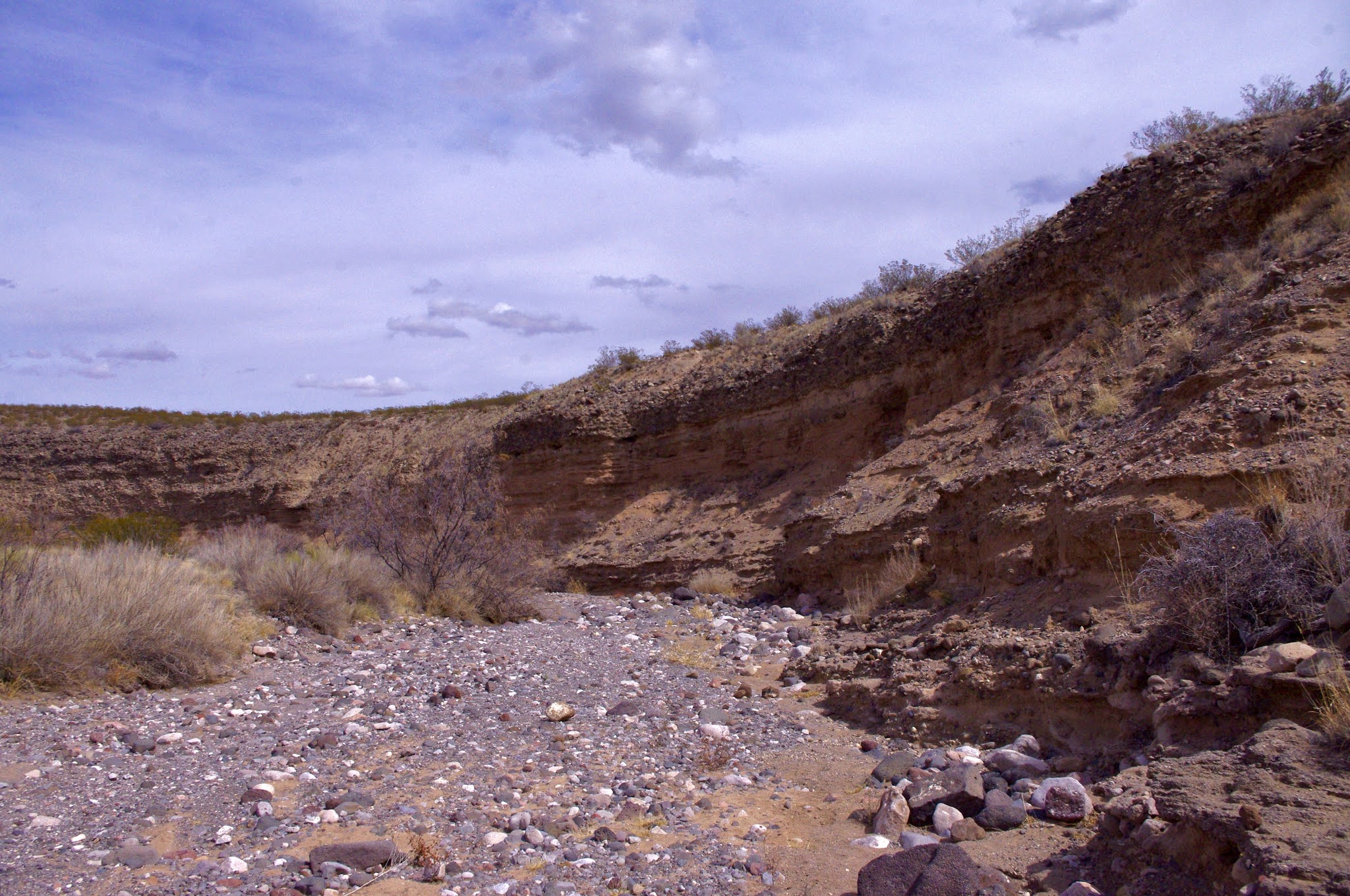
The tall walls with their geologic layers were nice, as were the wacky conglomerate boulders that had tumbled down from the upper shelf.


I heard a few small rocks click-clack down to the growing pile of gravel at the base that reminded me that this is actively changing landform. I was also reminded (once again) while looking at a row of bare desert willows along the sandy streambed, that the desert is soooo dry this spring. It still has the dead look of winter, which is a vivid contrast to the landscapes I encountered last March, green and awash with wildflowers.


A few lizards scampered about, and I watched crows go aloft from the cliffs to glide on the breezes. They talked, and I listened. The once sunny afternoon grew windy and overcast as I used a few cow trails on my way back. Along the way I found a corner marker placed by US Land Office survey, and a cross of white on the ground, which I found out later is placed at what is called a graticule intersection on topo maps. Don't ask me what a graticule intersection is because reading about it made my head hurt.


posted by Devon Fletcher at
5:22 PM
![]()
![]()


0 Comments:
Post a Comment
Subscribe to Post Comments [Atom]
<< Home