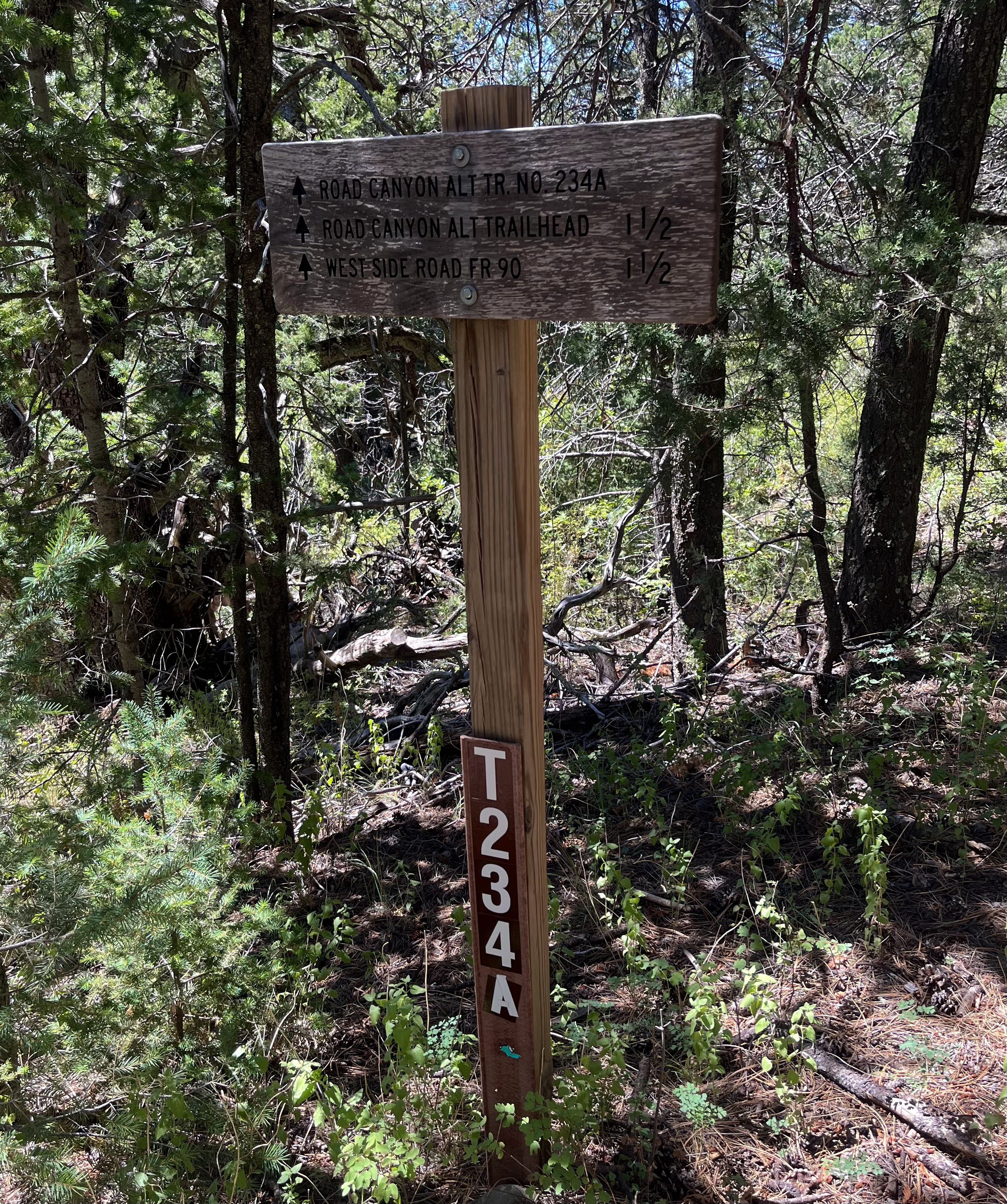
Lincoln National Forest - Road Canyon Trails (FT234,234A)
 |
| Large diameter Doug-fir |


 |
| Tall, straight oak |


I've been pursuing hiking every "official trail" in the Sacramentos, sort of. There's a few that just don't appeal to me. There are others where the difficulty of access, or just the length of time in getting to the trailhead for a day hike makes checking them off my list highly impractical and most unlikely. Plus, I am frequently getting sidetracked by hikes with no trails or unofficial trails. Last year, around this same time of year, I did the upper reaches of the Alamo Canyon Trail (FT109) in a loop with trails 110 and 111.
Well, I figured it was time to cross off another one and this time it was going to be the Road Canyon Trail ( FT 234). Now I realized early on I wanted to do a hike using FT 234 and FT 234 A, the Road Canyon Alternate Trail, which actually stays in Road Canyon all the way to the FR 90 instead shooting abruptly down the hillside. Now, I couldn't make up my mind about whether to start from the bottom and go up and then back down or to start at the top and do the reverse. The problem with starting at the bottom is the long drive on on the rough and winding West Side Road which would probably take close to 1.5 hours itself( never mind the first hour plus from Las Cruces). The good part of starting at the top is a much quicker drive on paved roads that would take less than half the time. The downside should be obvious if you have ever hiked any of these trails on the west side of the Sacramentos: the unrelentingly steep ascent back up to the trail head.


I chose to start from the top, beginning off the road to the Apache Point Observatory, I began walking down an old road briefly before reaching the trailhead and going down, down, down. Early on there is some big timber: Douglas-firs with huge diameters that I always enjoy encountering. The trail was mercifully less steep than I expected, steep, yes, but not in the league of the Heart Attack Trail a few miles to the north. For the first mile or so, I was mostly in shade, occasionally walking through clearings lined with shrubby chokecherry just beginning to turn color.
 Before the junction, where FT 234 and FT234A split, I was hiking high above the dry creek bottom. I was kind of wishing I was hiking down there in the canyon itself, but it looked to be a tangle of downfall, shrubs and small trees with only the narrowest of swales to actually walk in. I stayed on the trail. There were many, many deciduous oaks along the hillsides and this would be great canyon for fall color. After the junction there began to be bigtooth maples as well, mostly down in the stream course, but with a few higher on the hillsides. Aspens were not in abundance but there were a few clusters here there.
The more I thought about this canyon's fall color potential, the more a plan began to form for the future. I realized this hike could be done as downhill only shuttle. The lower trailhead is so far out on the West Side Road that there really wouldn't be that much driving between the trail heads using the Sacramento Road and the far west end of the West Side Road ( I checked when I got home and it's only about 16 miles one way). There is also the possibility of doing a lollipop loop with the two trails and the road, but let me say that road miles are always long ( and frequently hot) miles and the distance between the two trailheads is 1.75 miles

But neither of those was the hike for this day. At the junction, I shed the long-sleeved shirt I had been wearing over my tee. The lower down I went, the warmer it got. Trail 234 goes uphill initially off to the northeast here. It appears on the map that it makes pretty rapid descent, in about half the distance to the road compared to Trail 234A. That trail, my trail for the rest of the way, follows Road Canyon as it curves to southwest. Junipers and the red dirt of the oxidized sandstone/shale formation that the West Side Road is built upon began showing up as the trail descended to the canyon floor. It crossed back and forth a few times and I made it to the lower trail head about an hour and twenty minutes after starting. The trail had been an easy to follow single track in its upper reaches, but more like the remnants of an old road once in the canyon bottom. This trail is one of only handful in the Sacramentos that is specifically designated as non-motorized and it was nice to see, perhaps just because it is so remote, that this designation was being adhered to. No signs of bike travel were evident either, I think they stick closer to Cloudcroft. There were signs of horse travel though which is nice. Just remember they (horses, not bikes) have the right of way.

 |
| West Side Road |
After drinking water and resting a bit, I commenced on the trudge back up the hill. There's about 1700 feet of elevation gain here in about 2 miles. I set the timer on my phone, and took short breaks at 15 minute intervals. The time to the top (including my lunch stop) ended up being about 2 hours and twenty minutes.
Wildlife was mostly scarce, but there were nuthatches, woodpeckers, juncos and towhees keeping me company with their chittering, chattering and rustling about. I spied a healthy horned lizard with the brilliant orange "horns" they have in these mountains. Chipmunks scurried to their hiding places at my approach. It was a beautiful day to get out and a nice if unspectacular hike. Note: Although I did catch a far-off glimpse of the distant Organ Mountains early on, there are almost no long views to be had along this hike.
Labels: fall colors, fossils, hiking, scenic driving
posted by Devon Fletcher at
3:08 PM
![]()
![]()


0 Comments:
Post a Comment
Subscribe to Post Comments [Atom]
<< Home