


I drove back, after deciding I'd driven far enough and it was probably a
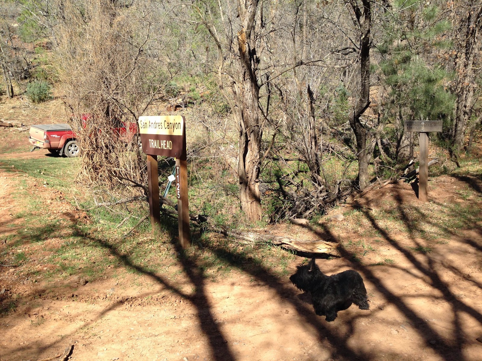
bit hot to do the Gobbler's Knob Trail, to the Upper San Andres
trailhead. We got started amongst the newly leafed out maples and oaks.
There was a trickle of water in the creek. At first we walked along the
old road on the south side of the creek. In short order I spied the
first of several spring fed livestock tanks. The water was that slightly
cloudy, light grayish blue color typical of springs and creeks in
areas with limestone bedrock. I walked down to the muddy water's edge to
see if there were any fish. I thought I saw one, but on closer
inspection it looked to be neotonic salamander. It had the look of a
giant (> 8 inches) tadpole. I've seen this once before in Nambe Lake
in the Pecos Wilderness of Santa Fe National Forest. We stayed on the
streamside trail rather than returning to the road. We checked out
another one of the ponds. In the vicinity there were some artifacts of
an old homestead. In just a few steps upstream was the trickling
spring, emerging from the mud, that supplies all the water for this
series of ponds. The trail crossed the creek and went above. After
awhile, I realized I was walking on the sunny south facing side of the
canyon and though it might be better to rejoin the road on the other
side. Mistake. We made our way down and up and over and after stumbling
around in the fallen trees and the bright green maple bushes figured out
that the road was no longer there and probably had rejoined the trail
at some point.


Unfortunately, that waste of energy was performed right before the trail
got steep in earnest. We regained the track after backtracking a bit
and now hiked well above the stream. From this point on the trail goes
from steep to steeper to steepest in a forest of large pines and firs.
Finally, just when I thought we were going to need a ladder, there was
the first of a few switchbacks which helped some, though not a lot. We
made it to the to the top and the Rim Trail(FT 105) and Forest Road 640.
I saw from the trail sign that the Heart Attack trail was only 3/4 of a
mile to the north and decided to make our hike a loop.


It was pleasant walking among the meadows and budding aspen. There are
many natural depressions up on top of the ridge , which in wetter times
probably hold snow melt and summer rainwater. We arrived at the Heart
Attack Trailhead, a pretty clearing with large oak trees, and started
down.When a trail is this steep, it quickly becomes a bit ridiculous and
all I could do was laugh and mumble as gravity pulled me down in what
can only be described as a controlled fall or slide. I was grateful, as I
stumbled and jogged (against my will), that I was not going up it,
because it is in that direction from whence its name surely derives. This upper
part is just a gouge in the hillside but eventually the gradient
lessens as it steered us toward the dry creek bed. In very fast time, we
were back at the West Side Road( FR 90).


We now had an unknown mileage of road walking back to the truck. I worried a bit on this because I hadn't really planned on the loop and hadn't even brought a map or my GPS. It ended up being about 2 miles of fairly level ,but at times unshaded and hot, walking. There was quite of bit of traffic on the road which was a bit worrisome , but all the drivers were enjoying themselves at very safe speeds. This would be a beautiful area to return to in the fall because of the abundant maples and deciduous oaks.
Andrea and I and the dogs did a second trip to San Andres Canyon in early October, 2016. The maples were only beginning to turn. I'm still wanting to return here and time it just right. I think if I did it might be as spectacular as the year I caught Apple Tree Canyon at its peak.
Note: on the Forest Service topo map there is trail listed as the Upper San Andres ( FT 125) which starts at the same trailhead and looks like a straight line going up the mountain. I never saw it, nor by the look of it, would I want to try it if it's there.
Labels: hiking


0 Comments:
Post a Comment
Subscribe to Post Comments [Atom]
<< Home