 |
| Tonuco Mountain |
 |
| Sierro Kemado Peak |
 |
| View toward Mesa Azur |
 |
| View toward Sierra Alta Peak ( left of center) |

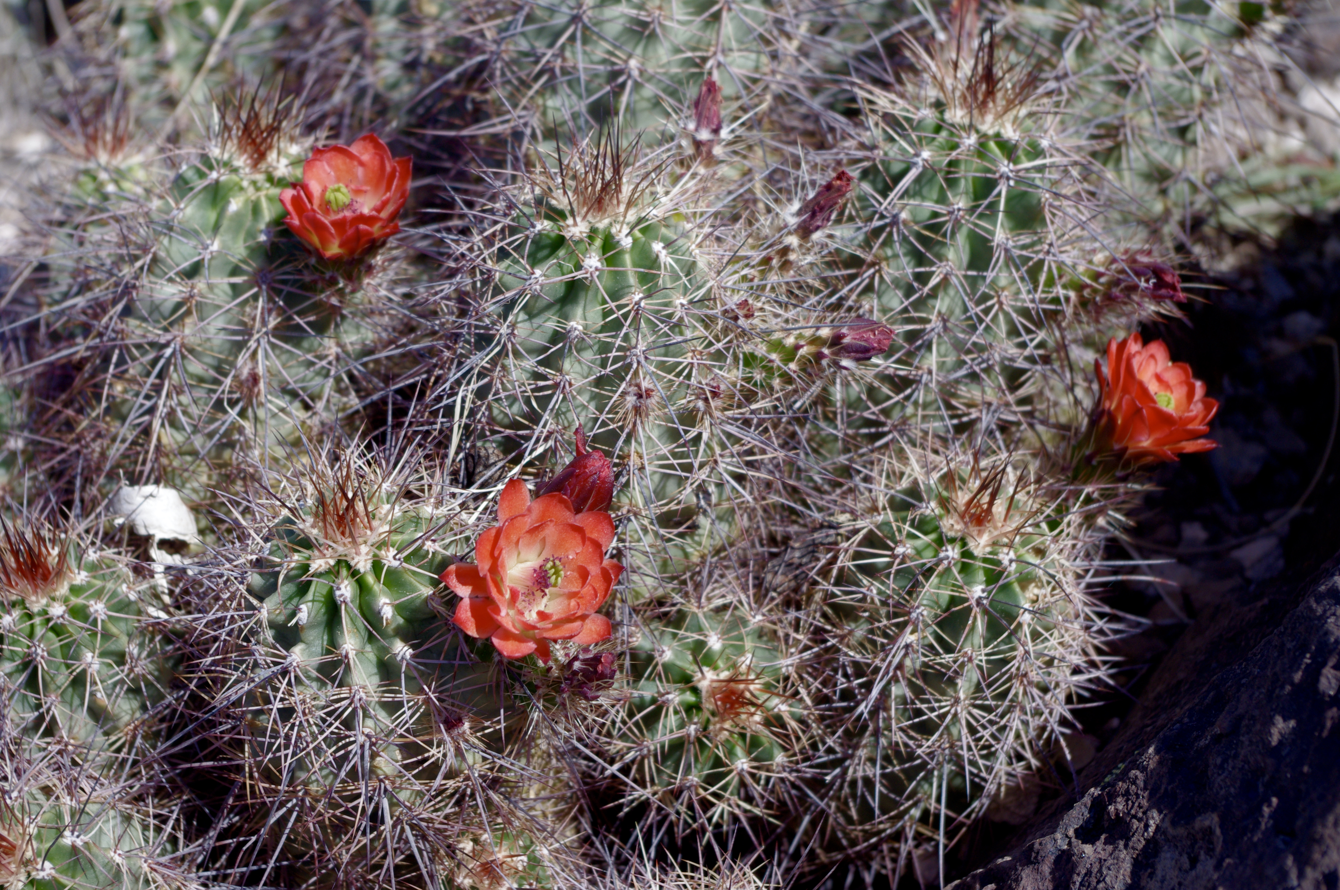
From where I parked at a water trough just off the Barksdale Road( County Road E OO6), Sierro Kemado (don't blame me for the spelling that's how it's written on the topo map) looks to be an unassuming gently rising rounded ridge, unlike many of the other peaks in the range which are very steep sided terminating abruptly with flat tops or with true points. Looks can be deceiving. When Seamus (my Scottie dog) and I reached the top we could see it was a hill cut in half. Rocky cliffs drop sheerly away for the first hundred feet or more followed by very steep angled talus slope for the next few hundred feet which ends in the broad table top north bank of Broad Canyon; the largest arroyo on the east side of these mountains. The views all around were fantastic even though we'd only come up 600 feet. The Uvas are easy to take for granted but are really quite beautiful, and maybe even a bit majestic- especially the higher elevation central core of the range: pointed peaks and long mesas piled up on one another culminating in the serene Mesa Azur. We did a three mile loop going up one ridge and coming down another.The mountains are greening up a little this spring. Mexican poppies and other wildflowers were blooming. A few cactus were showing their bright red blossoms as well.

The going was pretty rocky and I wished I'd worn my real boots. Seamus did alright until he walked through a patch of some kind of weed or wild flower that left him covered in tiny sticky seeds. I saw the largest horned lizard I'd ever seen, but no snakes. It was very nice to sneak in one more desert hike on this cooler day. Sorry, I didn't get any photos of the cliff side of the mountain.
 |
| Top of Sierro Kemado |
Labels: hiking, Organ Mountains/Desert Peaks National Monument


0 Comments:
Post a Comment
Subscribe to Post Comments [Atom]
<< Home