El Camino Real Trail

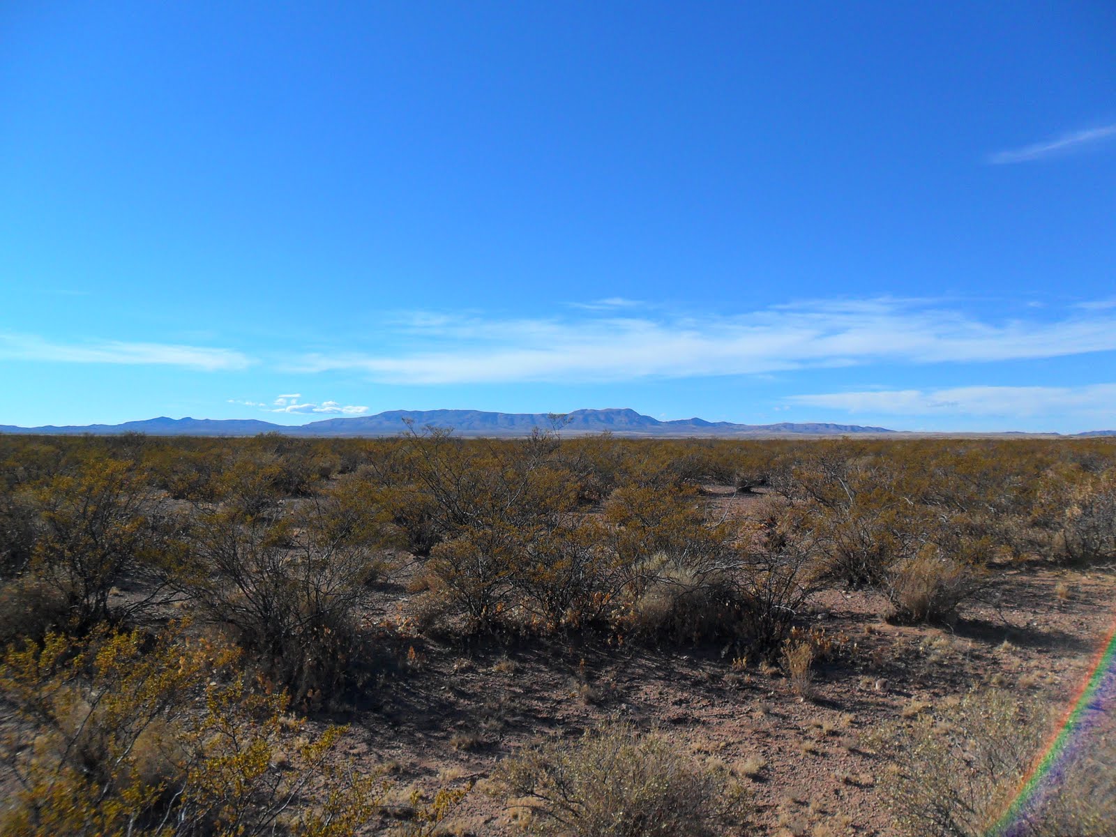
We hiked the two interpretative trails the BLM has installed along this section of the old Camino Real.These trails are accessed by good county roads that run between the Caballo and San Andres Mountains.This area has been known since the early colonial period as the Jornada del Muerto. The first site is about 10 miles from the Upham exit on the wide, well maintained gravel county road. There is no sign indicating the turn-off, I just happened to notice the red kiosk roof near where the powerlines cross the road. This is the Point of Rocks trail. We hiked along a rocky ridge which overlooks a large ephemeral lake bed . We extended the hike a little bit by walking down the powerline road to the lake bed itself. Another 10 miles down the road is the Yost Escarpment trail. This longer trail took us past a cattle tank up on the low escarpment to an original section of the El Camino Real. It ends at an overlook with the view towards the Spaceport ( still under construction). Note to any rockhounds: Carnelian agate can always be found in this area. Most pieces are small but sometimes chunks over 1 inch can be found. UPDATE (12/31/22): The road is completely paved now. A few petroglyphs and grinding mortars can be found in the Point of Rocks area by leaving the trail and exploring the rocky ridge and the boulders that have tumbled off of it.
Labels: hiking, rockhounding
posted by Devon Fletcher at
5:56 PM
![]()
![]()


2 Comments:
Can you bushwack beyond the interpretive trail. I read that the trail is sort of visible for almost 4 miles? blm open desert I'm guessing?
It's been awhile, but I do remember hiking past the end of Yost Escarpment Trail for a ways. I don't know if we were on the original trail or not. It wasn't easy to see once off of the higher ground.If you turn around at the end of the Yost Escarpment Trail you can follow it for about a 1.5 miles heading very slightly southwest. I do remember the original trail is visible from a higher point along the hike. There was an interpretative sign pointing it out, so you could cut straight for it from that point too. I don't know how easy it is to follow on the ground. It's very straight through this stretch though. Further south it runs very close and parallel to road. Once again though how it easy it is to see and follow at eye-level, I don't know.
Post a Comment
Subscribe to Post Comments [Atom]
<< Home