Sawtooth Mountains - Cibola National Forest
 |
| The Tower |


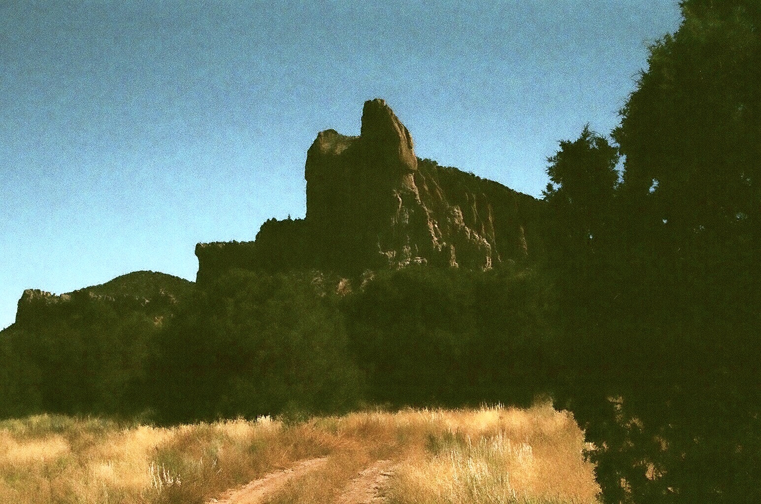
Our second day out I wanted to explore the western arm of the Sawtooth Range. Here there several detached mountains with rounded peaks, unremarkable if it weren't for the myriad of erosional forms sculpted in their volcanic tuff. Pinnacles, towers, fins and hoodoos all occur in the bare tan and pink cliffs. We drove down Forest Road 6A this time, and turned off at FR 325 heading east and parked just north of Monument Rock at a fork in the road. Choosing the left fork we hiked toward an amazing tower that must be at least 500 feet high. Later we drove west from FR 6A on very primitive road that took us closer to Castle Dome, Lone Mountain and other formations. It was already pretty warm and we decided that further hiking in this open terrain would be downright hot, so we picnicked under some piñon trees and then headed out to Pie Town. Our last day I wanted to do a drive on Forest Road 66 which connects Highways 25 and 60 and would have made a nice loop through the forest. On the west side the road initially goes through some subdivisions and then enters the forest with great views of the very steep Anderson and East Sugarloaf Peaks that are part of the Crosby Mountains.Unfortunately the road is blocked by a gate just a few miles in. From the east side, the same road becomes very rough and uninviting after only a mile or so.


 |
| Monument Rock in the background |

Labels: hiking
posted by Devon Fletcher at
8:39 PM
![]()
![]()


1 Comments:
If you climb the ridge to the southeast of the tower you mention, you will see a spectacular view of it.
https://www.flickr.com/photos/casciophotos/sets/72157630604272092/
Post a Comment
Subscribe to Post Comments [Atom]
<< Home