Pueblo Ruins - New Mexico State Trust Lands
 |
| wall corner |
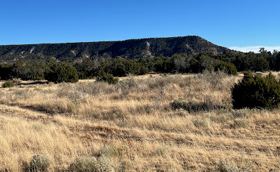
This site is in far northern Catron County on NM State Trust Lands pretty close to the one we visited last year. Another site that I haven't visited yet is very nearby, also on State Trust Land. A site on private land where the walls are clearly visible on Google Earth is also close. Most likely they were all contemporaneously occupied. It was a windy day so the long drive from the cabin didn't seem to matter much. We would've probably been stuck inside anyway. The hike was short and the wind not particularly stiff while we explored.
.jpeg) |
| sherds on an ant hill |
Sherds were everywhere again, as well as lithic debitage and fragments of stone tools. The built-up rubble piles of mostly unshaped stone and the artifact scatter covered about 5 acres. I'm pretty sure I could make out the outlines of room blocks in the grass and thorny shrubs (which seemed to proliferate on disturbed land). There was also the corner of a wall (which I'm assuming is original) beneath a juniper.
 |
| large pestle fragment (I think) |
On the way back we took the Saulsberry Road that runs from US 60 to the Green Gap Road. It was a very nice backcountry drive, meandering through the Cibola National Forest, private ranches and State Trust Lands.
Labels: archaeology, hiking, scenic driving


.jpeg)


1 Comments:
Wonderful!
Post a Comment
Subscribe to Post Comments [Atom]
<< Home