Tuesday, October 29, 2024

Gila National Forest - South Fork Negrito Creek

South Fork Negrito Creek


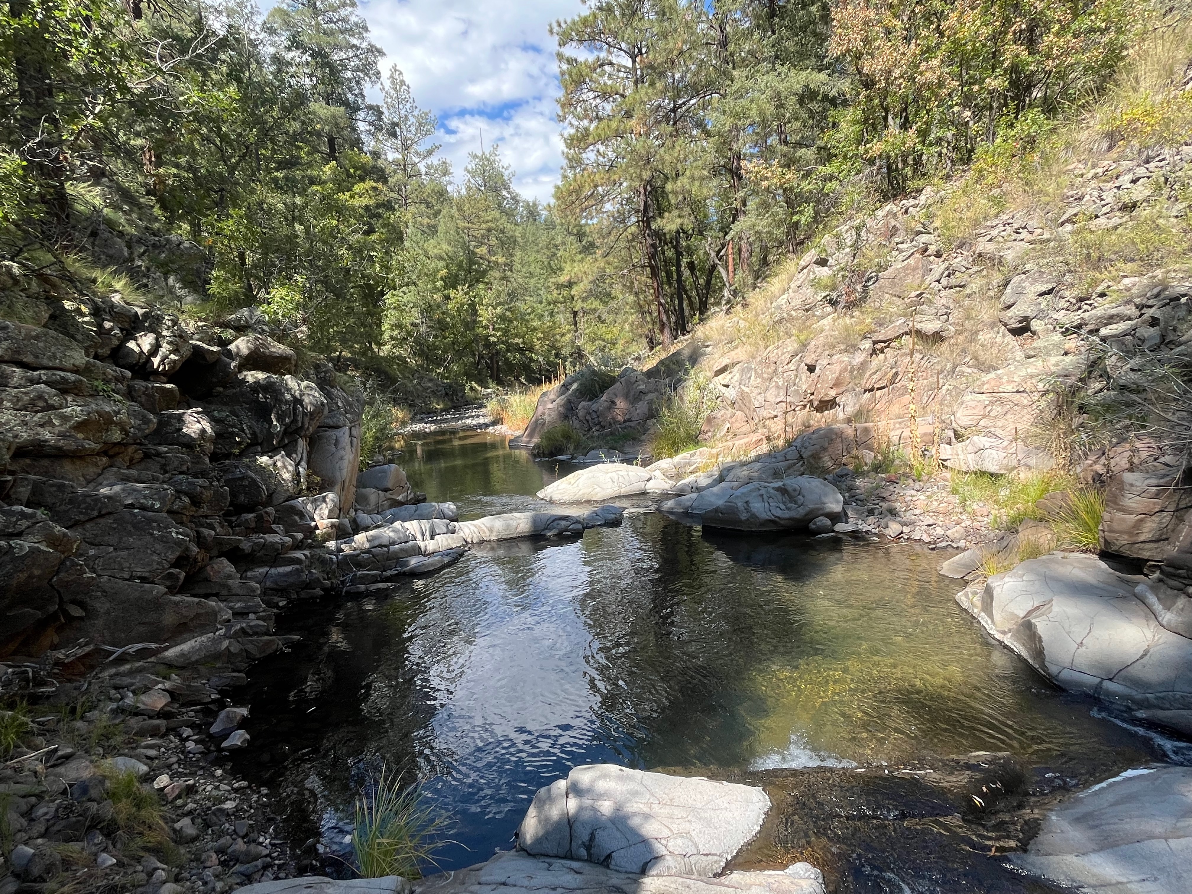
A place like this, the box canyon of the South Fork Negrito Creek, is the essence of the magic of the Gila. Driving for an hour on FR 141 after leaving  Reserve, up and over mountains, crossing canyons and around many treacherous bends  all through dry (and logged) pine forest monotony to finally descend to a live stream seemed utterly impossible. But there it was, a little sickly and shallow at first, but as it got squeezed between red cliffs hundreds of feet high, it became an unquestionable delight as it rushed over bedrock cascades and pulsed with tiny waterfalls. 

The pines, of much greater stature than on the hills, are still here, but there are also granddaddy Douglas-firs, and  young aspens. A few immense oaks and cottonwoods. Grapevines with grapes (!) wove themselves into the rocks. I hadn't seen wild grapes in so many years at first I didn't know what I was looking at. Streamside willows brightened the picture in places and in the one intervening meadow, waist high grasses and dying wildflowers dominated the scene. It was the first day of October and fullness of summer was just beginning to fade into the beginnings of autumn with many leaves sporting just a touch of gold, while others had completely given over.

 There is no trail, and I had to do quite a bit of scrambling through narrow passages that cut the bedrock. Early on, there were pools with fish. Alas, all of them suckers. Much lower down, though there were many deep and cool pools intervening, there were a few more fish: suckers and one other species, but no trout. It hardly mattered, as fishing just ended up being an excuse to be somewhere with water. And it's the water that makes this place and others like it in the Gila precious to my soul.

 I kept going farther and farther. I would tell myself I was going to turn around, and then go farther downstream still. It was far too warm for October as far as I was concerned, and even though elevation drop wasn't particularly significant, I did turnaround when the summer heat still lingering in the lower canyon sifted into my pores and I came to terms with my fatigue and the realities of time.

 On the way back, a bee (or some other stinging insect) got me on the arm as I crossed over some deadfall branches. The effects were more annoying than painful in the long run. Some days what I really want, more than anything, is more time to just be in the place of my choosing. This was one of those days.

 A note on FR 141. This was once a paved road, but these days there seems to be no will or means to either maintain it as a paved road or convert it completely to a gravel road. So, we end up with paved sections that are about fifty percent potholes, along with gravel sections that are so washboarded steering at any speed is compromised. In the shadows of the morning and then again in the shadows of the afternoon, I did my best to dodge the biggest and deepest of the depressions. I was mostly successful, but when I wasn't  it was  quite disconcerting. About twenty miles in from the Lower San Francisco Plaza it mercifully changes to a decent all gravel affair.


Labels: , , , , , ,

Wednesday, April 19, 2023

Florida Mountains Wilderness Study Area - Victorio Canyon

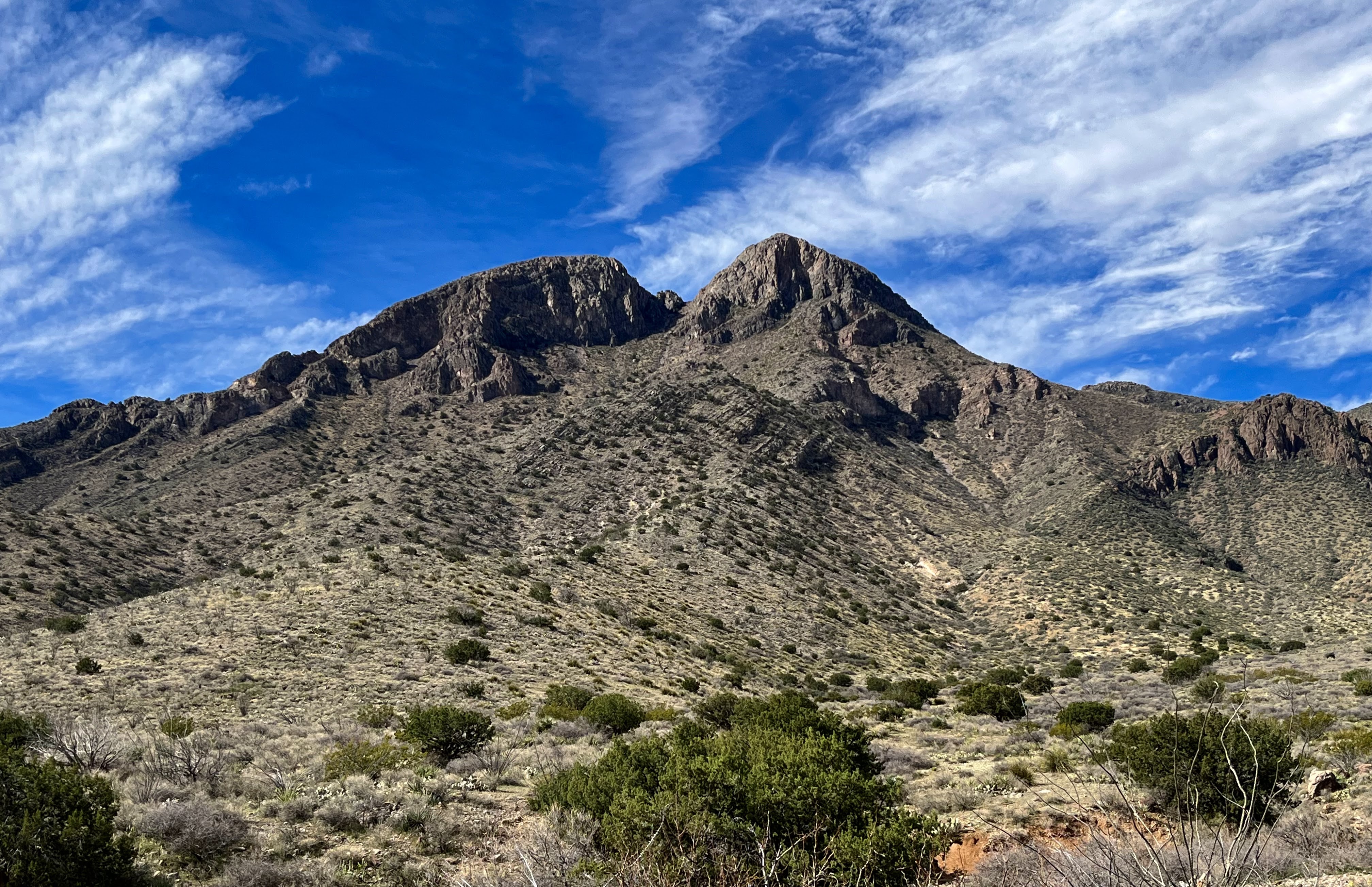
Gym Peak


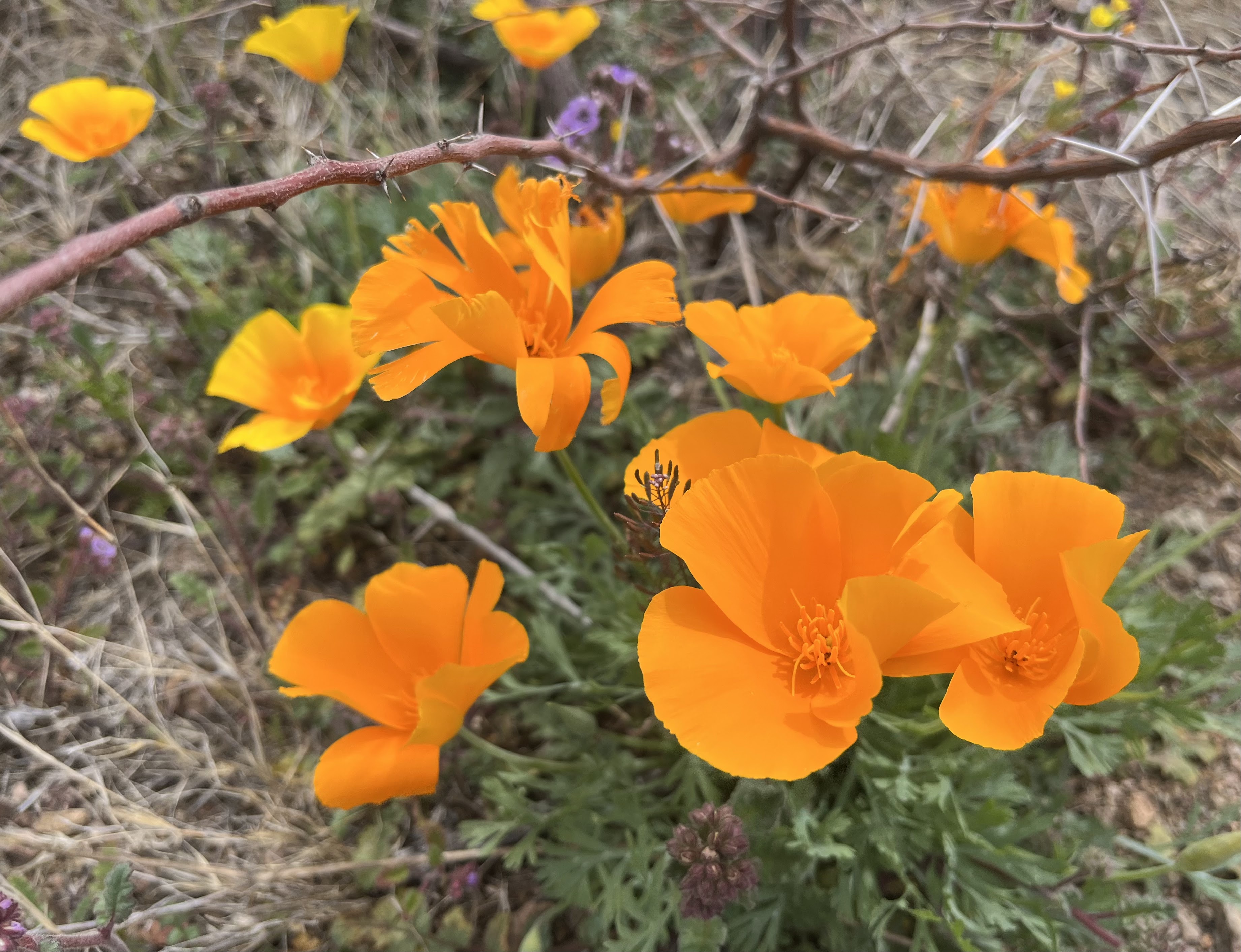
Barrel cactus and poppies


Baldy Peak upper right


View east to the West Potrillos. Ranchette grid pattern is seen in the middle distance.


At the saddle between two Victorio Canyon tributaries


Three Little Hills area


I had intended to visit the Victorio Canyon area back around Thanksgiving (2022), but a serious washout on the Gap Road had me backtracking to do the hike to the Bradley Mines instead. Well, this time I was able to get through, but let me just say the road is not good and it only got worse the farther south I went on it. Count on an hour once leaving the pavement past Rockhound SP if you intend to visit this area.

 I had originally thought about doing a hike on the southwest side of the range, but with high winds predicted for the early afternoon, I thought a hike on east side would give me more time before they arrived in force from the southwest. The steep wall of the main ridge of the range would act like a massive buffer. I was definitely right about that, although when I first got out of the  truck a few strong, random gusts had me thinking I had gotten the whole thing wrong.

 Anyway, I set out cross country through the poppies and the weeds until I picked up the road (which parallels Victorio Canyon) and then walked briskly along it until leaving off to go cross country again when it took a turn to the north to a corral area. Oddly enough there were couple trucks there that I could see in the distance. They didn't seem to be camping, so perhaps they were hunters out scouting around.

Shortly, I was all the way back at the hidden tributary canyon whose western slope was covered in piñon and juniper. I trucked along, sometimes in the stream bed, sometimes along side it, admiring the surround of cliffs and peaks as I climbed higher. 

Eventually, I climbed back to the east to a saddle well below the towering Gym Peak. I lingered on the saddle a bit. It was such a nice area with tall grasses and beautiful views, but finally I  began my way very roughly down into the next canyon over from the one I ascended. From  where it bottomed out, it was an easy push back to the truck, with the long bone jarring return ride awaiting me.

 To break up the monotony a bit, I stopped at several intervals to take photos of this years abundant poppy bloom, which definitely helped promote the overall positive feeling I took away from this trip.

Labels: , , ,