Pueblo Ruins - another site, New Mexico State Trust Lands

.jpeg) |
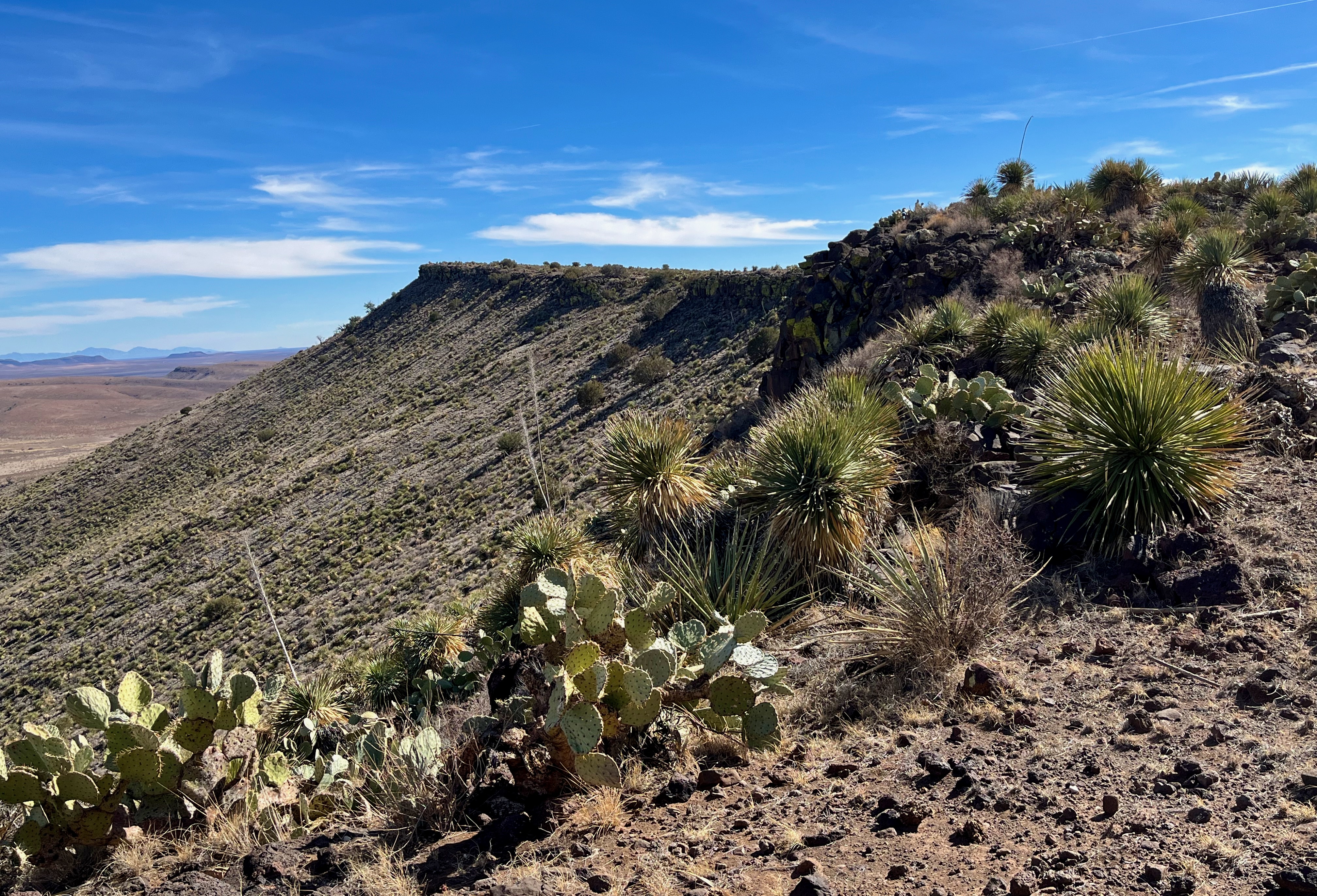
| Mariano Mesa |


 |
| Corrugated sherds |


.jpeg)

 |
| Sherd and stone tool |

.jpeg) |
| Rubble mound |


I visited this site, which is close to two others in far northern Catron County that I've written about in this blog, in early March on the first half of my Spring break. We had three blessed days of sun, 60 degree temperatures, and most importantly; relatively mild wind conditions. It took over an hour to get there from the cabin on Horse Mountain, and then I was given a 40 minute delay in getting started, because as soon as I emerged from the truck at my parking spot, a loud hissing could be heard coming from my driver's side rear tire: a flat. I was a little put out as it seemed my little factory lug-wrench no longer seemed to fit my lug nuts. Somehow I made it work for five, but the sixth was very stubborn. I was getting a bit exasperated when a Catron County sheriff's deputy (Officer Taylor) happened upon the scene asking if I needed help. I was telling him I couldn't get the last lug nut off, after which I gave it one more desperate kick and small miracle; it loosened it. I told him he was good luck and he proceeded to help me out changing the tire. Very kind of him indeed. One last wrinkle. After letting the car back down I realized that the jack was stuck. I ended up having to back up to knock it loose. Before he left Deputy Taylor and I agreed that it's always something that will come along to complicate things. As many flat tires as I have changed, it seems a rare thing indeed that the entire procedure comes off completely routine.
Well, now I could finally begin my little hike. Through the little fence and I was off pounding through the grass. I was going at pretty good clip and probably would have over shot my destination before veering to my left as planned if I hadn't casually checked my On-X app. As it was I was there in a much shorter time than I had anticipated. After climbing up a small hill and finding the trash from a vintage campsite, I poked through the junipers and was upon the site itself.

As with the other sites, there were two distinct sets of room blocks. Grass grew thick on the rubble mounds, but around the perimeter there were patches of bare dirt and ant mounts where pottery sherds and lithic flakes could be found. I circled around the ruins at least twice, then I checked out the sand wash at their base and wondered did this "creek" hold water in ancient times? Perhaps, perhaps not. I knew there was a spring less that a mile south (from maps and Google Earth) of the ruins, but given my time delays, there wasn't going to be time now to visit it.
.jpeg)
As always, I want to linger at places like these. Soaking something in that I'm not sure exactly what it is. I guess I was as satisfied as I ever get when I decided to hoof it back to the truck.
Labels: archaeology, hiking
posted by Devon Fletcher at
9:47 PM
0 Comments
![]()
![]()