Water Canyon Trail( FT 76), Mount Taylor- Cibola National Forest


The next day we were at it again. This time we were out to tackle the Water Canyon Trail( FT 76) that starts high on the east side of Mount Taylor. We had to get there first. Taking a wrong turn and driving for several miles down the poor quality FR 193 didn't help. The sign for the Mosca Lookout intends for you to not take the very next right, but the one after that, on the very high quality Forest Road 453. Well, it's high quality up to last mile or so where it becomes steep, rocky, and rutted with one large hump after another which I guess are there to help channel water away. Along the way several large jackrabbits crossed in front of us, their ears glowing in the morning light. I had thought they were strictly a lowland species and was quite surprised, but happy to see them.The vehicle journey flattened out at the trail head, where expansive views of Mount Taylor, and a huge swath of New Mexico to the east take over. Just to north was Mosca Peak Lookout.

We parked near the large trail head sign which indicates that this is the trailhead for the upper end of the Gooseberry Springs Trail( FT 77) and Water Canyon Trail. Actually, the Water Canyon trail is back along the road less than hundred yards away marked with small, plain wooden sign. You may read that Water Canyon Trail follows an old road for first few miles or so. This is no longer the case, although the road is still there and can be used as alternative, a narrow foot trail that switchbacks down the grassy mountainside is now the preferred non-vehicular route.

Those switchbacks brought us down quickly into the forest. Along the way we had views of the spruce forest that grows at these lofty altitudes and the wreck of an automobile laying mutely on its back. I don't know the make or model, however, because it's very steep indeed to leave the confines of the trail.
Down, down we went into a forest of huge aspen trees, and we soon reached a flat open spot with some pipes, valves and a spigot- no water though- I tried it just out of curiosity. There was also another sign here pointing down the trail. I found out later on the return trip that this where the road comes in and essentially ends. I knew this, because there was group of about eight people who had driven four ATVs in and had a tarp set up over them as they sat in chairs, chatting and laughing while preparing to cook some steaks( I could see one big beautiful porterhouse as it was lifted up) over a campfire. I must have stood there 5 minutes watching them in plain sight less than 30 yards away, but they never noticed me.


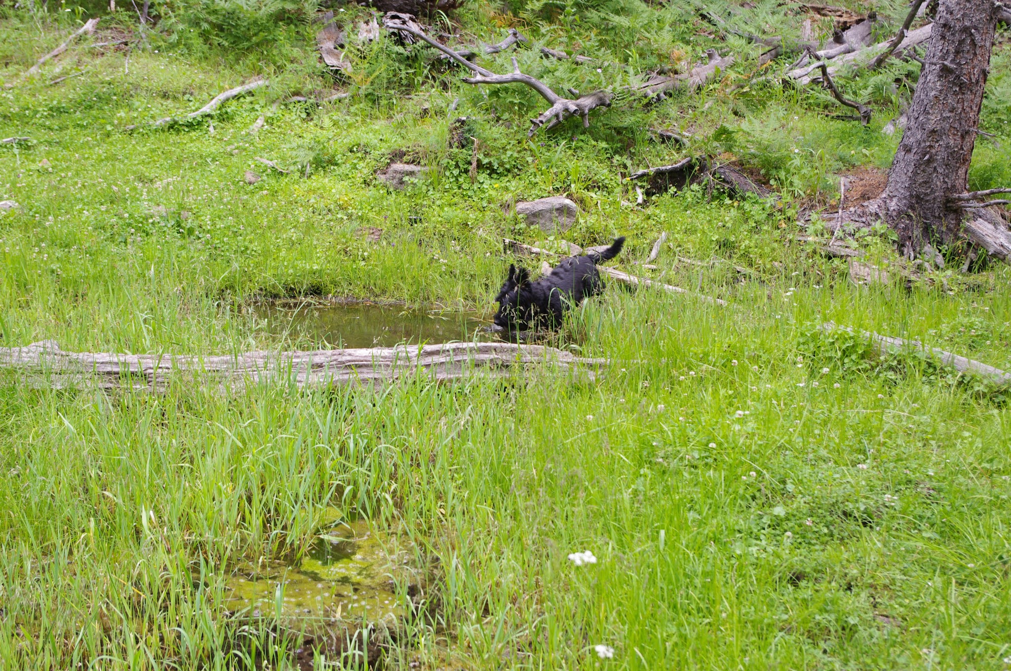
Soon a spring appeared flowing across the trailhead, and from that point on we hiked beside a flowing creek. We saw a group of tom (or is it jake?) turkeys crossing the trail in front of us, and at our feet were several deposits of fresh bear scat. A stronger spring appeared further down near the remnants of old beaver ponds. These were grassy, boggy areas with few trees, lush stands of ferns and muddy puddles where the many frogs would leap in at our approach.


In places, we could still see the piles of sticks, and the old chewed stumps. In one area there was a main dam that was quite wide, and several smaller dams above that created( many years ago) terraces with smaller ponds.Keep an eye out for these, although I had read about them, I had totally missed them on the way down, and only saw them by sticking close to the stream on the way back up.


It seemed like the trail had barely begun to level out when we came to the end of the forest service property.

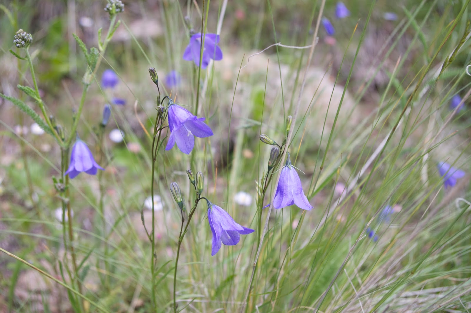
Now we sat and lunched by the stream. The trip back up wasn't as bad as I had expected. The cloud cover that had rolled in helped a lot. On the straightest, steepest stretches we rested quite a bit, but the switchback section was a breeze. A large flock of ravens talked to us much of the time. We admired the many wildflowers. The rain, the lightning and the thunder did not come and we were back at the truck in good enough shape to take a little look around before heading back down.


Labels: hiking, scenic driving
posted by Devon Fletcher at
6:46 PM
![]()
![]()


0 Comments:
Post a Comment
Subscribe to Post Comments [Atom]
<< Home