Tuesday, November 17, 2015

Robledo Mountains Wilderness, Robledo Canyon- Organ Mountains Desert Peaks National Monument


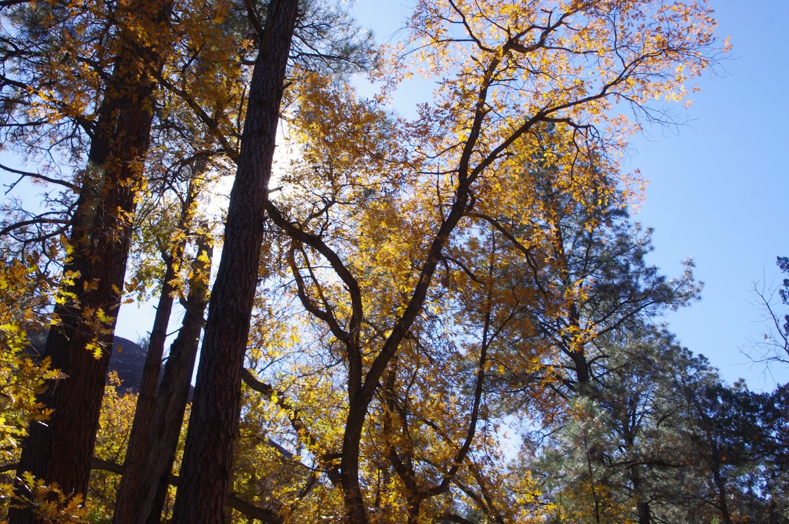
View to the high peaks of the Dona Ana Mountains


I'm christening this longest, deepest canyon that pierces the eastern wall of the Robledos, "Robledo Canyon." If after describing it here, you recognize the canyon of which I speak and know it by another name please let me know.
 I drove out onto levee road right at its closest approach to Valley Drive ( NM 185).  I parked in the  usual spot  when exploring these east side canyons ( see " Big " and " Middle" Canyons in this blog)and made my way across the puddles and mud that we call the Rio Grande. I shouldn't be complaining about the situation with our river. If they didn't let it go dry every winter, it would seriously mess with my access to many hikes. Still it's always a little sad to behold. Be careful when crossing after winter rain or snow and the first few weeks after the end of irrigation season, the mud is thick and very slippery.
 Unfortunately, because of private property on the west side of the river right at the mouth of the canyon that must be avoided, my approach was going to be long, not particularly scenic, and involved crossing two deep arroyos. I began chugging along trying to chew up the distance,  thinking this bit of the walk as pure drudgery. But, as always, there is something new to see that will lighten my mood. In  these case, it was the tiny leaves of the ocotillo showing their fall color, a sight I have no recollection of seeing before.

 It's always harder when I can see my destination far off in the distance. It seems to take forever to get any closer. I was also worried about the weather holding out. It did, with the exception of the cold wind that chilled my ears toward the end of the hike As I did get closer, I could see many holes in the  far off cliff walls that once again got me wondering if this area has really been thoroughly explored for caves by those folks who do that sort of thing. Down in the second arroyo, I opted for going straight up the canyon just to north of the one I was after. It was mostly boulder hopping, with one larger dry waterfall that had to be climbed around. There were some enormous desert junipers back here, that put in mind  the bristlecone pines out in Nevada and California, where the majority of the tree appears dead. This canyon shallowed up pretty quickly, and I climbed the now low canyon side up onto the ridge which was more like a huge plateau.


I wandered around to the west on the high ground, eventually climbing down past where Robledo Canyon makes a big turn to the northwest. A large tributary that comes in from the west, where I explored many years ago, looked inviting with large junipers in a narrow, winding  box, but I stuck with the main branch heading northwest. As I walked, I  kept an eye out for  fossils, mortar holes, rock art, but mostly what I saw was scat, lots and lots of scat  some of it the exact color of a red velvet cake left by an animal very fond of the tiny red berries that that proliferate on a couple of different desert shrubs( one is the lemonade bush, I think).  If anyone out there knows the likely culprit of these deposits, let me know.There was also the usual assortment of  desert shrubs including some javelina bushes that were almost taking on the characteristics of a small tree.
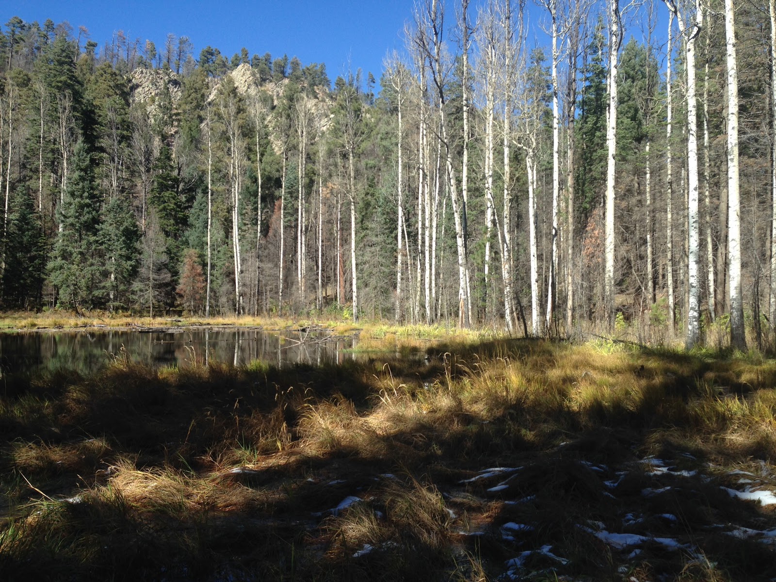
The nicest part of this upper canyon was a straight walled little corridor that I'll call the upper box. Past this, many tributaries began coming in, and eventually the streambed  I was walking was just a small rocky tributary itself. I sat down and snacked. I could see the high ridge of the Robledos off to the northeast.

Upper box
I headed back down now, relishing what was to come. At the turn, now to the east, the canyon opens up to become an immense arroyo, hundreds of feet below the gentle hill tops on either side. Further down, it began to narrow, and then narrow some more until  I was in a wonderful box with deep bends, and layered cliffs of limestone, sandstone ,shale and conglomerate towering on either side. There were a few bouldery sections, and one or two small  pour offs  to climb down, but mostly it was easy walking which is nice for soaking it all in.Right before leaving the mountains we came upon some massive conglomerate boulders, like the ones in Spring Canyon to south.  A very small raptor flew from between them( merlin, sharp shinned hawk, or maybe even a kestrel).There was also visible here a geological contact between the massive conglomerate and the tilted beds of much older (I think) layers. There was not however, any slot section, which I had vague memory  of from long ago.


 The return trip was a bit of trudging. I hoped to see some artifacts, but saw none. I did contemplate the usefulness of the friendly creosote, which, although it is sometimes indicative of environmental degradation,  can be  used safely to pull oneself up a steep arroyo bank, and can also assist in braking while traveling down the same. Eventually, I was back at the recently installed metal post and barbed wire fence and found  a gate to go through. Since it is impossible to see through the  salt cedar on the banks of the river to get a visual bearing, I was happy to  come out just a short ways north of the truck, which I was back to in due time.

Labels: , , ,

Wednesday, November 11, 2015

Gila National Forest- Hill Canyon


New Mexico Black Fox (also know as my Scottie Seamus)


 I may have figured out why no one was camped at the lovely little spot I had just visited on the short drive west on NM 35 over to Hill Canyon. Everyone was camped at the flats just east of Skates Canyon. There is  wide, all weather gravel road there which makes it accessible to group camping with large trailers and fifth wheels, which seems to be the preference nowadays. I took a  quick look at the veritable village that was set up and then skedaddled.
    Hill Canyon is the last large canyon on the south side  of the highway before getting to the private property on the east end of Lake Roberts. We drove only a short ways down the ungated primitive road when we  found ourselves  in the thick gravel of the creek itself. We wisely  turned around, got out of the stream bed, and availed ourselves of narrow parking spot a short ways back on safer ground at the side of the road. We couldn't have driven all that much further anyway, because we were quickly faced after only a few minutes of walking with the prospect of climbing the large gabion dam which spans the entire canyon. In the process of lifting Seamus up to the top,my camera tumbled out of its case and landed, not on the soft grass and mud, but on rock, whereupon the mounting ring on the lens cracked in two places.
  Above the dam, which is entirely filled in and serves little purpose at this point, we continued on up the gravelly wash . The canyon around us began to box up between walls of gray,blue and black andesitic rock- a contrast to the pinkish, orangish conglomerate seen almost everywhere in these parts. The stream was flowing nicely,  although, as with many Gila streams( Allie Canyon comes to mind) the gravel bed seems ready to accommodate a much larger flow. This is a smaller, steeper  canyon than nearby Skates, but it also shares many of it's characteristics. Pines  and oaks grow along its cliff bottoms with boxelders and walnut tress closer to the stream. Mountain mahogany crops up in the sunny spots. I saw something I very rarely see when exploring these trail-less side canyons: footprints. But this canyon is very close to summer cabins and a few year round homes, so perhaps it sees more folks just out for morning walk and a few boot prints are to be expected.


 I was still hoping to find a slot similar to the one that branches off to the west not too far upstream from the mouth of Skates Canyon. I found the beginning of one coming in from the east behind a huge fin of light colored rock. It was lovely little labyrinth cut through that ubiquitous conglomerate now, narrow enough and tall enough to preclude plant growth, with running water creating a series of  reflecting pools. Unfortunately it terminated in just a few hundred feet at a small waterfall, and by the  sun-soaked trees and shrubs  I could see above, there seemed little chance of the slot canyon continuing. Although, the falls would have been fairly easily climbed around, I retreated, happy to have had this little pleasure.


 We continued up the main branch. The water went underground. The box canyon dissipated into a more conventional upland, dry forest, stream valley with pinon, juniper and small doug firs and pines. I turned around.
We explored two canyons on the west side on the way back. One had a very similar feel to the slot over at Skates, but unfortunately, after only a hundred yards or so, we were stopped in our tracks by a waterfall that could not be climbed up and not very easily climbed around either. It looked as if the slot  canyon might continue above but, it was hard to tell. As a consolation prize, we saw  a little natural arch at its mouth on the way back out.


We headed back down, over the dam, looking for caves and pictographs as we picked our way through the chamisa and golden grass back to our truck.

Labels:

Gila National Forest - Gattons Park Box and Slot Canyons


  Seamus and I went out did some more exploring in the Lake Roberts, Sapillo Valley area  on Sunday. Our first stop was a couple of canyons on the south side of the highway(NM 35) just past the open meadows of private ranch land known as Gattons Park. After opening and closing the gate on Forest Road 4080F we drove on,bearing right onto FR 4080G. I have an unerring ability to pick the wrong road  to get me the closest to my trailhead. The road I should have taken is 4085X which leads right to the confluence of the two canyons and some lovely camping areas below cliffs and alcoves in the  globular Gila conglomerate.  Instead, we crossed the dry streambed on FR 4080G and parked at a small campsite before the road peters out. Happily, in this instance, my choice of roads didn't really matter much. We walked through the tall grass, then up the dry streambed and finally onto the FR 4085X which dead ends where the canyons box up. It was maybe 10 minutes of extra walking.
 We chose the left(east fork) and quickly were entrenched  in  a delightful little slot canyon. It was mostly less than 10 feet wide and the bends came fast and tight. In fact, it was very similar to the canyons I explored on the north side of Lake Roberts back in the spring, with one significant difference. Since this was a north facing, cooler environment, this canyon  and its larger  more open  western fork were lush with grasses, moss, deciduous oaks, box elders and many other water and shade loving species of the forest.


It was a fun little walk, punctuated by a bit of panic when a large javelina emerged seemingly from a crack in the cliffs, bypassing my leg by only a foot or two to run downstream. My only complaint about this little beauty of a canyon was the "slot" never was very deep, only running between 15 and 35 feet, although at times the sloping hillside cliffs towered more than a hundred feet above us.

 We made our way back, when it looked as if the slot was opening up for good. Back at the meeting of the two forks, we now took the western ( it looks like a middle branch on maps) prong.This was much more of box canyon, with a flat, wide, grassy floor, and large oak trees towering above. Blue skies and cool temperatures made it a beautiful time of year to be there, with the all the colors and scents of our attenuated fall as well to make it a perfect gift. This un-named shady little box was like a pint sized version of Skates Canyon, and we investigated  one or two tributaries in hope of finding something like the tributary to Skates Canyon  which is a fantastic slot, but to no avail.
Walking back to the truck, I admired all the beautiful camping spots and wondered why no one was camping here,  after all we were less than a mile from the paved road. I shall return, I thought, with tent.


Labels: ,

Tuesday, November 3, 2015

Black Range Crest Trail( FT 79) to Hillsboro Pond- Gila National Forest


This my second time to do this hike and the first time I've been on this trail in almost 10 years. A lot has changed over the past two. Most of the conifer forest was burned in the Silver Fire, and there is now precious little shade over most of the route. Deciduous oaks, survivors from  previous fires, had just grown big enough to shade sections of the trail by the looks of their bent over blackened tops. They are growing back from the roots- survivors once again. Hidden groves of aspen burned as well,but are beginning their comeback and poised for their period of dominance. Weeds and grasses are flourishing in this El Nino year, as are the many saplings of various deciduous species, all getting a chance to grow in the sun of this newly open terrain.


 The trail was well maintained and easy to follow. A few fallen snags were only minor obstructions. However, thorny locust is thriving in many areas now and could easily make travel difficult without constant trail clearing. We could not find any of the old Ladron Trail ( FT 127) to follow down to the pond. The Forest Service sign that said "Kingston 6 "is no longer there as well. We did make our way roughly down there anyway. Some of the aspens  around the waters edge have died, but the evergreens are doing well. The pond may have shrunk slightly, but it looks okay for now. Snow, which we had already seen in a few dark recesses on the trail, lay on the thickly tufted grass which,as it takes root in the shallow waters will eventually take over this little natural lake.


 It was a beautiful fall day,with colors arriving,fading and still a few yet to come even at this late date.It's nice to do a high country hike, after so many canyons and valleys. The views, greatly improved by the lack of live tree cover were fantastic. The  majestically convoluted, rocky terrain of the Black Range was laid bare,a new reminder of just how rugged the range I've spent so much time in really is. An arch formation that was right off the trail, that I'd never noticed before also reminded me that there is still so much to discover here. So I will return to see how it changes as it comes back. It may be hard to countenance the blackened trees,but I realize that as long as I'm here in southwest New Mexico, it will never be too long between visits.


Labels: ,