Souse Springs to Las Uvas Spring Hike- Sierra de las Uvas


One thing I'm learning about cross country hiking in the desert is that you have look for a point in the curves of an arroyo to bring you down gently.When I forget this, I am frequently end up standing on a sharp cut bank that is just too high to jump down.Well, we made it to the road which was my second to last waypoint ( after searching for a crossing)and now only had a quarter mile to Las Uvas Spring. The GPS said straight south. I had my doubts. It just didn't feel right,but I obeyed. I got to where the GPS was saying the spring should be.There was only one problem- it wasn't there.
I decided to head west, all the while looking up at the cliffs for some indicators of a spring which is little harder in the winter time. I had walked over a small ridge onto a flat when I saw some green that wasn't a yucca or juniper and cluster of brown vine that I surmised to be dormant wild grape. I had found the spring. I climbed up to the base of the cliffs and then down to a short passage way that was almost completely shaded by the vines. A small cave contains the water. I didn't shine my flashlight in there so I can't say how deep the water was or how extensive the cave. I did fill up bottles. Seamus wasn't that interested in the water, which worried me a little.He was more curious about investigating the tunnel through the vines. Later, he drank the water with no ill effects. I would have purified it had I remembered the batteries for my Steripen.
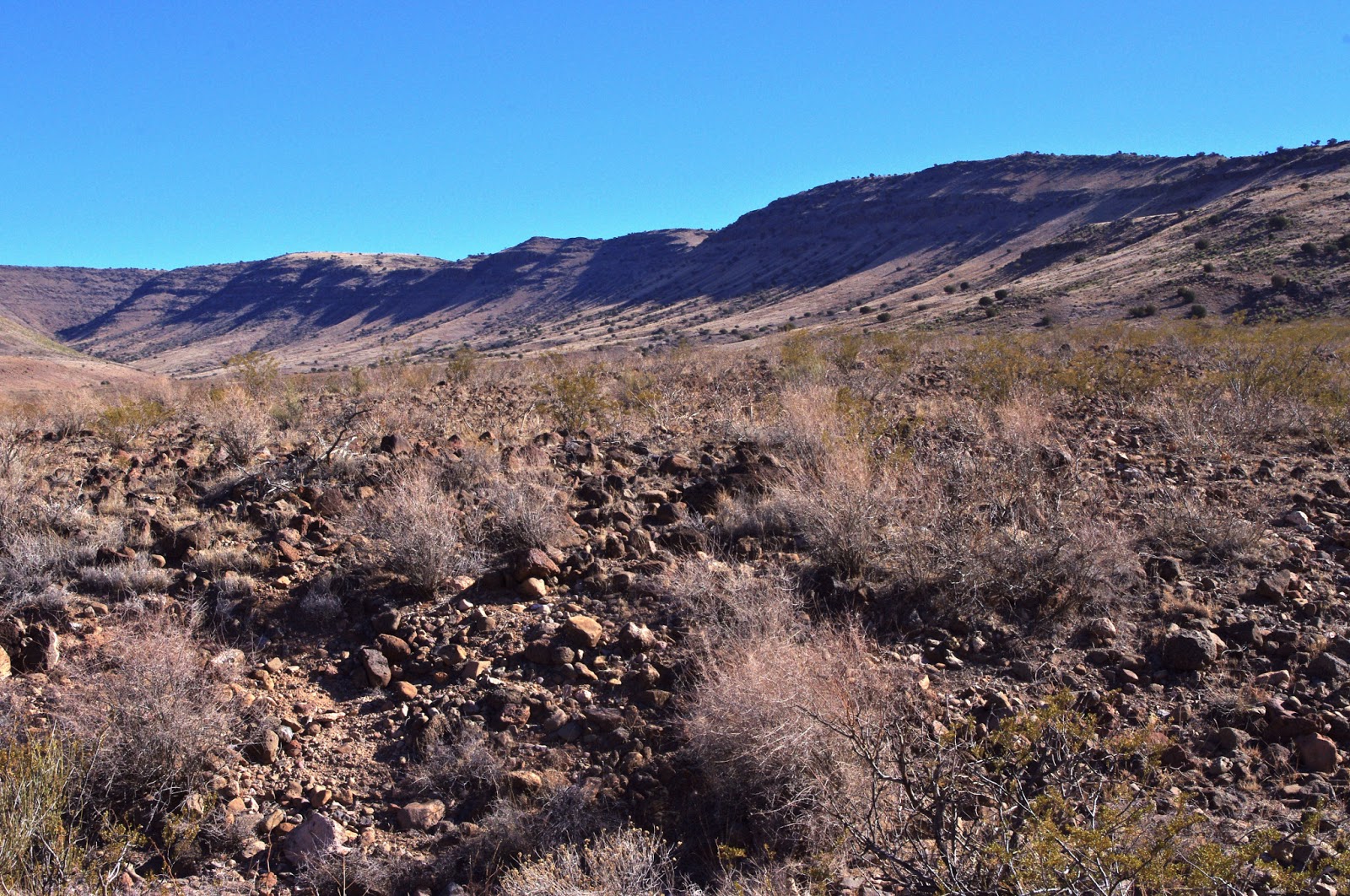
I ate lunch back down on the flat against a boulder that had several grinding mortar holes in it. It was comfort to sit and think of the people so far removed from my experience who sat and ate at this spot so long ago. We did some looking around and then headed back pretty much the way we came. I would recommend visiting these sites, but not necessarily the hike I made. It was very rough and there was little to make it interesting along the way, except perhaps the abundant chalcedony and occasional agate that littered the ground. The best scenery doesn't start until more than 2 miles in.My hike was a little over seven miles round trip. Elevation net gain was only about 400 feet but there is a lot of up and down. Note: The topo and BLM maps are wrong. The spring is about a quarter mile to the west of where it is indicated.
Second Important Note:Though not posted at this time both Uvas Spring and Souse Springs are on private property.


Labels: hiking, Organ Mountains/Desert Peaks National Monument
posted by Devon Fletcher at
7:51 PM
![]()
![]()


1 Comments:
Nice hike and cool place
Eric
Post a Comment
Subscribe to Post Comments [Atom]
<< Home